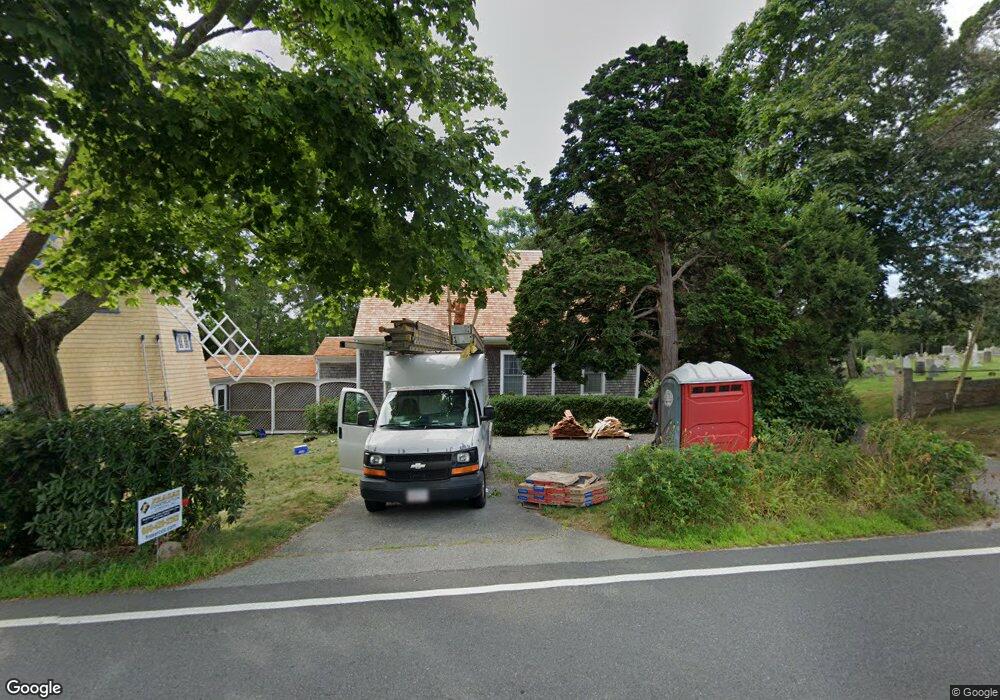
1090 County Rd Pocasset, MA 2559
Pocasset NeighborhoodEstimated Value: $750,000 - $788,000
2
Beds
3
Baths
1,948
Sq Ft
$397/Sq Ft
Est. Value
About This Home
This home is located at 1090 County Rd, Pocasset, MA 2559 and is currently estimated at $772,632, approximately $396 per square foot. 1090 County Rd is a home located in Barnstable County with nearby schools including Bourne High School, Cadence Academy Preschool - Bourne, and Heritage Christian Academy.
Ownership History
Date
Name
Owned For
Owner Type
Purchase Details
Closed on
Jan 26, 2015
Sold by
Connor Carolyn L and Connor R W
Bought by
1090 County Road Rt and Connor
Current Estimated Value
Purchase Details
Closed on
Feb 25, 1994
Sold by
Amanda Louise Rt and Forziati
Bought by
Connor W Robert W and Connor Carolyn L
Create a Home Valuation Report for This Property
The Home Valuation Report is an in-depth analysis detailing your home's value as well as a comparison with similar homes in the area
Home Values in the Area
Average Home Value in this Area
Purchase History
| Date | Buyer | Sale Price | Title Company |
|---|---|---|---|
| 1090 County Road Rt | -- | -- | |
| 1090 County Road Rt | -- | -- | |
| Connor W Robert W | $65,000 | -- | |
| Connor W Robert W | $65,000 | -- |
Source: Public Records
Mortgage History
| Date | Status | Borrower | Loan Amount |
|---|---|---|---|
| Previous Owner | Connor W Robert W | $175,000 | |
| Previous Owner | Connor W Robert W | $190,000 | |
| Previous Owner | Connor W Robert W | $190,000 | |
| Previous Owner | Connor W Robert W | $248,000 |
Source: Public Records
Tax History Compared to Growth
Tax History
| Year | Tax Paid | Tax Assessment Tax Assessment Total Assessment is a certain percentage of the fair market value that is determined by local assessors to be the total taxable value of land and additions on the property. | Land | Improvement |
|---|---|---|---|---|
| 2025 | $4,919 | $629,800 | $170,500 | $459,300 |
| 2024 | $4,518 | $563,300 | $162,400 | $400,900 |
| 2023 | $4,431 | $503,000 | $143,700 | $359,300 |
| 2022 | $4,094 | $405,700 | $120,500 | $285,200 |
| 2021 | $3,976 | $369,200 | $109,600 | $259,600 |
| 2020 | $3,714 | $345,800 | $108,600 | $237,200 |
| 2019 | $3,523 | $335,200 | $108,600 | $226,600 |
| 2018 | $3,322 | $315,200 | $103,400 | $211,800 |
| 2017 | $3,547 | $344,400 | $113,800 | $230,600 |
| 2016 | $3,440 | $338,600 | $113,800 | $224,800 |
| 2015 | $3,410 | $338,600 | $113,800 | $224,800 |
Source: Public Records
Map
Nearby Homes
- 3 Red Brook Pond Dr
- 48 Red Brook Harbor Rd
- 940 County Rd
- 22 Nairn Rd
- 1234 Route 28a
- 1234 Route 28a
- 10 Squeteague Harbor Rd
- 31 Baxendale Rd
- 171 Bellavista Dr
- 7 4th Ave
- 254 Barlows Landing Rd
- 940 County Rd
- 75 Winsor Rd
- 15 1st St
- 709 County Rd
- 250 Scraggy Neck Rd
- 34 Kenwood Rd
- 7 Portside Dr
- 45 Kenwood Rd
- 23 Wohelo Dr
- 1092 County Rd
- 17 Red Brook Pond Dr
- 1094 County Rd
- 4 Old Dam Rd
- 11 Red Brook Pond Dr
- 3 and 5 Red Brook Pond Dr
- 9 Red Brook Pond Dr
- 1054 County Rd
- 1054 County Rd
- 1100 County Rd
- 1068 County Rd
- 1050 County Rd
- 1050 County Rd
- 1050 County
- 0 Mill Pond Cir Unit 71435788
- 3 Mill Pond Cir
- 3 Mill Pond Cir
- 1066 County Rd
- 2 Red Brook Harbor Area
- 2 Red Brook Rd