1090 Hutson Cir Summit, MS 39666
Estimated Value: $228,883 - $291,000
3
Beds
2
Baths
1,516
Sq Ft
$170/Sq Ft
Est. Value
About This Home
This home is located at 1090 Hutson Cir, Summit, MS 39666 and is currently estimated at $257,971, approximately $170 per square foot. 1090 Hutson Cir is a home located in Pike County with nearby schools including North Pike Elementary School, North Pike Middle School, and North Pike Senior High School.
Ownership History
Date
Name
Owned For
Owner Type
Purchase Details
Closed on
Mar 1, 2005
Sold by
Berry Lisa M and Berry Raborn Lisa M
Bought by
Burges Shannon C
Current Estimated Value
Home Financials for this Owner
Home Financials are based on the most recent Mortgage that was taken out on this home.
Original Mortgage
$85,002
Interest Rate
5.61%
Mortgage Type
USDA
Create a Home Valuation Report for This Property
The Home Valuation Report is an in-depth analysis detailing your home's value as well as a comparison with similar homes in the area
Purchase History
| Date | Buyer | Sale Price | Title Company |
|---|---|---|---|
| Burges Shannon C | -- | None Available |
Source: Public Records
Mortgage History
| Date | Status | Borrower | Loan Amount |
|---|---|---|---|
| Previous Owner | Burges Shannon C | $85,002 |
Source: Public Records
Tax History
| Year | Tax Paid | Tax Assessment Tax Assessment Total Assessment is a certain percentage of the fair market value that is determined by local assessors to be the total taxable value of land and additions on the property. | Land | Improvement |
|---|---|---|---|---|
| 2025 | $1,703 | $14,795 | $0 | $0 |
| 2024 | $1,440 | $12,667 | $0 | $0 |
| 2023 | $1,403 | $12,667 | $0 | $0 |
| 2022 | $1,369 | $12,597 | $0 | $0 |
| 2021 | $1,365 | $12,597 | $0 | $0 |
| 2020 | $1,391 | $12,739 | $0 | $0 |
| 2019 | $1,350 | $12,739 | $0 | $0 |
| 2018 | $1,343 | $12,772 | $0 | $0 |
| 2017 | $1,308 | $12,772 | $0 | $0 |
| 2016 | $1,120 | $12,772 | $0 | $0 |
| 2015 | $1,040 | $12,345 | $0 | $0 |
| 2014 | $885 | $11,154 | $0 | $0 |
| 2013 | -- | $11,154 | $0 | $0 |
Source: Public Records
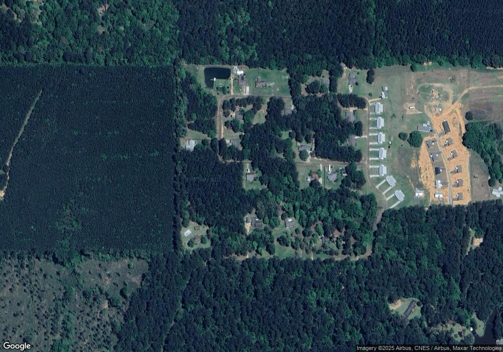
Map
Nearby Homes
- 1054 Gardenia Ln
- 2011 Guy Barkdull Rd
- 0 Mallard Trail
- 0000 Chantilly Dr
- 1010 Orleans Dr
- 3037 Brandi Rd
- 1091 Moaks Creek Rd
- 2008 Johnston Station Rd
- 3161 Old Brookhaven Rd
- 5060 Old Brookhaven Rd
- 1046 Summer Oak Ln
- 1033 Spike Ln
- 1028 Antler Dr
- 1053 Johnston Station Rd
- 401 Montgomery Rd SW
- TBD River Rd N
- 1082 Double m Ln
- 0 River Rd N
- 0 Country Lake Dr Unit 4128554
- 0 Country Lake Dr Unit 4128553
- 1077 Hutson Cir
- 0 Hutson Cir
- n/a Hutson Cir
- 1063 Dixie Springs Rd
- 1103 Hutson Cir W
- 1061 Hutson Cir
- 1071 Dixie Springs Rd
- 1106 Hutson Cir
- 1078 Hutson Cir
- 1112 Hutson Cir
- 1049 Dixie Springs Rd
- 1056 Hutson Cir
- 1062 Hutson Cir
- 1019 Hutson Cir
- 1019 Hutson Cir
- 1025 Hutson Cir
- 1083 Dixie Springs Rd
- 1025 Hutson Cir
- 1042 Hutson Cir
- 1010 Hutson Cir
Your Personal Tour Guide
Ask me questions while you tour the home.