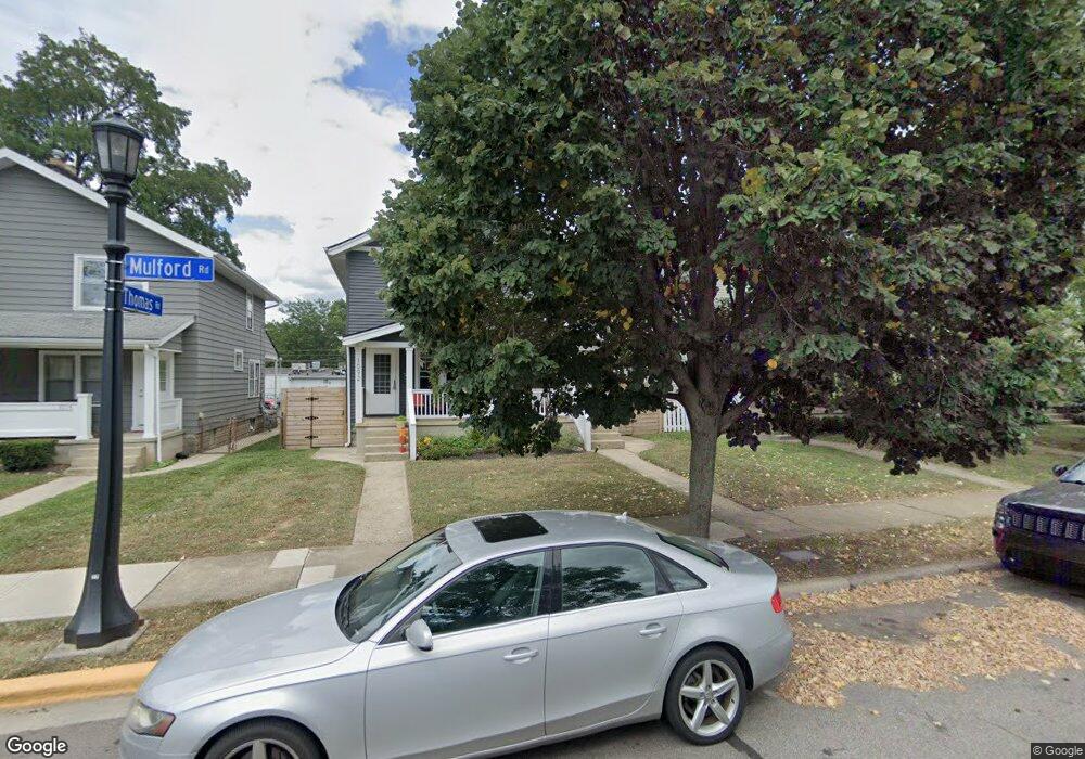
1090 Mulford Rd Unit 92 Columbus, OH 43212
Estimated Value: $314,000 - $581,000
4
Beds
2
Baths
1,730
Sq Ft
$276/Sq Ft
Est. Value
About This Home
This home is located at 1090 Mulford Rd Unit 92, Columbus, OH 43212 and is currently estimated at $477,622, approximately $276 per square foot. 1090 Mulford Rd Unit 92 is a home located in Franklin County with nearby schools including Robert Louis Stevenson Elementary School, Larson Middle School, and Grandview Heights High School.
Ownership History
Date
Name
Owned For
Owner Type
Purchase Details
Closed on
Sep 2, 2020
Sold by
Schirtzinger A Kathryn
Bought by
Schirtzinger Matthew T and A Kathryn Schirtzinger Trust
Current Estimated Value
Purchase Details
Closed on
May 12, 2020
Sold by
Schirtzinger A Kathryn and Robert L Schirtzinger Trust
Bought by
Schirtzinger A Kathryn
Purchase Details
Closed on
Oct 5, 1993
Bought by
Schirtzinger Robert L
Purchase Details
Closed on
Jun 1, 1983
Create a Home Valuation Report for This Property
The Home Valuation Report is an in-depth analysis detailing your home's value as well as a comparison with similar homes in the area
Home Values in the Area
Average Home Value in this Area
Purchase History
| Date | Buyer | Sale Price | Title Company |
|---|---|---|---|
| Schirtzinger Matthew T | -- | None Available | |
| Schirtzinger A Kathryn | -- | None Available | |
| Schirtzinger Robert L | $72,000 | -- | |
| -- | -- | -- |
Source: Public Records
Tax History Compared to Growth
Tax History
| Year | Tax Paid | Tax Assessment Tax Assessment Total Assessment is a certain percentage of the fair market value that is determined by local assessors to be the total taxable value of land and additions on the property. | Land | Improvement |
|---|---|---|---|---|
| 2024 | $8,260 | $139,060 | $61,460 | $77,600 |
| 2023 | $7,254 | $139,055 | $61,460 | $77,595 |
| 2022 | $6,860 | $111,970 | $40,500 | $71,470 |
| 2021 | $6,431 | $111,970 | $40,500 | $71,470 |
| 2020 | $6,405 | $111,970 | $40,500 | $71,470 |
| 2019 | $6,174 | $95,490 | $40,500 | $54,990 |
| 2018 | $5,565 | $95,490 | $40,500 | $54,990 |
| 2017 | $5,771 | $95,490 | $40,500 | $54,990 |
| 2016 | $4,976 | $70,430 | $26,920 | $43,510 |
| 2015 | $4,976 | $70,430 | $26,920 | $43,510 |
| 2014 | $4,991 | $70,430 | $26,920 | $43,510 |
| 2013 | $2,198 | $64,015 | $24,465 | $39,550 |
Source: Public Records
Map
Nearby Homes
- 932 Mcclain Rd
- 1081 W 3rd Ave
- 1111 Northwest Blvd Unit 113
- 922 Northwest Blvd
- 910-912 Northwest Blvd
- 1068 Edgehill Rd
- 1124 Edgehill Rd
- 866-870 Northwest Blvd
- 945 Quay Ave Unit G
- 945 Quay Ave Unit 945E
- 854 Pullman Way
- 1225 Eastview Ave
- 1240 Oxley Rd
- 1083 W 3rd Ave
- 1242 Oxley Rd
- 828 Bobcat Ave Unit 203
- 828 Bobcat Ave Unit 204
- 1093 W 3rd Ave
- 1095 W 3rd Ave
- 1399 W 1st Ave
- 1084 Mulford Rd Unit 86
- 1094 Mulford Rd Unit 96
- 1100 Mulford Rd Unit 102
- 1100-1102 Mulford Rd
- 1078 Mulford Rd Unit 82
- 1106 Mulford Rd Unit 108
- 1106 Mulford Rd Unit 1106 and 1108
- 1072 Mulford Rd Unit 74
- 1089 W 1st Ave Unit 91
- 1095 W 1st Ave Unit 97
- 1110 Mulford Rd Unit 112
- 1068 Mulford Rd Unit 70
- 1089 Mulford Rd
- 1081 Mulford Rd Unit 85
- 967 Thomas Rd Unit 969
- 1075 Mulford Rd Unit 77
- 1118 Mulford Rd Unit 116
- 1062 Mulford Rd Unit 64
- 1107 Mulford Rd Unit 109
- 1107 Mulford Rd Unit 9