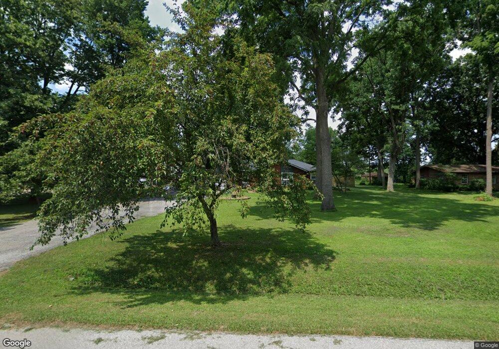
1090 Rustic Ln Whiteland, IN 46184
Estimated Value: $274,000 - $327,000
3
Beds
2
Baths
2,100
Sq Ft
$144/Sq Ft
Est. Value
About This Home
This home is located at 1090 Rustic Ln, Whiteland, IN 46184 and is currently estimated at $302,775, approximately $144 per square foot. 1090 Rustic Ln is a home located in Johnson County with nearby schools including Pleasant Crossing Elementary School, Clark-Pleasant Middle School, and Whiteland Community High School.
Ownership History
Date
Name
Owned For
Owner Type
Purchase Details
Closed on
May 26, 2020
Sold by
Baker James C
Bought by
Baker James C and Goodman Donna M
Current Estimated Value
Home Financials for this Owner
Home Financials are based on the most recent Mortgage that was taken out on this home.
Original Mortgage
$115,000
Outstanding Balance
$101,939
Interest Rate
3.2%
Mortgage Type
Adjustable Rate Mortgage/ARM
Estimated Equity
$200,836
Purchase Details
Closed on
Feb 21, 2013
Sold by
Raasch Derek C and Raasch Tseylevol A
Bought by
Equity Trust Company
Purchase Details
Closed on
Jul 17, 2006
Sold by
Collins David R and Collins Cheryl A
Bought by
Raasch Derek and Raasch Tseylevol
Create a Home Valuation Report for This Property
The Home Valuation Report is an in-depth analysis detailing your home's value as well as a comparison with similar homes in the area
Home Values in the Area
Average Home Value in this Area
Purchase History
| Date | Buyer | Sale Price | Title Company |
|---|---|---|---|
| Baker James C | -- | None Available | |
| Baker James C | -- | None Available | |
| Equity Trust Company | $54,000 | None Available | |
| Raasch Derek | -- | None Available |
Source: Public Records
Mortgage History
| Date | Status | Borrower | Loan Amount |
|---|---|---|---|
| Open | Baker James C | $115,000 |
Source: Public Records
Tax History
| Year | Tax Paid | Tax Assessment Tax Assessment Total Assessment is a certain percentage of the fair market value that is determined by local assessors to be the total taxable value of land and additions on the property. | Land | Improvement |
|---|---|---|---|---|
| 2025 | $1,891 | $273,600 | $41,300 | $232,300 |
| 2024 | $1,891 | $221,200 | $41,300 | $179,900 |
| 2023 | $2,107 | $229,500 | $41,500 | $188,000 |
| 2022 | $2,225 | $219,800 | $31,800 | $188,000 |
| 2021 | $1,783 | $180,600 | $31,800 | $148,800 |
| 2020 | $1,534 | $159,200 | $28,900 | $130,300 |
| 2019 | $1,346 | $144,900 | $27,000 | $117,900 |
| 2018 | $1,497 | $154,200 | $27,000 | $127,200 |
| 2017 | $1,441 | $148,800 | $27,000 | $121,800 |
| 2016 | $1,370 | $144,400 | $27,000 | $117,400 |
| 2014 | $1,364 | $135,900 | $27,000 | $108,900 |
| 2013 | $1,364 | $138,800 | $27,000 | $111,800 |
Source: Public Records
Map
Nearby Homes
- 731 W 600 N
- 5861 N 75 W
- 346 Switchgrass Ln
- 3258 Hemlock St
- 1052 Hilltop Commons Blvd
- 3088 Limber Pine Dr
- 2914 Branch St
- 126 Tracy Ridge Blvd
- 817 Sylvan St
- 847 Sylvan St
- 1039 Old Adobe Ln
- 821 Princeton Dr
- 1062 Berwyn Rd
- 143 Tracy Ridge Blvd
- 2777 Grand Fir Dr
- 138 Crestwood Dr
- 217 Crestwood Dr
- 451 Mooreland Dr
- 153 Parkview Dr
- 776 Tall Timber Dr
Your Personal Tour Guide
Ask me questions while you tour the home.