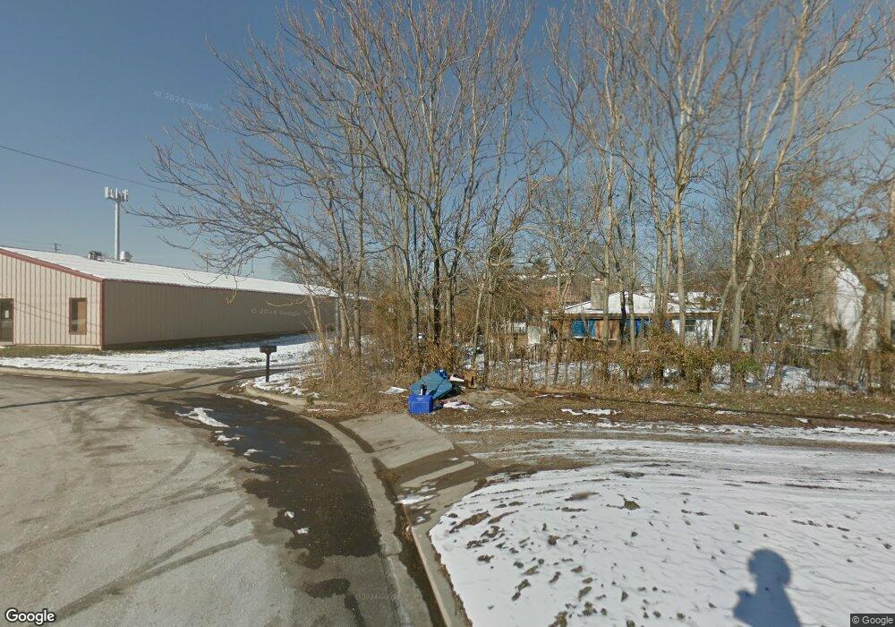
Estimated Value: $345,000 - $380,000
3
Beds
3
Baths
3,055
Sq Ft
$119/Sq Ft
Est. Value
About This Home
This home is located at 10901 State Route Bb, Rolla, MO 65401 and is currently estimated at $362,660, approximately $118 per square foot. 10901 State Route Bb is a home located in Phelps County with nearby schools including Rolla Junior High School, Rolla Senior High School, and Rolla Seventh-Day Adventist School.
Ownership History
Date
Name
Owned For
Owner Type
Purchase Details
Closed on
Jul 22, 2015
Current Estimated Value
Purchase Details
Closed on
Oct 15, 2009
Purchase Details
Closed on
Jun 19, 2002
Purchase Details
Closed on
Aug 6, 1997
Purchase Details
Closed on
Aug 27, 1987
Create a Home Valuation Report for This Property
The Home Valuation Report is an in-depth analysis detailing your home's value as well as a comparison with similar homes in the area
Home Values in the Area
Average Home Value in this Area
Purchase History
| Date | Buyer | Sale Price | Title Company |
|---|---|---|---|
| -- | $134,000 | -- | |
| -- | -- | -- | |
| -- | -- | -- | |
| -- | -- | -- | |
| -- | -- | -- |
Source: Public Records
Tax History
| Year | Tax Paid | Tax Assessment Tax Assessment Total Assessment is a certain percentage of the fair market value that is determined by local assessors to be the total taxable value of land and additions on the property. | Land | Improvement |
|---|---|---|---|---|
| 2025 | $2,170 | $40,420 | $4,780 | $35,640 |
| 2024 | $1,830 | $35,860 | $3,460 | $32,400 |
| 2023 | $1,842 | $35,860 | $3,460 | $32,400 |
| 2022 | $1,550 | $35,860 | $3,460 | $32,400 |
| 2021 | $1,563 | $35,860 | $3,460 | $32,400 |
| 2020 | $1,410 | $31,640 | $3,460 | $28,180 |
| 2019 | $1,402 | $31,640 | $3,460 | $28,180 |
| 2018 | $1,389 | $31,640 | $3,460 | $28,180 |
| 2017 | $1,387 | $31,640 | $3,460 | $28,180 |
| 2016 | $1,339 | $31,640 | $3,460 | $28,180 |
| 2015 | -- | $31,640 | $3,460 | $28,180 |
| 2014 | -- | $31,640 | $3,460 | $28,180 |
| 2013 | -- | $31,640 | $0 | $0 |
Source: Public Records
Map
Nearby Homes
- 10605 Larson Ln
- 10566 Butler Cir
- 10556 Butler Cir
- 803 Lovers Ln
- 10540 Butler Cir
- 501 Lovers Ln
- 10335 Stoltz Dr
- 10575 Stoltz Dr
- 0 Napa Unit 23027723
- 10815 Timber Dr
- 10659 Lakemont Dr
- 404 Fox Creek Rd
- 1500 Independence Rd
- 10840 Breeden Dr
- 1506 Whitney Ln
- 1603 Independence Rd
- 101 Steeplechase Rd
- 11105 County Road 3030
- 10625 Pine Needle Cir
- 0 McCutchen Unit MIS25079909
- 10901 State Route Bb
- 10891 State Route Bb
- 10821 State Route Bb
- 10821 State Route Bb
- 10821 State Route Bb
- 10801 State Route Bb
- 11090 State Route Bb
- 10135 Private Drive 3055
- 10781 State Route Bb
- 10258 Private Drive 3055
- 10701 State Route Bb
- 10251 Private Drive 3055
- 10025 Cedar Ridge Dr
- 10591 State Route Bb
- 10065 Cedar Ridge Dr
- 10105 Cedar Ridge Dr
- 10371 Private Drive 3055
- 10030 Cedar Ridge Dr
- 10165 Cedar Ridge Dr
- 10070 Cedar Ridge Dr
