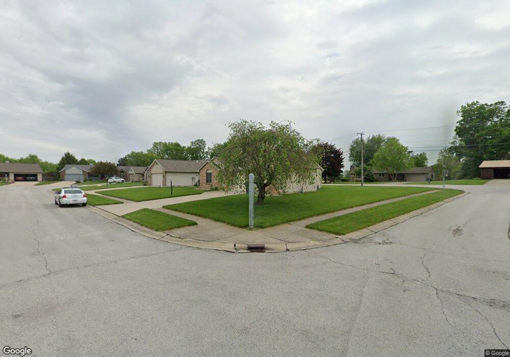
10906 Towpath Ct New Haven, IN 46774
Estimated Value: $225,129 - $254,000
3
Beds
2
Baths
1,203
Sq Ft
$197/Sq Ft
Est. Value
About This Home
This home is located at 10906 Towpath Ct, New Haven, IN 46774 and is currently estimated at $236,782, approximately $196 per square foot. 10906 Towpath Ct is a home located in Allen County with nearby schools including New Haven Primary School, New Haven Intermediate School, and New Haven High School.
Ownership History
Date
Name
Owned For
Owner Type
Purchase Details
Closed on
Nov 22, 2019
Sold by
Geary Gregory A and Estate Of Deborah A Geary
Bought by
Geary Gregory A and Geary Lori
Current Estimated Value
Create a Home Valuation Report for This Property
The Home Valuation Report is an in-depth analysis detailing your home's value as well as a comparison with similar homes in the area
Home Values in the Area
Average Home Value in this Area
Purchase History
| Date | Buyer | Sale Price | Title Company |
|---|---|---|---|
| Geary Gregory A | -- | None Available |
Source: Public Records
Tax History Compared to Growth
Tax History
| Year | Tax Paid | Tax Assessment Tax Assessment Total Assessment is a certain percentage of the fair market value that is determined by local assessors to be the total taxable value of land and additions on the property. | Land | Improvement |
|---|---|---|---|---|
| 2024 | $1,863 | $186,300 | $42,500 | $143,800 |
| 2023 | $1,716 | $173,600 | $29,300 | $144,300 |
| 2022 | $1,414 | $143,900 | $29,300 | $114,600 |
| 2021 | $1,235 | $125,500 | $29,300 | $96,200 |
| 2020 | $1,208 | $125,500 | $29,300 | $96,200 |
| 2019 | $1,226 | $123,200 | $29,300 | $93,900 |
| 2018 | $1,191 | $118,600 | $29,300 | $89,300 |
| 2017 | $987 | $104,300 | $29,300 | $75,000 |
| 2016 | $904 | $99,800 | $29,300 | $70,500 |
| 2014 | $891 | $101,400 | $29,300 | $72,100 |
| 2013 | $970 | $105,400 | $29,300 | $76,100 |
Source: Public Records
Map
Nearby Homes
- 1231 Lost Lock Way
- 241 Tweedwood Dr
- 347 Twillo Run Dr
- 738 Keller Dr
- 1415 Summit St
- 1004 Keller Dr
- 1511 State Road 930 E Rd
- 1135 Summit St
- 1710 Richfield Dr
- 1717 E Macgregor Dr
- 1506 Tartan Ct
- 627 Main St
- 2427 Valley Creek Run
- 2512 Valley Creek Run
- 1312 Deveron Dr
- 9336 Hobart Way
- 9312 Hobart Way
- 9300 Hobart Way
- 694 Chellberge Pass
- 702 Chellberge Pass
- 10914 Towpath Ct
- 10830 Towpath Ct
- 10922 Towpath Ct
- 10903 Towpath Ct
- 2024 Summit St
- 10911 Towpath Ct
- 1424 Canal Ridge Dr
- 10919 Towpath Ct
- 10930 Towpath Ct
- 2018 Summit St
- 10816 Towpath Ct
- 10935 Towpath Ct
- 10927 Towpath Ct
- 1333 Lost Lock Way
- 2042 Summit St
- 1329 Lost Lock Way
- 10802 Towpath Ct
- 10815 Towpath Ct
- 1412 Canal Ridge Dr
- 10801 Towpath Ct