1091 Foede Cir Montrose, MN 55363
Estimated Value: $311,320 - $345,000
3
Beds
2
Baths
1,525
Sq Ft
$216/Sq Ft
Est. Value
About This Home
This home is located at 1091 Foede Cir, Montrose, MN 55363 and is currently estimated at $328,830, approximately $215 per square foot. 1091 Foede Cir is a home located in Wright County with nearby schools including Montrose Elementary School, Buffalo Community Middle School, and Buffalo Senior High School.
Ownership History
Date
Name
Owned For
Owner Type
Purchase Details
Closed on
Aug 24, 2020
Sold by
Lgi Homes Minnesota Llc
Bought by
Dingmann Mark and Dingmann Barbara
Current Estimated Value
Home Financials for this Owner
Home Financials are based on the most recent Mortgage that was taken out on this home.
Original Mortgage
$261,083
Interest Rate
2.9%
Mortgage Type
FHA
Create a Home Valuation Report for This Property
The Home Valuation Report is an in-depth analysis detailing your home's value as well as a comparison with similar homes in the area
Home Values in the Area
Average Home Value in this Area
Purchase History
| Date | Buyer | Sale Price | Title Company |
|---|---|---|---|
| Dingmann Mark | $265,900 | Burnet Title |
Source: Public Records
Mortgage History
| Date | Status | Borrower | Loan Amount |
|---|---|---|---|
| Previous Owner | Dingmann Mark | $261,083 |
Source: Public Records
Tax History Compared to Growth
Tax History
| Year | Tax Paid | Tax Assessment Tax Assessment Total Assessment is a certain percentage of the fair market value that is determined by local assessors to be the total taxable value of land and additions on the property. | Land | Improvement |
|---|---|---|---|---|
| 2025 | $3,476 | $292,100 | $48,000 | $244,100 |
| 2024 | $3,628 | $284,100 | $47,000 | $237,100 |
| 2023 | $3,440 | $320,800 | $77,000 | $243,800 |
| 2022 | $3,308 | $282,000 | $69,000 | $213,000 |
| 2021 | $3,288 | $235,700 | $35,000 | $200,700 |
| 2020 | $600 | $229,400 | $30,000 | $199,400 |
| 2019 | $416 | $25,000 | $0 | $0 |
| 2018 | $324 | $15,000 | $0 | $0 |
| 2017 | $296 | $10,000 | $0 | $0 |
| 2016 | $298 | $0 | $0 | $0 |
| 2015 | $302 | $0 | $0 | $0 |
| 2014 | -- | $0 | $0 | $0 |
Source: Public Records
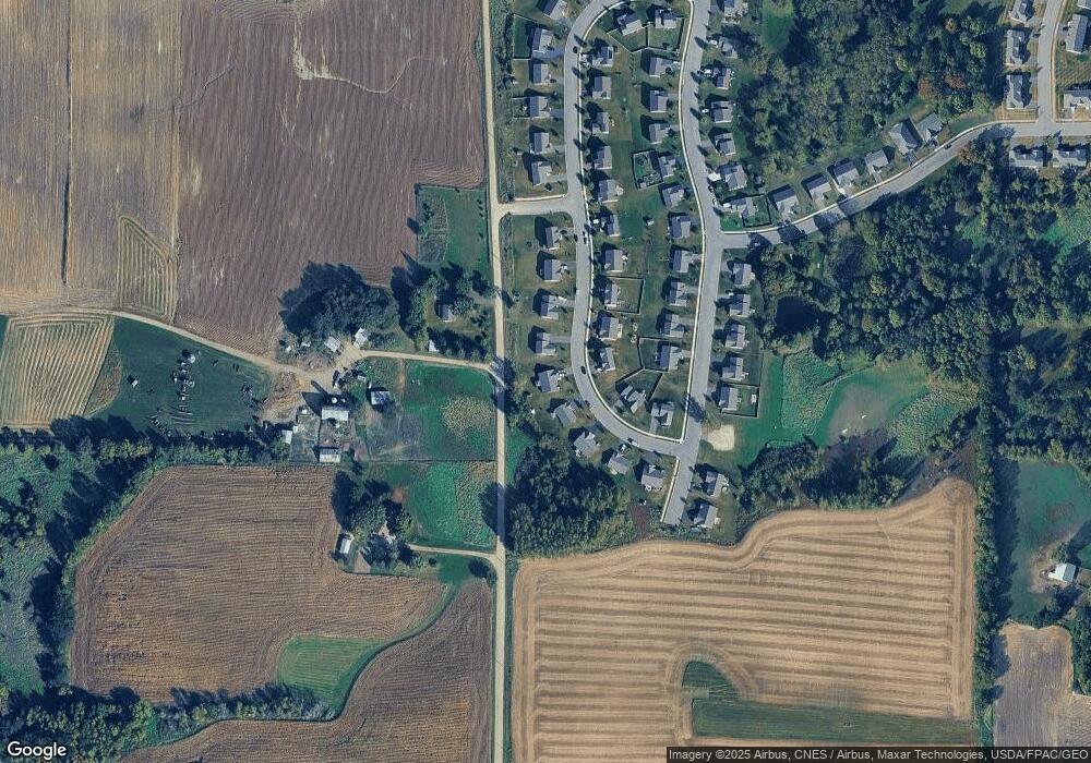
Map
Nearby Homes
- 1023 White Tail Ln
- 1026 White Tail Ln
- 995 Fox Ave
- 1011 Alexander Ct
- 204 Wilson St
- Cameron Plan at Northridge
- Granite Plan at Northridge
- Harris Plan at Northridge
- 699 Aspen Ln
- 697 Aspen Ln
- 695 Aspen Ln
- 693 Aspen Ln
- 691 Aspen Ln
- 689 Aspen Ln
- 687 Aspen Ln
- 685 Aspen Ln
- 151 Garner Cir
- 683 Aspen Ln
- 692 Aspen Ln
- 690 Aspen Ln
- xxx Crofoot Ave SW
- 1093 Foede Cir
- 1089 Foede Cir
- 1087 Foede Cir
- 1095 Foede Cir
- 1090 Foede Cir
- 1092 Foede Cir
- 1086 Foede Cir
- 1085 Foede Cir
- 1097 Foede Cir
- 4933 Crofoot Ave SW
- 1094 Foede Cir
- 1093 Sunset Ave
- 1084 Foede Cir
- 1083 Foede Cir
- 1095 Sunset Ave
- 1099 Foede Cir
- 1096 Foede Cir
- 1097 Sunset Ave
- 1098 Foede Cir