Estimated Value: $152,000 - $171,000
2
Beds
1
Bath
912
Sq Ft
$181/Sq Ft
Est. Value
About This Home
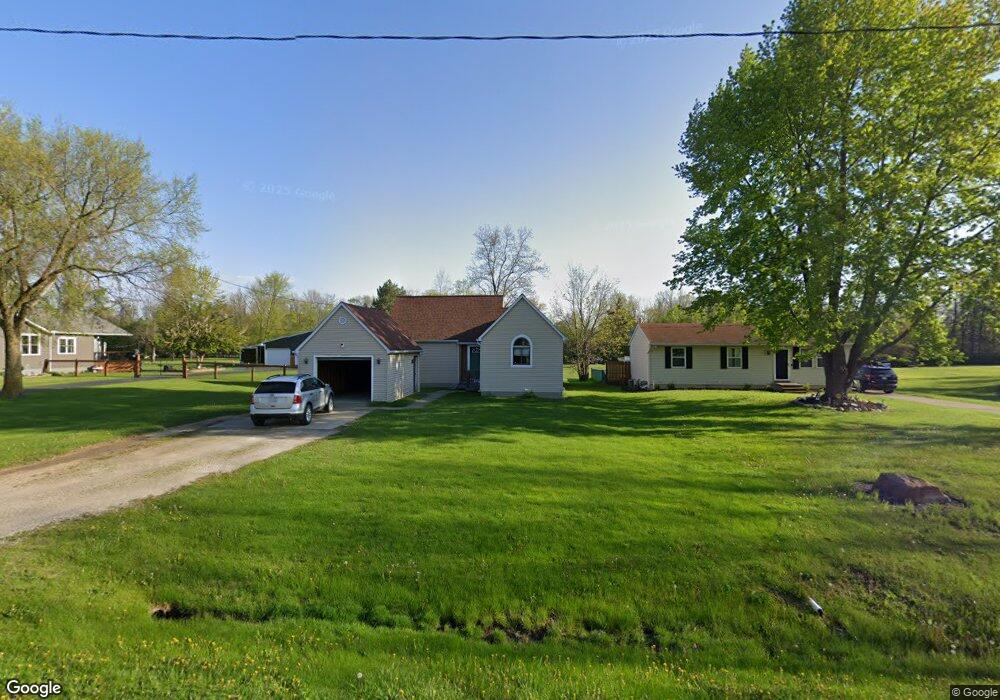
This home is located at 1091 Linus St, Flint, MI 48507 and is currently estimated at $164,937, approximately $180 per square foot. 1091 Linus St is a home located in Genesee County with nearby schools including Anderson Elementary School, McGrath Elementary School, and Grand Blanc West Middle School.
Ownership History
Date
Name
Owned For
Owner Type
Purchase Details
Closed on
Apr 30, 2009
Sold by
Sabo Robert and Sabo Sally
Bought by
Union Bank
Current Estimated Value
Purchase Details
Closed on
Dec 5, 2006
Sold by
Jackson Alphonso R
Bought by
Sabo Robert
Home Financials for this Owner
Home Financials are based on the most recent Mortgage that was taken out on this home.
Original Mortgage
$98,600
Interest Rate
6.24%
Mortgage Type
Construction
Purchase Details
Closed on
Apr 12, 2006
Sold by
1St Trust Bank For Savings
Bought by
Hud
Purchase Details
Closed on
Dec 7, 2005
Sold by
Hosner Brent
Bought by
1St Trust Bank For Savings
Purchase Details
Closed on
Sep 26, 2001
Sold by
Devoss Mark E and Devoss Emily S
Bought by
Hosner Brent L
Home Financials for this Owner
Home Financials are based on the most recent Mortgage that was taken out on this home.
Original Mortgage
$113,071
Interest Rate
6.99%
Mortgage Type
FHA
Create a Home Valuation Report for This Property
The Home Valuation Report is an in-depth analysis detailing your home's value as well as a comparison with similar homes in the area
Home Values in the Area
Average Home Value in this Area
Purchase History
| Date | Buyer | Sale Price | Title Company |
|---|---|---|---|
| Union Bank | $118,063 | None Available | |
| Sabo Robert | $80,000 | Nta | |
| Hud | -- | None Available | |
| 1St Trust Bank For Savings | $115,654 | None Available | |
| Hosner Brent L | $114,900 | -- |
Source: Public Records
Mortgage History
| Date | Status | Borrower | Loan Amount |
|---|---|---|---|
| Previous Owner | Sabo Robert | $98,600 | |
| Previous Owner | Hosner Brent L | $113,071 |
Source: Public Records
Tax History
| Year | Tax Paid | Tax Assessment Tax Assessment Total Assessment is a certain percentage of the fair market value that is determined by local assessors to be the total taxable value of land and additions on the property. | Land | Improvement |
|---|---|---|---|---|
| 2025 | $1,851 | $76,600 | $0 | $0 |
| 2024 | $1,019 | $74,000 | $0 | $0 |
| 2023 | $972 | $68,800 | $0 | $0 |
| 2022 | $1,768 | $65,400 | $0 | $0 |
| 2021 | $1,744 | $54,900 | $0 | $0 |
| 2020 | $897 | $51,800 | $0 | $0 |
| 2019 | $883 | $47,200 | $0 | $0 |
| 2018 | $1,747 | $41,600 | $0 | $0 |
| 2017 | $1,943 | $33,000 | $0 | $0 |
| 2016 | $2,055 | $36,100 | $0 | $0 |
| 2015 | $1,514 | $36,900 | $0 | $0 |
| 2012 | -- | $36,300 | $36,300 | $0 |
Source: Public Records
Map
Nearby Homes
- 0000 Coolidge Dr
- 00 Coolidge Dr
- 000 Coolidge Dr
- 00 Mckinley Blvd
- 000 Mckinley Blvd
- 0000 Mckinley Blvd
- 1063 Lincoln Dr
- 1142 Leisure Dr
- 1110 Washington Dr
- 0 Harding Dr Unit 20251056693
- 0 Jefferson Blvd
- 1226 Harding Dr
- 5146 Sandalwood Cir
- 5128 Sandalwood Cir Unit 20
- 5152 Sandalwood Cir
- 1256 W Rowland St
- 5160 Sandalwood Dr
- 1075 E Hill Rd
- 5308 Sandalwood Ct
- 4460 Bristolwood Dr
Your Personal Tour Guide
Ask me questions while you tour the home.