1091 S Branch Harrison, OH 45030
Estimated Value: $423,566 - $501,000
Studio
--
Bath
1,947
Sq Ft
$241/Sq Ft
Est. Value
About This Home
This home is located at 1091 S Branch, Harrison, OH 45030 and is currently estimated at $469,142, approximately $240 per square foot. 1091 S Branch is a home with nearby schools including William Henry Harrison High School and Summit Academy of Southwest Ohio.
Ownership History
Date
Name
Owned For
Owner Type
Purchase Details
Closed on
Jun 6, 2025
Sold by
Petrou Sandra K and Sager Bret L
Bought by
Pundt John Thomas and Pundt Suzanne M
Current Estimated Value
Home Financials for this Owner
Home Financials are based on the most recent Mortgage that was taken out on this home.
Original Mortgage
$436,050
Outstanding Balance
$434,920
Interest Rate
6.76%
Mortgage Type
New Conventional
Estimated Equity
$34,222
Purchase Details
Closed on
Nov 20, 2020
Sold by
Nvr Inc
Bought by
Petrou Sandra K and Sager Bret L
Purchase Details
Closed on
Aug 14, 2020
Sold by
Westhaven Development Llc
Bought by
Nvr Inc
Create a Home Valuation Report for This Property
The Home Valuation Report is an in-depth analysis detailing your home's value as well as a comparison with similar homes in the area
Home Values in the Area
Average Home Value in this Area
Purchase History
| Date | Buyer | Sale Price | Title Company |
|---|---|---|---|
| Pundt John Thomas | $459,000 | None Listed On Document | |
| Pundt John Thomas | $459,000 | None Listed On Document | |
| Petrou Sandra K | $328,965 | None Available | |
| Nvr Inc | $69,502 | None Available |
Source: Public Records
Mortgage History
| Date | Status | Borrower | Loan Amount |
|---|---|---|---|
| Open | Pundt John Thomas | $436,050 | |
| Closed | Pundt John Thomas | $436,050 |
Source: Public Records
Tax History
| Year | Tax Paid | Tax Assessment Tax Assessment Total Assessment is a certain percentage of the fair market value that is determined by local assessors to be the total taxable value of land and additions on the property. | Land | Improvement |
|---|---|---|---|---|
| 2025 | $5,640 | $118,406 | $19,296 | $99,110 |
| 2024 | $5,606 | $118,406 | $19,296 | $99,110 |
| 2023 | $5,662 | $118,406 | $19,296 | $99,110 |
| 2022 | $6,459 | $117,863 | $17,826 | $100,037 |
| 2021 | $6,236 | $17,826 | $17,826 | $0 |
| 2020 | $1,010 | $17,826 | $17,826 | $0 |
Source: Public Records
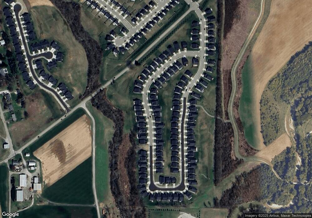
Map
Nearby Homes
- 1198 South Branch
- 8992 Camberley St
- 9452 Tebbs Ct
- 10390 Short Rd
- 210 Miami Trace
- 1608 Tunis Dr
- 10744 Edgewood Rd
- 9457 Morris Dr
- 9505 Morris Dr
- 120 Hickory Flats Dr
- GARRETT Plan at Trailhead - Trailhead Cascades
- FINNEGAN Plan at Trailhead - Trailhead Cascades
- CLARKSON Plan at Trailhead - Trailhead Cascades
- TRENT Plan at Trailhead - Trailhead Cascades
- Vale Plan at Trailhead - Trailhead Sequoia
- Ashton Plan at Trailhead - Trailhead Sequoia
- Quentin Plan at Trailhead - Trailhead Sequoia
- THORPE Plan at Trailhead - Trailhead Cascades
- Gentri Plan at Trailhead - Trailhead Acadia
- LUCIA Plan at Trailhead - Trailhead Acadia
Your Personal Tour Guide
Ask me questions while you tour the home.