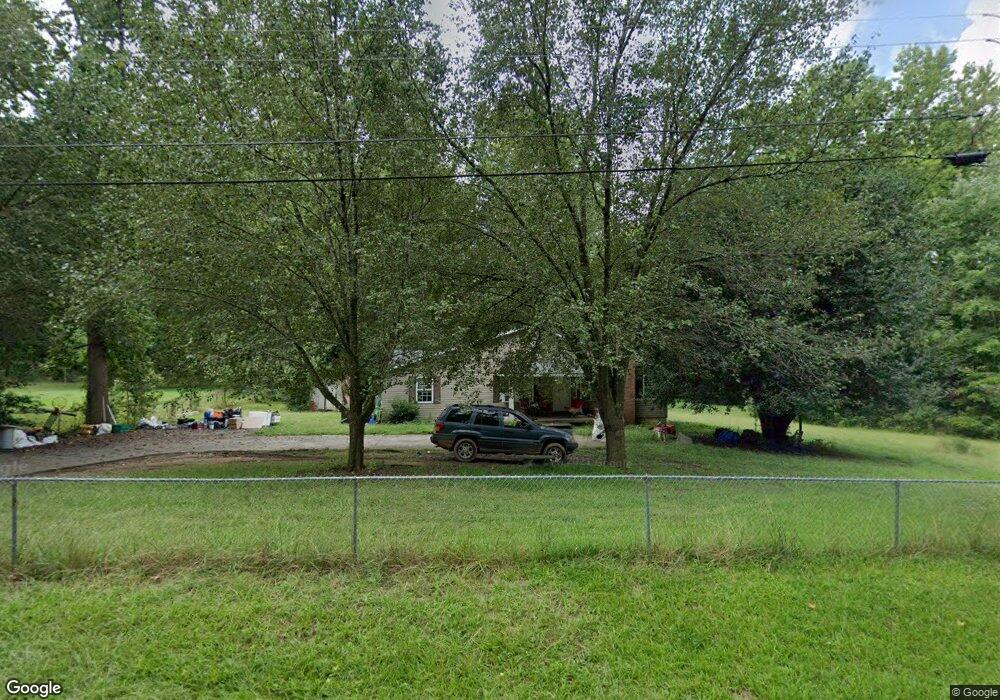
10912 Despa Dr Mint Hill, NC 28227
Estimated Value: $342,000 - $417,000
3
Beds
2
Baths
1,647
Sq Ft
$223/Sq Ft
Est. Value
About This Home
This home is located at 10912 Despa Dr, Mint Hill, NC 28227 and is currently estimated at $366,774, approximately $222 per square foot. 10912 Despa Dr is a home located in Mecklenburg County with nearby schools including Bain Elementary, Mint Hill Middle School, and Independence High.
Ownership History
Date
Name
Owned For
Owner Type
Purchase Details
Closed on
Jul 2, 2013
Sold by
Mendo Kevin
Bought by
Mendo Phyllis
Current Estimated Value
Purchase Details
Closed on
Jun 19, 2007
Sold by
Sovereign Bank
Bought by
Mendo Kevin
Purchase Details
Closed on
Jan 2, 2007
Sold by
Humphries Shirley Tompkins and Humphries Carl Richard
Bought by
Sovereign Bank
Create a Home Valuation Report for This Property
The Home Valuation Report is an in-depth analysis detailing your home's value as well as a comparison with similar homes in the area
Home Values in the Area
Average Home Value in this Area
Purchase History
| Date | Buyer | Sale Price | Title Company |
|---|---|---|---|
| Mendo Phyllis | -- | None Available | |
| Mendo Kevin | $70,000 | Master | |
| Sovereign Bank | $88,043 | None Available |
Source: Public Records
Tax History Compared to Growth
Tax History
| Year | Tax Paid | Tax Assessment Tax Assessment Total Assessment is a certain percentage of the fair market value that is determined by local assessors to be the total taxable value of land and additions on the property. | Land | Improvement |
|---|---|---|---|---|
| 2025 | $2,075 | $286,100 | $81,600 | $204,500 |
| 2024 | $2,075 | $286,100 | $81,600 | $204,500 |
| 2023 | $2,042 | $286,100 | $81,600 | $204,500 |
| 2022 | $1,734 | $194,300 | $56,800 | $137,500 |
| 2021 | $1,734 | $194,300 | $56,800 | $137,500 |
| 2020 | $1,734 | $194,300 | $56,800 | $137,500 |
| 2019 | $1,728 | $194,300 | $56,800 | $137,500 |
| 2018 | $1,596 | $143,500 | $47,300 | $96,200 |
| 2017 | $1,582 | $143,500 | $47,300 | $96,200 |
| 2016 | $1,578 | $143,500 | $47,300 | $96,200 |
| 2015 | $1,575 | $143,500 | $47,300 | $96,200 |
| 2014 | $1,627 | $148,500 | $47,300 | $101,200 |
Source: Public Records
Map
Nearby Homes
- 7445 Forrest Rader Dr
- 7230 Truelight Church Rd
- 10711 Reid Alexander Ln
- 15018 Camus Ct
- 7710 Grove Hall Ave
- 5331 Chicopee Dr
- 3215 Lisburn St
- 7914 Nelson Rd
- 6815 Cinnamon Cir Unit 6C
- 6918 Cinnamon Cir
- 5010 Kinsbridge Dr
- 5108 Kinsbridge Dr
- 7701 Matthews-Mint Hill Rd
- 4303 Patriots Hill Rd
- 4317 Wilgrove Mint Hill Rd
- 4309 Wilgrove Mint Hill Rd
- 10200 Atchinson Dr
- 13216 Lawyers Rd
- 9703 Ardley Park Way Unit 23
- 8524 Anette Ave
- 10926 Despa Dr
- 7236 Forrest Rader Dr
- 7244 Forrest Rader Dr
- 10930 Despa Dr
- 10905 Despa Dr
- 7226 Forrest Rader Dr
- 7226 Forrest Rader Dr Unit 59
- 10917 Despa Dr
- 10931 Despa Dr
- 10925 Despa Dr
- 7216 Forrest Rader Dr
- 7302 Forrest Rader Dr
- 7245 Forrest Rader Dr
- 10933 Despa Dr
- 10942 Despa Dr
- 7235 Forrest Rader Dr
- 7307 Forrest Rader Dr
- 10941 Despa Dr
- 7223 Forrest Rader Dr
- 10950 Despa Dr