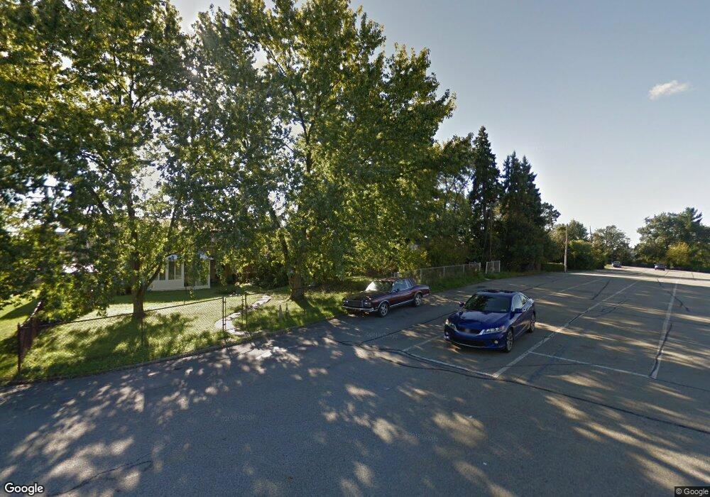
10913 Frankstown Rd Pittsburgh, PA 15235
Penn Hills Township NeighborhoodEstimated Value: $184,000 - $208,000
4
Beds
2
Baths
1,890
Sq Ft
$103/Sq Ft
Est. Value
About This Home
This home is located at 10913 Frankstown Rd, Pittsburgh, PA 15235 and is currently estimated at $194,841, approximately $103 per square foot. 10913 Frankstown Rd is a home located in Allegheny County with nearby schools including Penn Hills Elementary School, Linton Middle School, and Penn Hills Senior High School.
Ownership History
Date
Name
Owned For
Owner Type
Purchase Details
Closed on
Sep 5, 2003
Sold by
Haines Mary Rita
Bought by
Brown Angela M
Current Estimated Value
Home Financials for this Owner
Home Financials are based on the most recent Mortgage that was taken out on this home.
Original Mortgage
$79,000
Outstanding Balance
$36,093
Interest Rate
6.02%
Mortgage Type
FHA
Estimated Equity
$158,748
Create a Home Valuation Report for This Property
The Home Valuation Report is an in-depth analysis detailing your home's value as well as a comparison with similar homes in the area
Home Values in the Area
Average Home Value in this Area
Purchase History
| Date | Buyer | Sale Price | Title Company |
|---|---|---|---|
| Brown Angela M | $80,000 | -- |
Source: Public Records
Mortgage History
| Date | Status | Borrower | Loan Amount |
|---|---|---|---|
| Open | Brown Angela M | $79,000 |
Source: Public Records
Tax History Compared to Growth
Tax History
| Year | Tax Paid | Tax Assessment Tax Assessment Total Assessment is a certain percentage of the fair market value that is determined by local assessors to be the total taxable value of land and additions on the property. | Land | Improvement |
|---|---|---|---|---|
| 2025 | $2,456 | $58,800 | $12,300 | $46,500 |
| 2024 | $2,456 | $58,800 | $12,300 | $46,500 |
| 2023 | $2,456 | $58,800 | $12,300 | $46,500 |
| 2022 | $2,427 | $58,800 | $12,300 | $46,500 |
| 2021 | $2,883 | $58,800 | $12,300 | $46,500 |
| 2020 | $2,343 | $58,800 | $12,300 | $46,500 |
| 2019 | $2,343 | $58,800 | $12,300 | $46,500 |
| 2018 | $278 | $58,800 | $12,300 | $46,500 |
| 2017 | $2,145 | $58,800 | $12,300 | $46,500 |
| 2016 | $278 | $58,800 | $12,300 | $46,500 |
| 2015 | $278 | $58,800 | $12,300 | $46,500 |
| 2014 | $2,018 | $58,800 | $12,300 | $46,500 |
Source: Public Records
Map
Nearby Homes
- 204 Bart Dr
- 232 Highland Rd
- 11223 Frankstown Rd
- 307 Dorothy Dr
- 0 Park Dr Unit 1699468
- 102 Long Rd
- 11297 Highpoint Dr
- 11505 Clematis Blvd
- 11522 Clematis Blvd
- 440 Lee Dr
- 130 Elizabeth Dr
- 11400 Azalea Dr
- 10207 Frankstown Rd
- 418 Pennwood Dr
- 505 Veronica Dr
- 10214 Frankstown Rd
- 11344 Althea Dr
- 11717 Joan Dr
- 25 Duff Rd
- 131 Castle Dr
- 10911 Frankstown Rd
- 10915 Frankstown Rd
- 10909 Frankstown Rd
- 10917 Frankstown Rd
- 10907 Frankstown Rd
- 10905 Frankstown Rd
- 10903 Frankstown Rd
- 112 Vance Dr
- 10901 Frankstown Rd
- 108 Vance Dr
- 112 Vance St
- 116 Vance Dr
- 120 Vance Dr
- 124 Vance Dr
- 124 Vance St
- 10900 Frankstown Rd
- 10908 Frankstown Rd
- 109 Vance St
- 122 Erhardt Dr
- 117 Vance St