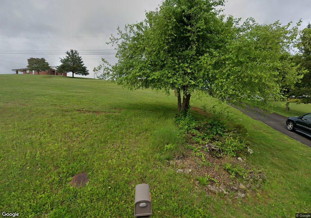
1092 Dover Rd Morristown, TN 37813
Estimated Value: $348,433 - $432,000
3
Beds
2
Baths
1,522
Sq Ft
$251/Sq Ft
Est. Value
About This Home
This home is located at 1092 Dover Rd, Morristown, TN 37813 and is currently estimated at $381,858, approximately $250 per square foot. 1092 Dover Rd is a home located in Hamblen County with nearby schools including Union Heights Elementary School, East Ridge Middle School, and Morristown East High School.
Ownership History
Date
Name
Owned For
Owner Type
Purchase Details
Closed on
Jul 24, 2015
Sold by
Winstead Vicki
Bought by
Kilroy Thomas Leslie and Kilroy Rosalind Mary
Current Estimated Value
Purchase Details
Closed on
Oct 22, 2013
Sold by
Winstead Jody L
Bought by
Kilroy Rosalind Mary and Kilroy Thomas Leslie
Home Financials for this Owner
Home Financials are based on the most recent Mortgage that was taken out on this home.
Original Mortgage
$90,000
Interest Rate
4.33%
Mortgage Type
Commercial
Purchase Details
Closed on
Jun 26, 1999
Bought by
Winstead Jody L and Winstead Angela D
Purchase Details
Closed on
Sep 6, 1996
Bought by
West James H and West Margaret R
Purchase Details
Closed on
Mar 30, 1995
Bought by
Collins Quinton and Collins Wolfe E
Purchase Details
Closed on
Apr 16, 1991
Bought by
Trent Ruby M
Purchase Details
Closed on
Dec 4, 1987
Bought by
Danison Helen Marie
Purchase Details
Closed on
May 24, 1985
Bought by
Danison Kenneth W and Danison Helen M
Purchase Details
Closed on
Jul 8, 1976
Bought by
Mccoy George and Mccoy Franell
Create a Home Valuation Report for This Property
The Home Valuation Report is an in-depth analysis detailing your home's value as well as a comparison with similar homes in the area
Home Values in the Area
Average Home Value in this Area
Purchase History
| Date | Buyer | Sale Price | Title Company |
|---|---|---|---|
| Kilroy Thomas Leslie | $17,000 | -- | |
| Kilroy Rosalind Mary | $144,900 | -- | |
| Winstead Jody L | $10,000 | -- | |
| West James H | $120,600 | -- | |
| Collins Quinton | $83,700 | -- | |
| Trent Ruby M | $75,900 | -- | |
| Danison Helen Marie | -- | -- | |
| Danison Kenneth W | -- | -- | |
| Mccoy George | -- | -- |
Source: Public Records
Mortgage History
| Date | Status | Borrower | Loan Amount |
|---|---|---|---|
| Previous Owner | Kilroy Rosalind Mary | $90,000 |
Source: Public Records
Tax History Compared to Growth
Tax History
| Year | Tax Paid | Tax Assessment Tax Assessment Total Assessment is a certain percentage of the fair market value that is determined by local assessors to be the total taxable value of land and additions on the property. | Land | Improvement |
|---|---|---|---|---|
| 2024 | $789 | $40,075 | $5,650 | $34,425 |
| 2023 | $789 | $40,075 | $0 | $0 |
| 2022 | $789 | $40,075 | $5,650 | $34,425 |
| 2021 | $789 | $40,075 | $5,650 | $34,425 |
| 2020 | $789 | $40,075 | $5,650 | $34,425 |
| 2019 | $809 | $38,000 | $5,650 | $32,350 |
| 2018 | $809 | $38,000 | $5,650 | $32,350 |
| 2017 | $809 | $38,000 | $5,650 | $32,350 |
| 2016 | $756 | $38,000 | $5,650 | $32,350 |
| 2015 | $703 | $38,000 | $5,650 | $32,350 |
| 2014 | -- | $35,975 | $3,625 | $32,350 |
| 2013 | -- | $36,475 | $0 | $0 |
Source: Public Records
Map
Nearby Homes
- 1148 George Byrd Rd
- 4510 Westover Place
- 4581 Lockley Ct
- 1496 Dover Rd
- 4705 E Hampton Blvd
- 4270 Brockland Dr
- 1342 Slop Creek Rd
- 4458 Brockland Dr
- 1744 Carroll Rd
- 1689 Carroll Rd
- 4271 Stansberry Rd
- 670 Jones Franklin Rd
- 358 Dover Rd
- 3661 Halifax Cir
- 2137 Highview Dr
- 288 Fuller Estate Cir
- 4907 Barton Springs Dr
- 00 Shinbone E Sugar Hollow Rd
- Tract 3 Shinbone Rd
- Tract 4 Shinbone Rd
- 1096 Dover Rd
- 1090 Dover Rd
- 275 Dover Rd
- 5 Dover Rd
- 4 Dover Rd
- 3 Dover Rd
- 1111 Dover Rd
- 1136 Dover Rd
- 1160 George Byrd Rd
- 1183 George Byrd Rd
- 1154 George Byrd Rd
- 4074/4080 Eagle's Nest Dr
- 4092 Eagles Nest Dr
- 4088 Eagles Nest Dr
- 1081 Dover Rd
- 4080 Eagles Nest Dr
- 1051 Dover Rd
- 1169 George Byrd Rd
- 4074 Eagles Nest Dr
- 1163 Dover Rd
