Estimated Value: $174,000 - $210,000
3
Beds
1
Bath
1,194
Sq Ft
$161/Sq Ft
Est. Value
About This Home
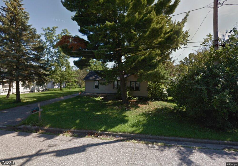
This home is located at 1092 E Rowland St, Flint, MI 48507 and is currently estimated at $192,282, approximately $161 per square foot. 1092 E Rowland St is a home located in Genesee County with nearby schools including Anderson Elementary School, McGrath Elementary School, and Grand Blanc West Middle School.
Ownership History
Date
Name
Owned For
Owner Type
Purchase Details
Closed on
Nov 13, 2020
Sold by
Arnes Daniel
Bought by
Balyeat Matthew B
Current Estimated Value
Home Financials for this Owner
Home Financials are based on the most recent Mortgage that was taken out on this home.
Original Mortgage
$109,250
Outstanding Balance
$97,041
Interest Rate
2.7%
Mortgage Type
New Conventional
Estimated Equity
$95,241
Purchase Details
Closed on
Feb 27, 2009
Sold by
Amerihome Mortgage Corporation
Bought by
Federal National Mortgage Association
Purchase Details
Closed on
Jul 16, 2008
Sold by
Griffin Kimberly L and Griffin Danny J
Bought by
Amerihome Mortgage Corp
Create a Home Valuation Report for This Property
The Home Valuation Report is an in-depth analysis detailing your home's value as well as a comparison with similar homes in the area
Home Values in the Area
Average Home Value in this Area
Purchase History
| Date | Buyer | Sale Price | Title Company |
|---|---|---|---|
| Balyeat Matthew B | $115,000 | Mason Burgess Title Agency | |
| Federal National Mortgage Association | -- | Warranty Title Agency Llc | |
| Amerihome Mortgage Corp | $88,356 | None Available |
Source: Public Records
Mortgage History
| Date | Status | Borrower | Loan Amount |
|---|---|---|---|
| Open | Balyeat Matthew B | $109,250 |
Source: Public Records
Tax History
| Year | Tax Paid | Tax Assessment Tax Assessment Total Assessment is a certain percentage of the fair market value that is determined by local assessors to be the total taxable value of land and additions on the property. | Land | Improvement |
|---|---|---|---|---|
| 2025 | $2,713 | $107,900 | $0 | $0 |
| 2024 | $1,558 | $102,000 | $0 | $0 |
| 2023 | $1,487 | $59,500 | $0 | $0 |
| 2022 | $2,449 | $56,300 | $0 | $0 |
| 2021 | $2,943 | $68,200 | $0 | $0 |
| 2020 | $1,104 | $58,900 | $0 | $0 |
| 2019 | $1,088 | $47,700 | $0 | $0 |
| 2018 | $1,798 | $41,500 | $0 | $0 |
| 2017 | $1,770 | $42,200 | $0 | $0 |
| 2016 | $1,492 | $35,700 | $0 | $0 |
| 2015 | $1,397 | $34,200 | $0 | $0 |
| 2012 | -- | $37,400 | $37,400 | $0 |
Source: Public Records
Map
Nearby Homes
- 0000 Coolidge Dr
- 00 Coolidge Dr
- 000 Coolidge Dr
- 00 Mckinley Blvd
- 000 Mckinley Blvd
- 0000 Mckinley Blvd
- 1063 Lincoln Dr
- 1142 Leisure Dr
- 5146 Sandalwood Cir
- 1110 Washington Dr
- 0 Harding Dr Unit 20251056693
- 5152 Sandalwood Cir
- 0 Jefferson Blvd
- 5160 Sandalwood Dr
- 5007 Sandalwood Dr
- 1226 Harding Dr
- 5023 Sandalwood Dr
- 1256 W Rowland St
- 4460 Bristolwood Dr
- 1376 Ready Ave
- 1102 E Rowland St
- 1082 E Rowland St
- 1112 E Rowland St
- 1078 E Rowland St
- 1118 E Rowland St
- 1066 E Rowland St
- 1058 E Rowland St
- 0 E Rowland St Unit 4913725
- 1101 E Rowland St
- 1093 E Rowland St
- 1105 E Rowland St
- 1109 E Rowland St
- 1042 E Rowland St
- 1075 E Rowland St
- 1119 E Rowland St
- 1067 E Rowland St
- 1055 E Rowland St
- 1091 Linus St
- 1099 Linus St
- 1081 Linus St
Your Personal Tour Guide
Ask me questions while you tour the home.