10927 Mayfield Rd Chardon, OH 44024
Estimated Value: $646,000 - $972,822
4
Beds
4
Baths
4,608
Sq Ft
$172/Sq Ft
Est. Value
About This Home
This home is located at 10927 Mayfield Rd, Chardon, OH 44024 and is currently estimated at $792,607, approximately $172 per square foot. 10927 Mayfield Rd is a home located in Geauga County with nearby schools including Chardon High School and Notre Dame Elementary School.
Ownership History
Date
Name
Owned For
Owner Type
Purchase Details
Closed on
Nov 28, 2000
Sold by
Samide Mary E
Bought by
Samide Frank and Samide Mary
Current Estimated Value
Purchase Details
Closed on
Oct 22, 1990
Bought by
Samide Mary E
Create a Home Valuation Report for This Property
The Home Valuation Report is an in-depth analysis detailing your home's value as well as a comparison with similar homes in the area
Purchase History
| Date | Buyer | Sale Price | Title Company |
|---|---|---|---|
| Samide Frank | -- | -- | |
| Samide Mary E | $170,000 | -- |
Source: Public Records
Tax History
| Year | Tax Paid | Tax Assessment Tax Assessment Total Assessment is a certain percentage of the fair market value that is determined by local assessors to be the total taxable value of land and additions on the property. | Land | Improvement |
|---|---|---|---|---|
| 2024 | $10,763 | $242,180 | $83,170 | $159,010 |
| 2023 | $10,766 | $216,060 | $57,050 | $159,010 |
| 2022 | $9,873 | $170,170 | $47,390 | $122,780 |
| 2021 | $9,828 | $170,170 | $47,390 | $122,780 |
| 2020 | $9,902 | $170,170 | $47,390 | $122,780 |
| 2019 | $9,046 | $153,230 | $47,390 | $105,840 |
| 2018 | $4,823 | $153,230 | $47,390 | $105,840 |
| 2017 | $9,046 | $153,230 | $47,390 | $105,840 |
| 2016 | $8,488 | $140,250 | $45,010 | $95,240 |
| 2015 | $7,967 | $139,620 | $45,010 | $94,610 |
| 2014 | $7,967 | $139,620 | $45,010 | $94,610 |
| 2013 | $8,019 | $139,620 | $45,010 | $94,610 |
Source: Public Records
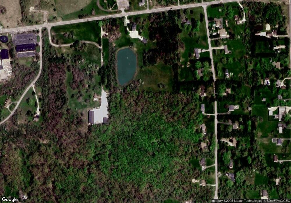
Map
Nearby Homes
- 11028 Mayfield Rd
- 12195 Arborwood Way
- 12005 Auburn Rd
- 10263 Wye Rd
- 11295 Sutton Place
- 11680 Blue Heron Trail
- 0 Auburn Rd Unit 5176322
- 10076 Sherman Rd
- 13410 Auburn Rd
- 0 Fowlers Mill Rd Unit 5192241
- 11785 Stonegate Dr
- 11469 Fowlers Mill Rd
- 11180 Whitewood Dr
- 10036 Wilson Mills Rd
- 0 Waterfowl Ln Unit 5159838
- 9630 Sherman Rd
- 11710 Butternut Rd
- 11425 Clearfield Ln
- 9448 Mayfield Rd
- 11355 Beechnut Ln
- 10970 Mayfield Rd
- 10891 Mayfield Rd
- 10983 Mayfield Rd
- 10980 Mayfield Rd
- 12572 Klatka Dr
- 10 Klatka Dr
- 10 V/L Klatka Dr
- 10990 Mayfield Rd
- 12596 Klatka Dr
- 11009 Mayfield Rd
- 12614 Klatka Dr
- 10880 Mayfield Rd
- 12575 Klatka Dr
- 11018 Mayfield Rd
- 12595 Klatka Dr
- 12632 Klatka Dr
- 11031 Mayfield Rd
- 12648 Klatka Dr
- 11040 Mayfield Rd
- 12615 Klatka Dr
Your Personal Tour Guide
Ask me questions while you tour the home.