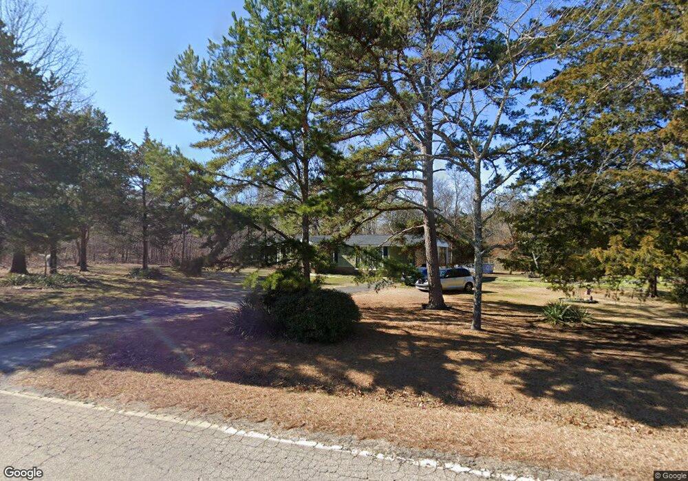
1093 Beersheba Rd N Clover, SC 29710
Estimated Value: $127,000 - $318,000
--
Bed
--
Bath
1,152
Sq Ft
$189/Sq Ft
Est. Value
About This Home
This home is located at 1093 Beersheba Rd N, Clover, SC 29710 and is currently estimated at $217,281, approximately $188 per square foot. 1093 Beersheba Rd N is a home located in York County with nearby schools including Cotton Belt Elementary School, York Intermediate School, and York Middle School.
Ownership History
Date
Name
Owned For
Owner Type
Purchase Details
Closed on
Nov 22, 2017
Sold by
Rock Ridge Properties Llc
Bought by
Benton Sylvia
Current Estimated Value
Home Financials for this Owner
Home Financials are based on the most recent Mortgage that was taken out on this home.
Original Mortgage
$65,000
Outstanding Balance
$54,424
Interest Rate
3.91%
Mortgage Type
New Conventional
Estimated Equity
$162,857
Purchase Details
Closed on
May 22, 2006
Sold by
Mccaw Ida R
Bought by
Rockridge Properties Llc
Create a Home Valuation Report for This Property
The Home Valuation Report is an in-depth analysis detailing your home's value as well as a comparison with similar homes in the area
Home Values in the Area
Average Home Value in this Area
Purchase History
| Date | Buyer | Sale Price | Title Company |
|---|---|---|---|
| Benton Sylvia | $65,000 | None Available | |
| Rockridge Properties Llc | $40,000 | None Available |
Source: Public Records
Mortgage History
| Date | Status | Borrower | Loan Amount |
|---|---|---|---|
| Open | Benton Sylvia | $65,000 |
Source: Public Records
Tax History Compared to Growth
Tax History
| Year | Tax Paid | Tax Assessment Tax Assessment Total Assessment is a certain percentage of the fair market value that is determined by local assessors to be the total taxable value of land and additions on the property. | Land | Improvement |
|---|---|---|---|---|
| 2025 | $56 | $2,323 | $1,724 | $599 |
| 2024 | $3 | $2,020 | $1,360 | $660 |
| 2023 | $3 | $2,020 | $1,360 | $660 |
| 2022 | $3 | $2,020 | $1,360 | $660 |
| 2021 | -- | $2,020 | $1,360 | $660 |
| 2020 | $3 | $2,020 | $0 | $0 |
| 2019 | $75 | $2,420 | $0 | $0 |
| 2018 | $72 | $2,420 | $0 | $0 |
| 2017 | $860 | $2,250 | $0 | $0 |
| 2016 | $844 | $2,250 | $0 | $0 |
| 2014 | $806 | $2,250 | $1,440 | $810 |
| 2013 | $806 | $2,340 | $1,440 | $900 |
Source: Public Records
Map
Nearby Homes
- 1895 Templeton Rd
- 1432 Blackbird Dr
- 1427 Blackbird Dr
- 512 N Beersheba Rd
- 1845 State Road S-46-149
- Crossland Road Unit: 2
- 1221 Woodpecker Dr
- 1014 Willow Grove Ln
- 1698 Highway 161 S
- TBD Crossland Rd Unit 2
- 1565 Autumn Ln Unit 132
- 1532 Autumn Ln Unit 120
- 2180 Lawrence Rd
- 1975 Kehl Rd
- 206 Covey Ct
- 2944 Ranger Rd
- 0000 Black Hwy
- 8.128 Acres Ranger Rd
- 1258 Willow Grove Ln Unit 101
- 3070 Meadowcrest Dr Unit 68
- 1060 Beersheba Rd N
- 285 Thomas Williams Rd
- 1044 Beersheba Rd N
- 1097 Beersheba Rd N
- 1116 Beersheba Rd N
- 1111 Beersheba Rd N
- 1111 N Beersheba Rd
- 1152 Beersheba Rd N
- 1094 Beersheba Rd N
- 712 Robinson Farm Rd
- 958 Willis Farm Rd
- 2380 Templeton Rd
- 871 N Beersheba Rd
- 972 Willis Farm Rd
- 2474 Eagle Point Rd
- 950 Willis Farm Rd
- 996 Willis Farm Rd
- 2267 Boheler Rd
- 2488 Eagle Point Rd
- 2550 Eagle Point Rd