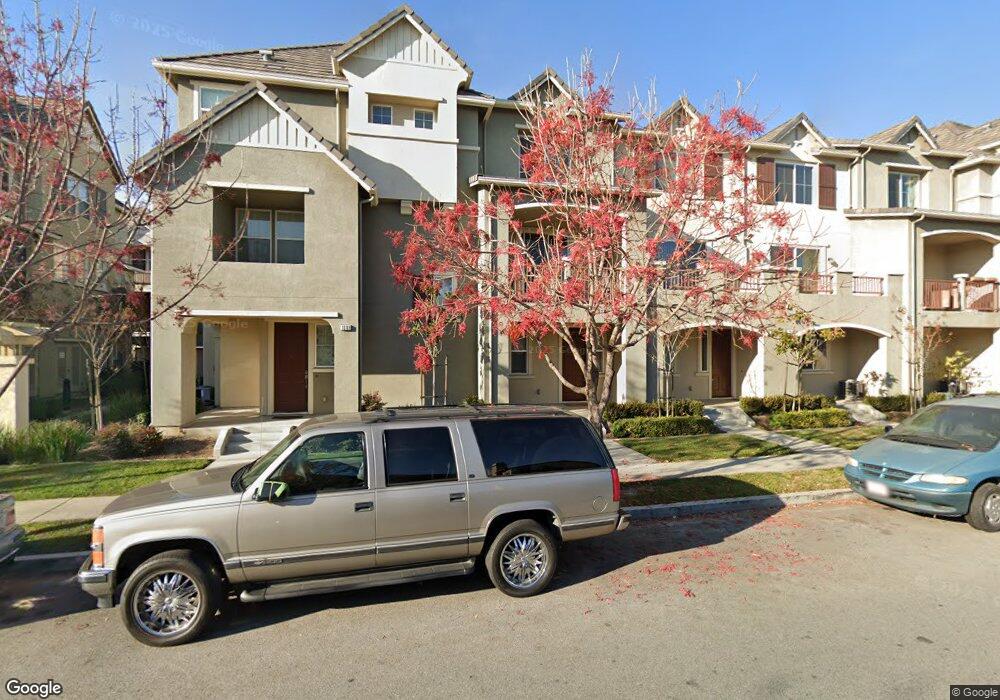
1093 Rock Ave Unit 31 San Jose, CA 95131
Estimated Value: $1,042,545 - $1,195,000
3
Beds
3
Baths
1,249
Sq Ft
$894/Sq Ft
Est. Value
About This Home
This home is located at 1093 Rock Ave Unit 31, San Jose, CA 95131 and is currently estimated at $1,116,386, approximately $893 per square foot. 1093 Rock Ave Unit 31 is a home located in Santa Clara County with nearby schools including Orchard Elementary School, Independence High School, and Stratford School - Milpitas.
Ownership History
Date
Name
Owned For
Owner Type
Purchase Details
Closed on
Jun 21, 2011
Sold by
Taylor Morrison Of California Llc
Bought by
Shah Amar R and Mody Anuja A
Current Estimated Value
Home Financials for this Owner
Home Financials are based on the most recent Mortgage that was taken out on this home.
Original Mortgage
$378,865
Outstanding Balance
$260,322
Interest Rate
4.56%
Mortgage Type
New Conventional
Estimated Equity
$856,064
Create a Home Valuation Report for This Property
The Home Valuation Report is an in-depth analysis detailing your home's value as well as a comparison with similar homes in the area
Home Values in the Area
Average Home Value in this Area
Purchase History
| Date | Buyer | Sale Price | Title Company |
|---|---|---|---|
| Shah Amar R | $492,000 | First American Title Company |
Source: Public Records
Mortgage History
| Date | Status | Borrower | Loan Amount |
|---|---|---|---|
| Open | Shah Amar R | $378,865 |
Source: Public Records
Tax History Compared to Growth
Tax History
| Year | Tax Paid | Tax Assessment Tax Assessment Total Assessment is a certain percentage of the fair market value that is determined by local assessors to be the total taxable value of land and additions on the property. | Land | Improvement |
|---|---|---|---|---|
| 2025 | $8,750 | $630,153 | $315,078 | $315,075 |
| 2024 | $8,750 | $617,798 | $308,900 | $308,898 |
| 2023 | $8,553 | $605,686 | $302,844 | $302,842 |
| 2022 | $8,496 | $593,810 | $296,906 | $296,904 |
| 2021 | $8,332 | $582,168 | $291,085 | $291,083 |
| 2020 | $8,091 | $576,200 | $288,101 | $288,099 |
| 2019 | $7,921 | $564,902 | $282,452 | $282,450 |
| 2018 | $7,822 | $553,826 | $276,914 | $276,912 |
| 2017 | $7,699 | $542,968 | $271,485 | $271,483 |
| 2016 | $7,284 | $532,322 | $266,162 | $266,160 |
| 2015 | $7,233 | $524,327 | $262,164 | $262,163 |
| 2014 | $6,625 | $514,057 | $257,029 | $257,028 |
Source: Public Records
Map
Nearby Homes
- 1070 Bramblewood Ln
- 2151 Oakland Rd Unit 523
- 2151 Oakland Rd Unit 308
- 2151 Oakland Rd Unit 231
- 2151 Oakland Rd Unit 14
- 2151 Oakland Rd Unit 443
- 2151 Oakland Rd Unit 559
- 2151 Oakland Rd Unit 210
- 2151 Oakland Rd Unit 297
- 2151 Oakland Rd Unit 189
- 1895 Sheri Ann Cir
- 1287 Marcello Dr
- 1437 Marcello Dr
- 1788 Camino Leonor
- 27 S Main St
- 1958 Trento Loop
- 1932 Trento Loop
- 1777 Hazelnut Ln
- 314 Morning Star Dr Unit 38
- 324 Morning Star Dr Unit 43
- 1089 Rock Ave
- 1097 Rock Ave
- 1085 Rock Ave Unit 33
- 1085 Rock Ave
- 1101 Rock Ave Unit 29
- 1109 Rock Ave Unit 27
- 1081 Rock Ave Unit 34
- 1095 Westbury Dr Unit 93
- 1113 Rock Ave Unit 26
- 1099 Westbury Dr Unit 92
- 1091 Westbury Dr
- 1077 Rock Ave Unit 35
- 1103 Westbury Dr Unit 91
- 1083 Westbury Dr Unit 96
- 1087 Westbury Dr Unit 95
- 1107 Westbury Dr Unit 90
- 1073 Rock Ave Unit 36
- 1079 Westbury Dr
- 1111 Westbury Dr Unit 89
- 1069 Rock Ave Unit 37