1093 S Coats Rd Unit Bldg-Unit Oxford, MI 48371
Estimated Value: $650,000 - $869,000
2
Beds
4
Baths
2,899
Sq Ft
$252/Sq Ft
Est. Value
About This Home
This home is located at 1093 S Coats Rd Unit Bldg-Unit, Oxford, MI 48371 and is currently estimated at $731,240, approximately $252 per square foot. 1093 S Coats Rd Unit Bldg-Unit is a home located in Oakland County with nearby schools including Clear Lake Elementary School, Oxford Middle School, and Oxford High School.
Ownership History
Date
Name
Owned For
Owner Type
Purchase Details
Closed on
Mar 23, 2018
Sold by
Peck Donald J and Baer Deborah J
Bought by
Rusch Kevin and Rusch Michelle
Current Estimated Value
Home Financials for this Owner
Home Financials are based on the most recent Mortgage that was taken out on this home.
Original Mortgage
$425,000
Outstanding Balance
$364,191
Interest Rate
4.38%
Mortgage Type
New Conventional
Estimated Equity
$367,049
Create a Home Valuation Report for This Property
The Home Valuation Report is an in-depth analysis detailing your home's value as well as a comparison with similar homes in the area
Home Values in the Area
Average Home Value in this Area
Purchase History
| Date | Buyer | Sale Price | Title Company |
|---|---|---|---|
| Rusch Kevin | $500,000 | First American Title |
Source: Public Records
Mortgage History
| Date | Status | Borrower | Loan Amount |
|---|---|---|---|
| Open | Rusch Kevin | $425,000 |
Source: Public Records
Tax History Compared to Growth
Tax History
| Year | Tax Paid | Tax Assessment Tax Assessment Total Assessment is a certain percentage of the fair market value that is determined by local assessors to be the total taxable value of land and additions on the property. | Land | Improvement |
|---|---|---|---|---|
| 2024 | $6,560 | $321,790 | $0 | $0 |
| 2023 | $6,256 | $297,390 | $0 | $0 |
| 2022 | $9,701 | $272,090 | $0 | $0 |
| 2021 | $9,273 | $258,670 | $0 | $0 |
| 2020 | $5,910 | $252,570 | $0 | $0 |
| 2019 | $9,593 | $274,180 | $0 | $0 |
| 2018 | $5,696 | $242,470 | $0 | $0 |
| 2017 | $5,435 | $231,120 | $0 | $0 |
| 2016 | $5,423 | $215,280 | $0 | $0 |
| 2015 | -- | $203,320 | $0 | $0 |
| 2014 | -- | $191,780 | $0 | $0 |
| 2011 | -- | $165,800 | $0 | $0 |
Source: Public Records
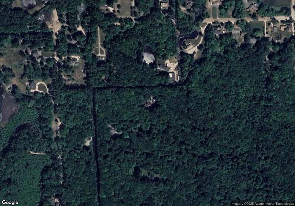
Map
Nearby Homes
- 2060 W Drahner Rd
- 1847 High Pointe Dr
- 967 Keith St
- 774 Keith St
- 1974 Sandy Shores Dr
- 1611 Harwood Dr
- 1904 Sandy Shores Dr
- 1858 Sandy Shores Dr
- 400 Coats Rd
- 1 Pinery Ct
- 00 Coats Rd
- 1612 Royal Birkdale Dr Unit 77
- 1628 Royal Birkdale Dr Unit 76
- 815 Pinery Blvd
- 767 Pinery Blvd
- 1910 Royal Birkdale Dr
- 1667 Royal Birkdale Dr
- 2931 Seymour Lake Rd Unit 2
- 2921 Seymour Lake Rd
- 1531 Seymour Lake Rd
- 1093 S Coats Rd
- 2855 W Drahner Rd
- 2711 W Drahner Rd
- 1201 S Coats Rd
- 2945 W Drahner Rd
- 2965 W Drahner Rd
- 1047 S Coats Rd
- 2730 W Drahner Rd
- 2623 W Drahner Rd
- 2593 W Drahner Rd
- 1431 S Coats Rd
- 2700 W Drahner Rd
- 2575 W Drahner Rd
- 2800 W Drahner Rd
- 2650 W Drahner Rd
- 2537 W Drahner Rd
- 1200 S Coats Rd
- 2570 W Drahner Rd
- 2525 W Drahner Rd
- 2900 W Drahner Rd