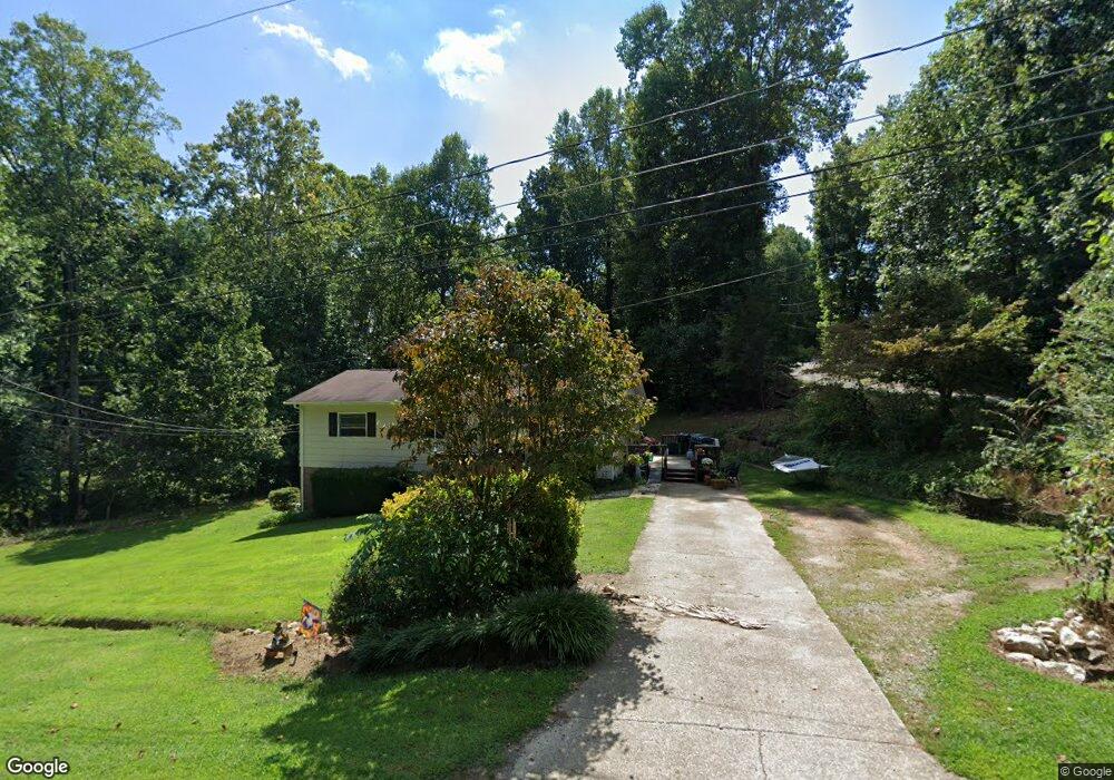
1093 W Poplar St Conover, NC 28613
Estimated Value: $215,000 - $237,000
3
Beds
1
Bath
1,092
Sq Ft
$207/Sq Ft
Est. Value
About This Home
This home is located at 1093 W Poplar St, Conover, NC 28613 and is currently estimated at $225,824, approximately $206 per square foot. 1093 W Poplar St is a home located in Catawba County with nearby schools including Lyle Creek Elementary School, River Bend Middle School, and Bunker Hill High School.
Ownership History
Date
Name
Owned For
Owner Type
Purchase Details
Closed on
Apr 1, 2005
Sold by
Shook Tami J and Shook Paul T
Bought by
Shook Paul T and Shook Tami J
Current Estimated Value
Home Financials for this Owner
Home Financials are based on the most recent Mortgage that was taken out on this home.
Original Mortgage
$77,000
Interest Rate
5.57%
Mortgage Type
Fannie Mae Freddie Mac
Purchase Details
Closed on
Apr 1, 1994
Bought by
Burch Tami J
Create a Home Valuation Report for This Property
The Home Valuation Report is an in-depth analysis detailing your home's value as well as a comparison with similar homes in the area
Home Values in the Area
Average Home Value in this Area
Purchase History
| Date | Buyer | Sale Price | Title Company |
|---|---|---|---|
| Shook Paul T | -- | None Available | |
| Burch Tami J | $53,700 | -- |
Source: Public Records
Mortgage History
| Date | Status | Borrower | Loan Amount |
|---|---|---|---|
| Closed | Shook Paul T | $77,000 |
Source: Public Records
Tax History Compared to Growth
Tax History
| Year | Tax Paid | Tax Assessment Tax Assessment Total Assessment is a certain percentage of the fair market value that is determined by local assessors to be the total taxable value of land and additions on the property. | Land | Improvement |
|---|---|---|---|---|
| 2025 | $935 | $179,000 | $18,500 | $160,500 |
| 2024 | $935 | $179,000 | $18,500 | $160,500 |
| 2023 | $899 | $109,500 | $15,700 | $93,800 |
| 2022 | $761 | $109,500 | $15,700 | $93,800 |
| 2021 | $761 | $109,500 | $15,700 | $93,800 |
| 2020 | $761 | $109,500 | $15,700 | $93,800 |
| 2019 | $761 | $109,500 | $0 | $0 |
| 2018 | $659 | $94,800 | $15,200 | $79,600 |
| 2017 | $659 | $0 | $0 | $0 |
| 2016 | $659 | $0 | $0 | $0 |
| 2015 | $604 | $94,800 | $15,200 | $79,600 |
| 2014 | $604 | $100,600 | $15,200 | $85,400 |
Source: Public Records
Map
Nearby Homes
- 4874 Stone Dr Unit 125
- 4858 Water Wheel Dr
- 1371 Millrace Dr
- 1246 Houston Mill Rd
- 4932 Sandstone Dr
- 4645 Rifle Range Rd
- 5429 Buddy St Unit LOT 3
- 5309 Hall St
- 5260 Rifle Range Rd
- 5217 Canterbury Dr
- 4944 Largo Ct
- 1862 Green Leaf Ct
- 28.8 Acres +/- Carver House Rd
- 25 Acres+/- Carver House Rd
- 4687 Ransom Dr
- 5826 St Peters Church Rd
- 4150 Wandering Ln NE
- 3951 Springs Rd
- 2101 Redberry Ln
- 4073 Lee Cline Rd
- 5069 W Piedmont Cir
- 5059 W Piedmont Cir
- 1073 W Poplar St
- 5060 Hilo Dr
- 5087 W Piedmont Cir
- 1063 W Poplar St
- 4997 Hilo Dr
- 1072 W Poplar St
- 5039 W Piedmont Cir
- 5076 Hilo Dr
- 5068 W Piedmont Cir
- 1053 W Poplar St
- 1060 W Poplar St
- 5056 W Piedmont Cir
- 5029 W Piedmont Cir
- 5086 W Piedmont Cir
- 5046 W Piedmont Cir
- 5077 Hilo Dr
- 5102 W Piedmont Cir
- 4990 Hilo Dr