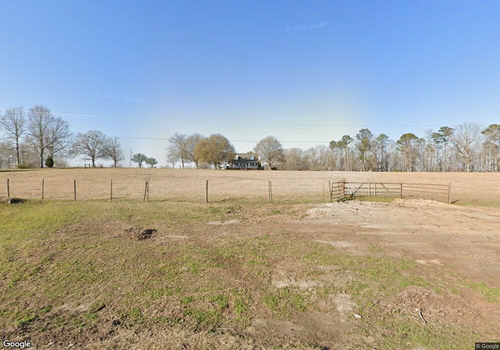
10931 Ga Highway 242 Bartow, GA 30413
Estimated Value: $236,000 - $458,000
--
Bed
2
Baths
2,206
Sq Ft
$150/Sq Ft
Est. Value
About This Home
This home is located at 10931 Ga Highway 242, Bartow, GA 30413 and is currently estimated at $330,773, approximately $149 per square foot. 10931 Ga Highway 242 is a home located in Washington County with nearby schools including Ridge Road Primary School, Ridge Road Elementary School, and T.J. Elder Middle School.
Ownership History
Date
Name
Owned For
Owner Type
Purchase Details
Closed on
Jun 8, 2018
Sold by
Continental Farming Corp
Bought by
Dalton Benjamin John and Dalton Jessie Warren
Current Estimated Value
Purchase Details
Closed on
Jun 24, 1986
Bought by
Dalton John and Dalton Dannet
Purchase Details
Closed on
Jul 10, 1985
Sold by
Forest & Land Services
Bought by
Ingle Robert and Kim Ingle
Purchase Details
Closed on
Aug 23, 1984
Sold by
Frost Rabun E
Bought by
Forest Land Service
Create a Home Valuation Report for This Property
The Home Valuation Report is an in-depth analysis detailing your home's value as well as a comparison with similar homes in the area
Home Values in the Area
Average Home Value in this Area
Purchase History
| Date | Buyer | Sale Price | Title Company |
|---|---|---|---|
| Dalton Benjamin John | $82,876 | -- | |
| Dalton John | $7,000 | -- | |
| Ingle Robert | -- | -- | |
| Forest Land Service | -- | -- |
Source: Public Records
Tax History Compared to Growth
Tax History
| Year | Tax Paid | Tax Assessment Tax Assessment Total Assessment is a certain percentage of the fair market value that is determined by local assessors to be the total taxable value of land and additions on the property. | Land | Improvement |
|---|---|---|---|---|
| 2024 | $2,805 | $109,200 | $35,960 | $73,240 |
| 2023 | $1,419 | $71,480 | $18,640 | $52,840 |
| 2022 | $1,864 | $71,480 | $18,640 | $52,840 |
| 2021 | $1,912 | $71,480 | $18,640 | $52,840 |
| 2020 | $1,909 | $73,720 | $20,880 | $52,840 |
| 2019 | $1,897 | $73,720 | $20,880 | $52,840 |
| 2018 | $1,908 | $73,720 | $20,880 | $52,840 |
| 2017 | $190 | $72,684 | $20,890 | $51,794 |
| 2016 | $1,868 | $72,684 | $20,890 | $51,794 |
| 2015 | $1,408 | $806 | $20,890 | $51,794 |
| 2014 | $1,408 | $73,330 | $21,536 | $51,794 |
| 2013 | $1,408 | $73,330 | $21,536 | $51,793 |
Source: Public Records
Map
Nearby Homes
- 0 Jackson Gin Rd Unit 10439206
- 0 Jackson Gin Rd Unit 52265
- 0 Jackson Gin Rd Unit 10469996
- 9357 E Highway 242
- 1617 New Bethel Rd
- 9872 Harrison Davisboro Rd
- 8849 Sunhill Rd
- 39.702 AC Heards Bridge Rd
- 00 Sheppard Rd
- 0 Sheppard Rd Unit 10545353
- Lt.1 Harrison-Davisboro Rd Unit 1
- Lt.1 Harrison-Davisboro Rd
- 0 Highway 242 Unit 24270248
- 0 Highway 242 Unit 10572361
- 4499 Grady Mertz Rd
- 0 Sinquefield Rd Unit 10570118
- 180 Miller St
- 2377 Main St
- 00 Breezy Hill Rd
- 1480 Smith Bedgood Rd
- 10795 Ga Highway 242
- 10581 Ga Highway 242
- 0 Georgia 242
- 11000 Ga Highway 242
- 002 Georgia 242
- 01 Georgia 242
- 9746 Georgia 242
- 88 Georgia 242
- 86 Georgia 242
- 11141 Georgia 242
- 11141 Ga Highway 242
- 10651 Ga Highway 242 S
- 10505 Ga Highway 242
- 10539 Ga Highway 242
- 10528 Ga Highway 242
- 10522 Ga Highway 242
- 10390 Ga Highway 242
- 369 New Bethel Rd
- 10001 New Bethel Rd
- 569 New Bethel Rd