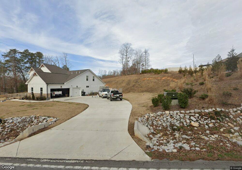
10932 Hixson Pike Unit 106 Soddy Daisy, TN 37379
Estimated Value: $522,000 - $592,397
--
Bed
4
Baths
2,370
Sq Ft
$237/Sq Ft
Est. Value
About This Home
This home is located at 10932 Hixson Pike Unit 106, Soddy Daisy, TN 37379 and is currently estimated at $562,849, approximately $237 per square foot. 10932 Hixson Pike Unit 106 is a home located in Hamilton County.
Ownership History
Date
Name
Owned For
Owner Type
Purchase Details
Closed on
Jun 12, 2023
Sold by
Pratt Homebuilders Llc
Bought by
Mullan Nicole Paier
Current Estimated Value
Home Financials for this Owner
Home Financials are based on the most recent Mortgage that was taken out on this home.
Original Mortgage
$354,900
Outstanding Balance
$345,410
Interest Rate
6.39%
Mortgage Type
New Conventional
Estimated Equity
$217,439
Purchase Details
Closed on
Jul 9, 2019
Sold by
Pratt Land & Development Company Llc
Bought by
Pratt Homebuilders Ii Llc
Purchase Details
Closed on
Sep 26, 2018
Sold by
George Luttrell Devleopment Company
Bought by
Pratt Land Development Llc
Purchase Details
Closed on
Jun 30, 2016
Sold by
Clayton Claude E and Clayton Janice M
Bought by
George Luttrelal Development Company Llc
Purchase Details
Closed on
Jul 14, 1998
Sold by
Larry Denham
Bought by
Denham Larry G and Denham Elizabeth A
Create a Home Valuation Report for This Property
The Home Valuation Report is an in-depth analysis detailing your home's value as well as a comparison with similar homes in the area
Home Values in the Area
Average Home Value in this Area
Purchase History
| Date | Buyer | Sale Price | Title Company |
|---|---|---|---|
| Mullan Nicole Paier | $529,900 | None Listed On Document | |
| Pratt Homebuilders Ii Llc | -- | Team Title Legal Svcs Pllc | |
| Pratt Land Development Llc | $260,000 | Century Title & Escrow Inc | |
| George Luttrelal Development Company Llc | $80,000 | Century Title & Escrow Inc | |
| Denham Larry G | -- | -- |
Source: Public Records
Mortgage History
| Date | Status | Borrower | Loan Amount |
|---|---|---|---|
| Open | Mullan Nicole Paier | $354,900 |
Source: Public Records
Tax History Compared to Growth
Tax History
| Year | Tax Paid | Tax Assessment Tax Assessment Total Assessment is a certain percentage of the fair market value that is determined by local assessors to be the total taxable value of land and additions on the property. | Land | Improvement |
|---|---|---|---|---|
| 2024 | $2,030 | $90,725 | $0 | $0 |
| 2023 | $1,461 | $64,900 | $0 | $0 |
| 2022 | $280 | $12,500 | $0 | $0 |
| 2021 | $280 | $12,500 | $0 | $0 |
| 2020 | $346 | $12,500 | $0 | $0 |
| 2019 | $346 | $12,500 | $0 | $0 |
| 2018 | $346 | $12,500 | $0 | $0 |
| 2017 | $346 | $12,500 | $0 | $0 |
Source: Public Records
Map
Nearby Homes
- 11036 High River Dr
- 10947 High River Dr
- 11015 High River Dr
- 2110 Autumn River Dr
- 2137 Autumn River Dr
- 2338 Stonesage Rd
- 11734 Armstrong Rd
- 10496 Sovereign Pointe Dr
- 1055 Apollo Dr
- 1524 Green Pond Rd
- 10224 Tommys Ln
- 1008 Trojan Run Dr
- 10627 Jeneva Ln
- 1052 Trojan Run Dr
- 10428 Jeneva Ln
- 5671 Willow Point Ln
- 2727 Thicket Rd
- 10166 Hunters Hollow Dr
- 10160 Hunters Hollow Dr
- 1724 Magnum Ln
- 10932 Hixson Pike
- 10930 Hixson Pike
- 2003 River Watch Dr
- 2003 River Watch Dr Unit 105
- 2011 River Watch Dr
- 2015 River Watch Dr
- 2015 River Watch Dr Unit 103
- 1822 Yaphank Rd
- 1830 Yaphank Rd
- 2010 River Watch Dr
- 2010 River Watch Dr Unit 1
- 10915 Short River Ct
- 10933 Hixson Pike
- 10933 Hixson Pike Unit 1
- 1822 Smith Cemetery Rd
- 10921 Short River Ct Unit 100
- 10921 Short River Ct
- 1834 Yaphank Rd
- 2018 River Watch Dr
- 2018 River Watch Dr Unit 2