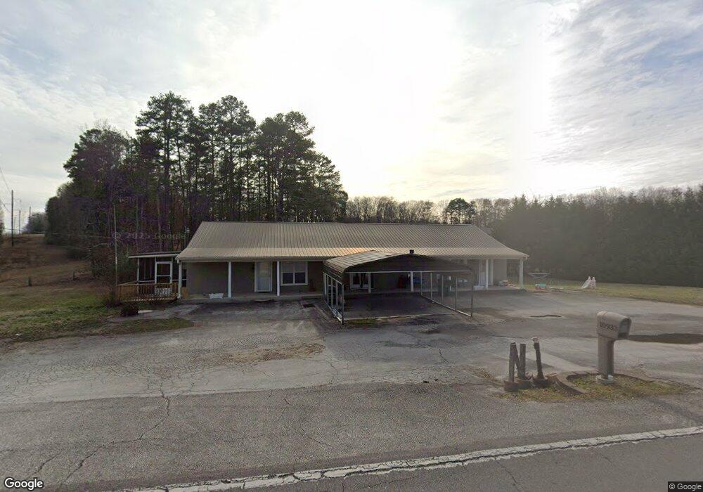
10933 Hixson Pike Unit 1 Soddy Daisy, TN 37379
Estimated Value: $294,000 - $378,000
--
Bed
--
Bath
2,400
Sq Ft
$133/Sq Ft
Est. Value
About This Home
This home is located at 10933 Hixson Pike Unit 1, Soddy Daisy, TN 37379 and is currently estimated at $318,399, approximately $132 per square foot. 10933 Hixson Pike Unit 1 is a home located in Hamilton County.
Ownership History
Date
Name
Owned For
Owner Type
Purchase Details
Closed on
Mar 23, 2022
Sold by
Modem Home Llc
Bought by
Ward William and Ward Brittany Victoria
Current Estimated Value
Home Financials for this Owner
Home Financials are based on the most recent Mortgage that was taken out on this home.
Original Mortgage
$200,800
Outstanding Balance
$161,502
Interest Rate
2.93%
Mortgage Type
New Conventional
Estimated Equity
$156,897
Purchase Details
Closed on
Aug 10, 2018
Sold by
Berry Adrian T and Berry Sherri L
Bought by
Tinch Dannie Brian and Tinch Tammy R
Home Financials for this Owner
Home Financials are based on the most recent Mortgage that was taken out on this home.
Original Mortgage
$124,000
Interest Rate
4.5%
Mortgage Type
New Conventional
Purchase Details
Closed on
Jul 23, 2007
Sold by
Mcnew Ronnie and Mcnew Carolyn
Bought by
Berry Adrian T and Berry Sherri L
Home Financials for this Owner
Home Financials are based on the most recent Mortgage that was taken out on this home.
Original Mortgage
$45,000
Interest Rate
6.71%
Mortgage Type
Unknown
Purchase Details
Closed on
Jan 30, 1995
Sold by
Rhea County National Bank
Bought by
Mc New Ronnie & Carolyn
Create a Home Valuation Report for This Property
The Home Valuation Report is an in-depth analysis detailing your home's value as well as a comparison with similar homes in the area
Home Values in the Area
Average Home Value in this Area
Purchase History
| Date | Buyer | Sale Price | Title Company |
|---|---|---|---|
| Ward William | $251,000 | None Listed On Document | |
| Tinch Dannie Brian | $155,000 | Northgate Title Ins Agency | |
| Berry Adrian T | $45,000 | Title Insurance Co Of Dayton | |
| Mc New Ronnie & Carolyn | $46,850 | -- |
Source: Public Records
Mortgage History
| Date | Status | Borrower | Loan Amount |
|---|---|---|---|
| Open | Ward William | $200,800 | |
| Previous Owner | Tinch Dannie Brian | $124,000 | |
| Previous Owner | Berry Adrian T | $45,000 |
Source: Public Records
Tax History Compared to Growth
Tax History
| Year | Tax Paid | Tax Assessment Tax Assessment Total Assessment is a certain percentage of the fair market value that is determined by local assessors to be the total taxable value of land and additions on the property. | Land | Improvement |
|---|---|---|---|---|
| 2024 | $898 | $40,150 | $0 | $0 |
| 2023 | $907 | $40,150 | $0 | $0 |
| 2022 | $907 | $40,150 | $0 | $0 |
| 2021 | $907 | $40,150 | $0 | $0 |
| 2020 | $1,004 | $36,000 | $0 | $0 |
| 2019 | $1,004 | $36,000 | $0 | $0 |
| 2018 | $505 | $17,950 | $0 | $0 |
| 2017 | $505 | $17,950 | $0 | $0 |
| 2016 | $478 | $0 | $0 | $0 |
| 2015 | $478 | $16,950 | $0 | $0 |
| 2014 | $478 | $0 | $0 | $0 |
Source: Public Records
Map
Nearby Homes
- 10947 High River Dr
- 11036 High River Dr
- 11015 High River Dr
- 2110 Autumn River Dr
- 2137 Autumn River Dr
- 2338 Stonesage Rd
- 11734 Armstrong Rd
- 10496 Sovereign Pointe Dr
- 1524 Green Pond Rd
- 10224 Tommys Ln
- 1055 Apollo Dr
- 10627 Jeneva Ln
- 1008 Trojan Run Dr
- 2727 Thicket Rd
- 1052 Trojan Run Dr
- 5671 Willow Point Ln
- 10166 Hunters Hollow Dr
- 10428 Jeneva Ln
- 10160 Hunters Hollow Dr
- 1724 Magnum Ln
- 10933 Hixson Pike
- 2010 River Watch Dr
- 2010 River Watch Dr Unit 1
- 10925 Hixson Pike
- 1822 Smith Cemetery Rd
- 10926 Hixson Pike
- 2003 River Watch Dr
- 2003 River Watch Dr Unit 105
- 2011 River Watch Dr
- 2018 River Watch Dr
- 2018 River Watch Dr Unit 2
- 2024 River Watch Dr
- 2024 River Watch Dr Unit 3
- 10930 Hixson Pike
- 2015 River Watch Dr
- 2015 River Watch Dr Unit 103
- 10932 Hixson Pike
- 10932 Hixson Pike Unit 106
- 2028 River Watch Dr
- 2003 Frankie Ln