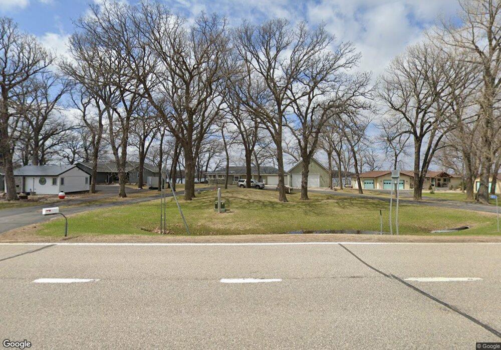
10937 Highway 15 Brownton, MN 55312
Estimated Value: $439,000 - $507,000
--
Bed
--
Bath
1,372
Sq Ft
$347/Sq Ft
Est. Value
About This Home
This home is located at 10937 Highway 15, Brownton, MN 55312 and is currently estimated at $475,883, approximately $346 per square foot. 10937 Highway 15 is a home located in McLeod County with nearby schools including Lincoln Elementary School, Lakeside Elementary School, and Glencoe-Silver Lake Jr. High School.
Ownership History
Date
Name
Owned For
Owner Type
Purchase Details
Closed on
Nov 30, 2012
Sold by
Petersen Sheridan J and Petersen Barbara
Bought by
Fischer Farrel H and Fischer Janel L
Current Estimated Value
Home Financials for this Owner
Home Financials are based on the most recent Mortgage that was taken out on this home.
Original Mortgage
$155,200
Outstanding Balance
$28,537
Interest Rate
3.36%
Mortgage Type
Purchase Money Mortgage
Estimated Equity
$447,346
Create a Home Valuation Report for This Property
The Home Valuation Report is an in-depth analysis detailing your home's value as well as a comparison with similar homes in the area
Home Values in the Area
Average Home Value in this Area
Purchase History
| Date | Buyer | Sale Price | Title Company |
|---|---|---|---|
| Fischer Farrel H | -- | Stewart Title Of Mn Inc Bloo |
Source: Public Records
Mortgage History
| Date | Status | Borrower | Loan Amount |
|---|---|---|---|
| Open | Fischer Farrel H | $155,200 |
Source: Public Records
Tax History Compared to Growth
Tax History
| Year | Tax Paid | Tax Assessment Tax Assessment Total Assessment is a certain percentage of the fair market value that is determined by local assessors to be the total taxable value of land and additions on the property. | Land | Improvement |
|---|---|---|---|---|
| 2024 | $4,068 | $489,600 | $178,500 | $311,100 |
| 2023 | $3,390 | $409,200 | $151,700 | $257,500 |
| 2022 | $3,010 | $389,200 | $130,400 | $258,800 |
| 2021 | $3,008 | $296,300 | $96,400 | $199,900 |
| 2020 | $2,950 | $294,700 | $96,400 | $198,300 |
| 2019 | $2,506 | $281,600 | $83,300 | $198,300 |
| 2018 | $2,348 | $0 | $0 | $0 |
| 2017 | $2,194 | $0 | $0 | $0 |
| 2016 | $1,768 | $0 | $0 | $0 |
| 2015 | $1,338 | $0 | $0 | $0 |
| 2014 | -- | $0 | $0 | $0 |
Source: Public Records
Map
Nearby Homes
- 11742 Sunset Cir
- 11655 Sunset Cir
- Lot 2 Tagus Ave
- 237 5th St N
- 304 1st Ave N
- xxx Lot 3 Division St W
- 16452 90th St
- 531 2nd St N
- 122 2nd Ave S
- 752 2nd St N
- 221 3rd Ave S
- XXX US Hwy 212
- xxx Lot 2 Us Hwy 212
- 7612 Plum Ave
- Lot 2 U S Highway 212
- 12893 County Road 7
- 15554 130th St
- 15092 Highway 15 S
- 13198 100th St
- XXX Airport Rd
- 10937 Highway 15
- 10937 Highway 15
- 10937 Highway 15
- 10937 Highway 15
- 10925 Highway 15
- 10963 Highway 15
- 10891 Highway 15
- 10987 Highway 15
- 10865 Highway 15
- 10865 Minnesota 15
- 10853 Highway 15
- 11001 Highway 15
- 11001 Highway 15
- 11001 Highway 15
- 11001 Highway 15
- 11001 Highway 15
- 10841 Highway 15
- 10841 Highway 15
- 10952 Highway 15
- 10952 Highway 15