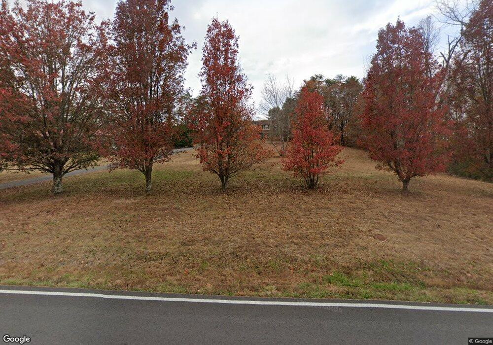
1094 Byrams Fork Rd Andersonville, TN 37705
Estimated Value: $484,361 - $743,000
3
Beds
3
Baths
2,400
Sq Ft
$233/Sq Ft
Est. Value
About This Home
This home is located at 1094 Byrams Fork Rd, Andersonville, TN 37705 and is currently estimated at $558,840, approximately $232 per square foot. 1094 Byrams Fork Rd is a home located in Anderson County.
Ownership History
Date
Name
Owned For
Owner Type
Purchase Details
Closed on
Jun 21, 2004
Sold by
Jones Carol A
Bought by
Butcher Lawrence E
Current Estimated Value
Home Financials for this Owner
Home Financials are based on the most recent Mortgage that was taken out on this home.
Original Mortgage
$137,200
Outstanding Balance
$68,190
Interest Rate
6.25%
Estimated Equity
$490,650
Purchase Details
Closed on
Aug 30, 2000
Sold by
Massengill Timothy L
Bought by
Jones Carol
Purchase Details
Closed on
Apr 26, 1996
Bought by
Paul John G
Create a Home Valuation Report for This Property
The Home Valuation Report is an in-depth analysis detailing your home's value as well as a comparison with similar homes in the area
Home Values in the Area
Average Home Value in this Area
Purchase History
| Date | Buyer | Sale Price | Title Company |
|---|---|---|---|
| Butcher Lawrence E | $171,500 | -- | |
| Jones Carol | $150,000 | -- | |
| Paul John G | $14,500 | -- |
Source: Public Records
Mortgage History
| Date | Status | Borrower | Loan Amount |
|---|---|---|---|
| Open | Paul John G | $137,200 |
Source: Public Records
Tax History Compared to Growth
Tax History
| Year | Tax Paid | Tax Assessment Tax Assessment Total Assessment is a certain percentage of the fair market value that is determined by local assessors to be the total taxable value of land and additions on the property. | Land | Improvement |
|---|---|---|---|---|
| 2024 | $1,480 | $56,300 | $7,500 | $48,800 |
| 2023 | $1,480 | $56,300 | $0 | $0 |
| 2022 | $1,480 | $56,300 | $7,500 | $48,800 |
| 2021 | $1,480 | $56,300 | $7,500 | $48,800 |
| 2020 | $1,334 | $56,300 | $7,500 | $48,800 |
| 2019 | $1,382 | $47,800 | $7,500 | $40,300 |
| 2018 | $1,334 | $47,800 | $7,500 | $40,300 |
| 2017 | $1,334 | $47,800 | $7,500 | $40,300 |
| 2016 | $1,334 | $47,800 | $7,500 | $40,300 |
| 2015 | -- | $47,800 | $7,500 | $40,300 |
| 2014 | -- | $47,800 | $7,500 | $40,300 |
| 2013 | -- | $50,450 | $0 | $0 |
Source: Public Records
Map
Nearby Homes
- 5728 Hickory Valley Rd
- 170 Lone Mountain Rd
- 102 Morning Glory
- 0 Chicory Dr Unit 1313759
- 105 Jasmine Dr
- 125 Trillium Dr
- 121 Blue Phlox Ln
- 0 Larkspur Dr
- 124 Blue Phlox Ln
- 116 Blue Phlox Ln
- 0 Park Ln Unit 1307016
- 3816 Andersonville Hwy
- 172 Huntington Ln
- 4134 Norris Fwy
- 107 Sportsman Ln
- 764 Mount Olive Rd
- 208 Cornerstone Cir
- 229 Mossy Rock Rd
- 218 Mossy Rock Rd
- 214 Mossy Rock Rd
- 1098 Byrams Fork Rd
- 1120 Byrams Fork Rd
- 1084 Byrams Fork Rd
- 1076 Byrams Fork Rd
- 1079 Byrams Fork Rd
- 1138 Byrams Fork Rd
- 1068 Byrams Fork Rd
- 1068 Byrams Fork Rd
- 1146 Byrams Fork Rd
- 182 Humphrey Cemetery Cir
- 1020 Byrams Fork Rd
- 5694 Hickory Valley Rd
- 5610 Hickory Valley Rd
- 1194 Byrams Fork Rd
- 186 Humphrey Cemetery Cir
- 5630 Hickory Valley Rd
- 114 Pathfinder Ln
- 5622 Hickory Valley Rd
- 199 Humphrey Cemetery Cir
- 5738 Hickory Valley Rd
