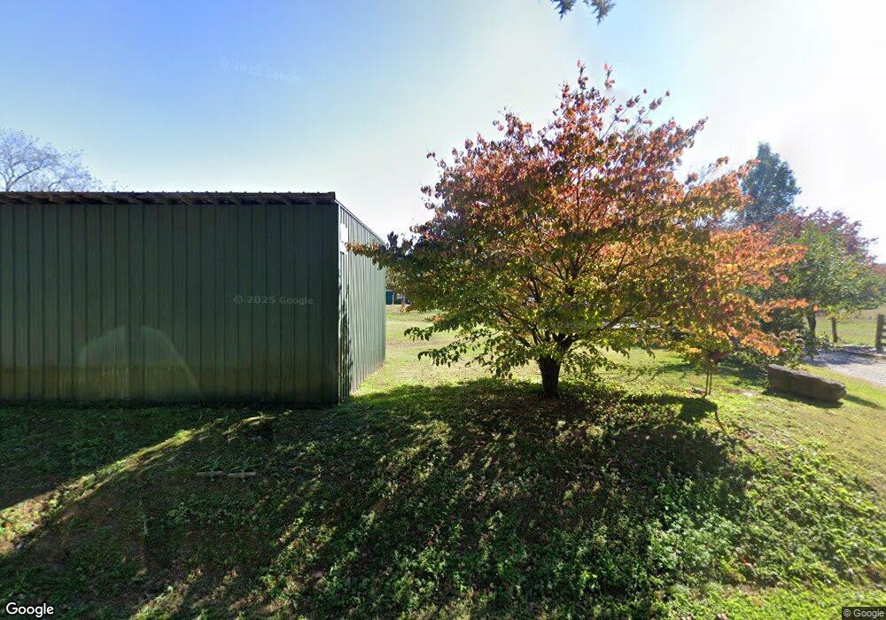
1094 Poplar Cove Rd Jamestown, TN 38556
Estimated Value: $424,000 - $655,000
--
Bed
2
Baths
1,641
Sq Ft
$342/Sq Ft
Est. Value
About This Home
This home is located at 1094 Poplar Cove Rd, Jamestown, TN 38556 and is currently estimated at $561,757, approximately $342 per square foot. 1094 Poplar Cove Rd is a home located in Fentress County.
Ownership History
Date
Name
Owned For
Owner Type
Purchase Details
Closed on
Feb 10, 2022
Sold by
David Franklin Sr Charles and David Jean Patty
Bought by
Franklin Charles David
Current Estimated Value
Purchase Details
Closed on
Nov 3, 2015
Sold by
Franklin Charles
Bought by
Franklin Charles David
Purchase Details
Closed on
Jul 28, 2014
Sold by
Reagan Ray Allen
Bought by
Franklin Charles
Purchase Details
Closed on
Apr 26, 1988
Bought by
Franklin Charles
Create a Home Valuation Report for This Property
The Home Valuation Report is an in-depth analysis detailing your home's value as well as a comparison with similar homes in the area
Home Values in the Area
Average Home Value in this Area
Purchase History
| Date | Buyer | Sale Price | Title Company |
|---|---|---|---|
| Franklin Charles David | -- | None Listed On Document | |
| Franklin Charles David | -- | -- | |
| Franklin Charles David | -- | -- | |
| Franklin Charles | -- | -- | |
| Franklin Charles | $40,000 | -- |
Source: Public Records
Tax History Compared to Growth
Tax History
| Year | Tax Paid | Tax Assessment Tax Assessment Total Assessment is a certain percentage of the fair market value that is determined by local assessors to be the total taxable value of land and additions on the property. | Land | Improvement |
|---|---|---|---|---|
| 2025 | $1,119 | $82,900 | $0 | $0 |
| 2024 | $1,119 | $82,900 | $26,600 | $56,300 |
| 2023 | $1,119 | $82,900 | $26,600 | $56,300 |
| 2022 | $1,204 | $63,050 | $22,025 | $41,025 |
| 2021 | $1,204 | $63,050 | $22,025 | $41,025 |
| 2020 | $1,204 | $63,050 | $22,025 | $41,025 |
| 2019 | $1,204 | $63,050 | $22,025 | $41,025 |
| 2018 | $1,125 | $58,900 | $22,025 | $36,875 |
| 2017 | $1,026 | $51,725 | $19,400 | $32,325 |
| 2016 | $1,026 | $51,725 | $19,400 | $32,325 |
| 2015 | $3,125 | $157,500 | $0 | $0 |
| 2014 | $1,026 | $51,718 | $0 | $0 |
Source: Public Records
Map
Nearby Homes
- 1095 Poplar Cove Rd
- 0 Livingston Hwy Unit RTC2901491
- 0 Livingston Hwy Unit 164545
- 0 Livingston Hwy Unit 144978
- 0 Livingston Hwy Unit 134102
- 0 Livingston Hwy Unit 596315
- 0 Livingston Hwy Unit 669095
- 0 Livingston Hwy Unit 707760
- 0 Livingston Hwy Unit 724675
- 0 Livingston Hwy Unit 724673
- 0 Livingston Hwy Unit 724668
- 0 Livingston Hwy Unit 734797
- 0 Livingston Hwy Unit 748825
- 0 Livingston Hwy Unit 751504
- 0 Livingston Hwy Unit 751826
- 0 Livingston Hwy Unit 751827
- 0 Livingston Hwy Unit 751825
- 0 Livingston Hwy Unit 763858
- 0 Livingston Hwy Unit 809301
- 0 Livingston Hwy Unit 869087