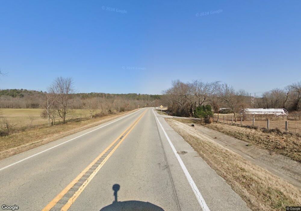
1095 S Highway 59 Siloam Springs, AR 72761
Estimated Value: $378,151 - $393,000
--
Bed
2
Baths
2,344
Sq Ft
$165/Sq Ft
Est. Value
About This Home
This home is located at 1095 S Highway 59, Siloam Springs, AR 72761 and is currently estimated at $386,538, approximately $164 per square foot. 1095 S Highway 59 is a home located in Benton County with nearby schools including Northside Elementary School, Southside Elementary School, and Delbert Pete & Pat Allen Elementary School.
Ownership History
Date
Name
Owned For
Owner Type
Purchase Details
Closed on
Jan 23, 2017
Sold by
Carpenter Donald Lee
Bought by
Carpenter Don
Current Estimated Value
Purchase Details
Closed on
Apr 29, 2005
Sold by
Carpenter Donald Lee
Bought by
Carpenter Leroy Cephas
Purchase Details
Closed on
Dec 17, 2004
Bought by
Dod 12-17-2004
Purchase Details
Closed on
Feb 5, 1998
Bought by
Carpenter Tr
Purchase Details
Closed on
Mar 14, 1996
Bought by
Barber
Purchase Details
Closed on
Jan 12, 1996
Bought by
Smith Rev Trust
Purchase Details
Closed on
Jan 30, 1995
Bought by
Smith Tr 4Pcls
Create a Home Valuation Report for This Property
The Home Valuation Report is an in-depth analysis detailing your home's value as well as a comparison with similar homes in the area
Home Values in the Area
Average Home Value in this Area
Purchase History
| Date | Buyer | Sale Price | Title Company |
|---|---|---|---|
| Carpenter Don | -- | None Available | |
| Carpenter Leroy Cephas | -- | None Available | |
| Dod 12-17-2004 | -- | -- | |
| Carpenter Tr | $125,000 | -- | |
| Barber | $255,000 | -- | |
| Smith Rev Trust | -- | -- | |
| Smith Tr 4Pcls | -- | -- |
Source: Public Records
Tax History Compared to Growth
Tax History
| Year | Tax Paid | Tax Assessment Tax Assessment Total Assessment is a certain percentage of the fair market value that is determined by local assessors to be the total taxable value of land and additions on the property. | Land | Improvement |
|---|---|---|---|---|
| 2025 | $2,890 | $64,676 | $15,484 | $49,192 |
| 2024 | $2,719 | $64,676 | $15,484 | $49,192 |
| 2023 | $2,472 | $47,030 | $12,500 | $34,530 |
| 2022 | $2,280 | $47,030 | $12,500 | $34,530 |
| 2021 | $2,085 | $47,030 | $12,500 | $34,530 |
| 2020 | $1,901 | $33,010 | $5,470 | $27,540 |
| 2019 | $1,901 | $33,010 | $5,470 | $27,540 |
| 2018 | $1,901 | $33,010 | $5,470 | $27,540 |
| 2017 | $1,925 | $33,420 | $5,880 | $27,540 |
| 2016 | $1,925 | $33,420 | $5,880 | $27,540 |
| 2015 | $2,033 | $35,290 | $13,800 | $21,490 |
| 2014 | $2,033 | $35,290 | $13,800 | $21,490 |
Source: Public Records
Map
Nearby Homes
- 16013 N Airport Rd
- 820 S Parrot Ln
- 824 S Parrot Ln
- 509 Carter Rd
- 920 S Canvasback Dr
- 1729-4 Plan at
- 6008 David Dr
- 925 S Canvasback Dr
- 7004 David Dr
- 0 E Sugarloaf St
- 4108 E Razorbill Dr
- 8006 David Dr
- 813 S Katlyn Dr
- 829 S Katlyn Dr
- 3217 E Hagen St
- 2899 Dawn Ct Unit A & B
- 3251 E Kenwood St
- 0 Progress Ave
- 19941 Edgewood Cir
- 15564 Airport Rd
- 1275 S Highway 59
- 602 S Highway 59
- 0 Hwy 59 Unit 381667
- 0 Hwy 59 Unit 466037
- 0 Hwy 59 Unit 1090888
- 0 Hwy 59 Unit 1091181
- 0 Hwy 59 Unit 1091183
- 0 Hwy 59 Unit 1178177
- Tr3 Hwy 59 and Huntington Rd
- Lot 2 Ok Hwy 59
- 14Ac Hwy 59 & 412 Hwy
- 16.6Ac Hwy 412 & Hwy 59
- - Hwy 412 & Ar 59
- 109 N Hwy 59
- 00 S Hwy 59
- 6.2Ac N Hwy 59 N
- 0 N Tr A Hwy 59
- 0 N Tr B Hwy 59
- Rr 1 S Hwy 59
- 15Ac
