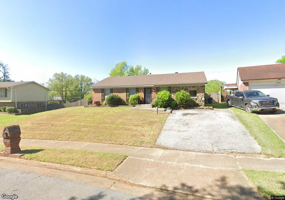
1095 Star Line Rd Memphis, TN 38109
Westwood NeighborhoodEstimated Value: $128,302 - $140,000
3
Beds
2
Baths
1,654
Sq Ft
$81/Sq Ft
Est. Value
About This Home
This home is located at 1095 Star Line Rd, Memphis, TN 38109 and is currently estimated at $133,826, approximately $80 per square foot. 1095 Star Line Rd is a home located in Shelby County with nearby schools including Double Tree Elementary School, Chickasaw Middle School, and Westwood High School.
Ownership History
Date
Name
Owned For
Owner Type
Purchase Details
Closed on
Jan 28, 2026
Sold by
Saulsberry Martha Annette
Bought by
Arise Tn Llc
Current Estimated Value
Home Financials for this Owner
Home Financials are based on the most recent Mortgage that was taken out on this home.
Original Mortgage
$120,700
Outstanding Balance
$120,700
Interest Rate
6.18%
Mortgage Type
Credit Line Revolving
Estimated Equity
$13,126
Purchase Details
Closed on
Oct 8, 2019
Sold by
Saulsberry Mark Anthony
Bought by
Saulsberry Martha Annette
Create a Home Valuation Report for This Property
The Home Valuation Report is an in-depth analysis detailing your home's value as well as a comparison with similar homes in the area
Home Values in the Area
Average Home Value in this Area
Purchase History
| Date | Buyer | Sale Price | Title Company |
|---|---|---|---|
| Arise Tn Llc | $84,000 | Advocate Title & Escrow Servic | |
| Saulsberry Martha Annette | -- | None Available |
Source: Public Records
Mortgage History
| Date | Status | Borrower | Loan Amount |
|---|---|---|---|
| Open | Arise Tn Llc | $120,700 |
Source: Public Records
Tax History
| Year | Tax Paid | Tax Assessment Tax Assessment Total Assessment is a certain percentage of the fair market value that is determined by local assessors to be the total taxable value of land and additions on the property. | Land | Improvement |
|---|---|---|---|---|
| 2025 | $692 | $29,400 | $2,975 | $26,425 |
| 2024 | $692 | $20,400 | $2,225 | $18,175 |
| 2023 | $1,243 | $20,400 | $2,225 | $18,175 |
| 2022 | $1,243 | $20,400 | $2,225 | $18,175 |
| 2021 | $1,257 | $20,400 | $2,225 | $18,175 |
| 2020 | $1,098 | $15,150 | $2,225 | $12,925 |
| 2019 | $1,098 | $15,150 | $2,225 | $12,925 |
| 2018 | $1,098 | $15,150 | $2,225 | $12,925 |
| 2017 | $623 | $15,150 | $2,225 | $12,925 |
| 2016 | $636 | $14,550 | $0 | $0 |
| 2014 | $636 | $14,550 | $0 | $0 |
Source: Public Records
Map
Nearby Homes
- 4487 Weaver Rd S
- 4539 Weaver Rd SW
- 1258 Deer Trail Ln
- 1257 Deer Trail Ln
- 4087 Weaver Rd
- 4391 Shadowline Cove
- 4360 Bluebell St
- 4340 Bluebell St
- 4233 Glenbrook Dr
- 963 Leacrest Ave
- 1390 North Dr
- 436 Western Park Dr
- 896 Pawnee Ave
- 1370 W North Dr
- 933 Leacrest Ave
- 1380 North Dr
- 803 Ledbetter Ave
- 949 W Raines Rd
- 808 Mohawk Ave
- 1233 W Raines Rd
- 1099 Star Line Rd
- 1087 Star Line Rd
- 1087 Star Line Dr
- 1118 Parkrose Rd
- 4527 Cimmaron Dr
- 1124 Parkrose Rd
- 1109 Star Line Rd
- 1098 Star Line Rd
- 4509 Cimmaron Dr
- 1121 Star Line Rd
- 1130 Parkrose Rd
- 1102 Star Line Rd
- 1127 Star Line Rd
- 4493 Cimmaron Dr
- 1098 Parkrose Rd
- 1098 Parkrose Ave
- 4510 Cimmaron Dr
- 1138 Parkrose Rd
- 1133 Star Line Rd
- 4483 Cimmaron Dr
Your Personal Tour Guide
Ask me questions while you tour the home.