10950 Old Route 99 McKean, PA 16426
Estimated Value: $224,000 - $232,545
4
Beds
1
Bath
1,012
Sq Ft
$226/Sq Ft
Est. Value
About This Home
This home is located at 10950 Old Route 99, McKean, PA 16426 and is currently estimated at $228,273, approximately $225 per square foot. 10950 Old Route 99 is a home located in Erie County with nearby schools including McKean Elementary School, James W. Parker Middle School, and General McLane High School.
Ownership History
Date
Name
Owned For
Owner Type
Purchase Details
Closed on
Dec 2, 2010
Sold by
Smith Rickie J
Bought by
Leute Nicholas C
Current Estimated Value
Home Financials for this Owner
Home Financials are based on the most recent Mortgage that was taken out on this home.
Original Mortgage
$115,738
Outstanding Balance
$76,583
Interest Rate
4.25%
Mortgage Type
FHA
Estimated Equity
$151,691
Purchase Details
Closed on
Apr 20, 2009
Sold by
Smith Rickie J and Smith Patricia A
Bought by
Smith Rickie J
Create a Home Valuation Report for This Property
The Home Valuation Report is an in-depth analysis detailing your home's value as well as a comparison with similar homes in the area
Home Values in the Area
Average Home Value in this Area
Purchase History
| Date | Buyer | Sale Price | Title Company |
|---|---|---|---|
| Leute Nicholas C | $118,750 | Pennsylvania Land Titles | |
| Smith Rickie J | -- | None Available |
Source: Public Records
Mortgage History
| Date | Status | Borrower | Loan Amount |
|---|---|---|---|
| Open | Leute Nicholas C | $115,738 |
Source: Public Records
Tax History Compared to Growth
Tax History
| Year | Tax Paid | Tax Assessment Tax Assessment Total Assessment is a certain percentage of the fair market value that is determined by local assessors to be the total taxable value of land and additions on the property. | Land | Improvement |
|---|---|---|---|---|
| 2025 | $2,646 | $115,940 | $47,500 | $68,440 |
| 2024 | $2,562 | $115,940 | $47,500 | $68,440 |
| 2023 | $2,412 | $115,940 | $47,500 | $68,440 |
| 2022 | $2,342 | $115,940 | $47,500 | $68,440 |
| 2021 | $2,312 | $115,940 | $47,500 | $68,440 |
| 2020 | $2,283 | $115,940 | $47,500 | $68,440 |
| 2019 | $2,268 | $115,940 | $47,500 | $68,440 |
| 2018 | $2,219 | $115,940 | $47,500 | $68,440 |
| 2017 | $2,219 | $115,940 | $47,500 | $68,440 |
| 2016 | $2,736 | $115,940 | $47,500 | $68,440 |
| 2015 | $2,707 | $115,940 | $47,500 | $68,440 |
| 2014 | $1,259 | $115,940 | $47,500 | $68,440 |
Source: Public Records
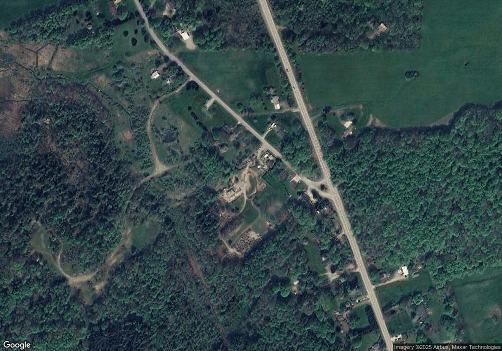
Map
Nearby Homes
- 11060 Edinboro Rd
- 4919 Old State Rd
- 11261 Lay Rd
- 0 Leacock Rd
- 9731 Silverthorn Rd
- 0 Shenango Dr Unit 1
- 0 Shenango Dr
- 4055 Ponderosa Dr
- TBD1 Silverthorn Rd
- 00 Silverthorn Rd
- 12191 Skyview Dr
- 5489 Harold Dr
- 702 Skyline Dr
- 0 Sharp Rd Unit 185719
- 113 Cherry St
- 5115 West Rd
- 209 Timberlake Dr
- 11897 Silverthorn (Tr 86 Rt T438) Rd
- 4954 East Ave
- 0 Edinboro Rd Unit 182375
- 10960 Old Route 99
- 10940 Old Route 99
- 10941 Old Route 99
- 10938 Old Route 99
- 10931 Old Route 99
- 10918 Old Route 99
- 10943 Edinboro Rd
- 11014 Edinboro Rd
- 11016 Edinboro Rd
- 11010 Edinboro Rd
- 11020 Edinboro Rd
- 11030 Edinboro Rd
- 11031 Edinboro Rd
- 10881 Old Route 99
- 11040 Edinboro Rd
- 11060 Edinboro Rd
- 10831 Old Route 99
- 11050 Edinboro Rd
- 11041 Edinboro Rd
- 10850 Old Route 99