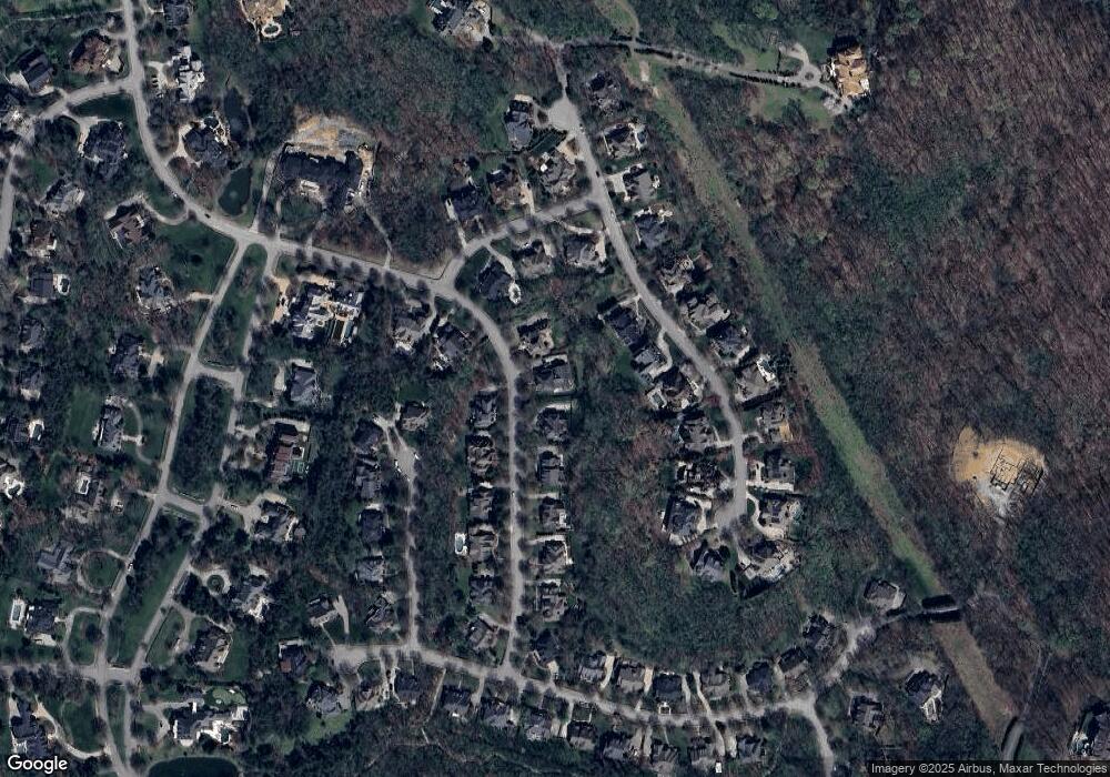
1096 Vaughn Crest Dr Franklin, TN 37069
Estimated Value: $2,223,883 - $2,968,000
--
Bed
7
Baths
5,978
Sq Ft
$439/Sq Ft
Est. Value
About This Home
This home is located at 1096 Vaughn Crest Dr, Franklin, TN 37069 and is currently estimated at $2,621,471, approximately $438 per square foot. 1096 Vaughn Crest Dr is a home located in Williamson County with nearby schools including Grassland Elementary School, Grassland Middle School, and Franklin High School.
Ownership History
Date
Name
Owned For
Owner Type
Purchase Details
Closed on
Jun 30, 2006
Sold by
Southern Land Co Llc
Bought by
Dale Randy W and Dale Michelle J
Current Estimated Value
Home Financials for this Owner
Home Financials are based on the most recent Mortgage that was taken out on this home.
Original Mortgage
$70,000
Outstanding Balance
$41,108
Interest Rate
6.55%
Mortgage Type
Credit Line Revolving
Estimated Equity
$2,580,363
Purchase Details
Closed on
Aug 17, 2004
Sold by
Vaughn Road Partners
Bought by
Southern Land Co Llc
Home Financials for this Owner
Home Financials are based on the most recent Mortgage that was taken out on this home.
Original Mortgage
$726,225
Interest Rate
5.96%
Mortgage Type
Construction
Create a Home Valuation Report for This Property
The Home Valuation Report is an in-depth analysis detailing your home's value as well as a comparison with similar homes in the area
Home Values in the Area
Average Home Value in this Area
Purchase History
| Date | Buyer | Sale Price | Title Company |
|---|---|---|---|
| Dale Randy W | $1,125,000 | Land Title South Inc | |
| Southern Land Co Llc | $164,333 | Southland Title & Escrow Co |
Source: Public Records
Mortgage History
| Date | Status | Borrower | Loan Amount |
|---|---|---|---|
| Open | Dale Randy W | $70,000 | |
| Open | Dale Randy W | $600,000 | |
| Previous Owner | Southern Land Co Llc | $726,225 |
Source: Public Records
Tax History Compared to Growth
Tax History
| Year | Tax Paid | Tax Assessment Tax Assessment Total Assessment is a certain percentage of the fair market value that is determined by local assessors to be the total taxable value of land and additions on the property. | Land | Improvement |
|---|---|---|---|---|
| 2025 | $6,818 | $560,525 | $162,500 | $398,025 |
| 2024 | $6,818 | $362,675 | $65,625 | $297,050 |
| 2023 | $6,818 | $362,675 | $65,625 | $297,050 |
| 2022 | $6,818 | $362,675 | $65,625 | $297,050 |
| 2021 | $6,818 | $362,675 | $65,625 | $297,050 |
| 2020 | $6,927 | $312,025 | $43,750 | $268,275 |
| 2019 | $6,927 | $312,025 | $43,750 | $268,275 |
| 2018 | $6,709 | $312,025 | $43,750 | $268,275 |
| 2017 | $6,709 | $312,025 | $43,750 | $268,275 |
| 2016 | $6,709 | $312,025 | $43,750 | $268,275 |
| 2015 | -- | $259,475 | $43,750 | $215,725 |
| 2014 | -- | $259,475 | $43,750 | $215,725 |
Source: Public Records
Map
Nearby Homes
- 1413 Willowbrooke Cir
- 1059 Stockett Dr
- 1090 Stockett Dr
- 236 Gardenridge Dr
- 1462 Sneed Rd W
- 1023 Stockett Dr
- 1060 Stonebridge Park Dr
- 1101 Grafton Dr
- 229 Bramerton Ct
- 114 Vaughn Rd
- 508 Chippenham Ct
- 360 Vaughn Rd
- 105 Steeplechase Ln
- 104 Steeplechase Ln
- 106 Steeplechase Ln
- 118 Boxwood Dr
- 0 Steeplechase Ln
- 175 Boxwood Dr
- 1019 Boxwood Dr
- 2046 Hunterwood Dr
- 1100 Vaughn Crest Dr
- 1092 Vaughn Crest Dr
- 1092 Vaughn Crest Blvd
- 1099 Vaughn Crest Dr
- 1104 Vaughn Crest Dr
- 5509 Iron Gate Dr
- 5513 Iron Gate Dr
- 1103 Vaughn Crest Dr
- 1089 Vaughn Crest Dr
- 1205 Talon Way
- 1201 Talon Way
- 5517 Iron Gate Dr
- 1108 Vaughn Crest Dr
- 5505 Iron Gate Dr
- 1107 Vaughn Crest Dr
- 2521 Shadow Cove
- 5521 Iron Gate Dr
- 1085 Vaughn Crest Dr
- 5527 Iron Gate Dr
- 5508 Iron Gate Dr
