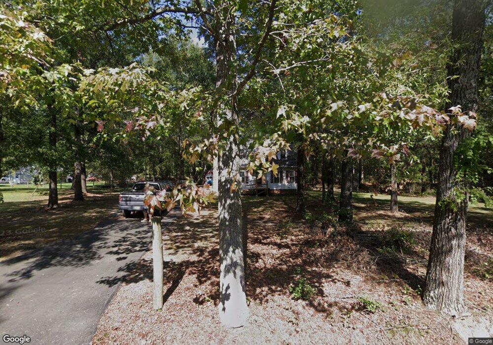
10960 Branch Rd Glen Allen, VA 23059
Estimated Value: $377,000 - $503,000
4
Beds
2
Baths
1,925
Sq Ft
$223/Sq Ft
Est. Value
About This Home
This home is located at 10960 Branch Rd, Glen Allen, VA 23059 and is currently estimated at $428,428, approximately $222 per square foot. 10960 Branch Rd is a home located in Henrico County with nearby schools including Greenwood Elementary School, Hungary Creek Middle School, and Glen Allen High School.
Ownership History
Date
Name
Owned For
Owner Type
Purchase Details
Closed on
Oct 1, 1996
Sold by
Mullins David M
Bought by
Vincil James E and Vincil Joyce E
Current Estimated Value
Home Financials for this Owner
Home Financials are based on the most recent Mortgage that was taken out on this home.
Original Mortgage
$121,450
Outstanding Balance
$10,894
Interest Rate
7.83%
Mortgage Type
New Conventional
Estimated Equity
$417,534
Create a Home Valuation Report for This Property
The Home Valuation Report is an in-depth analysis detailing your home's value as well as a comparison with similar homes in the area
Home Values in the Area
Average Home Value in this Area
Purchase History
| Date | Buyer | Sale Price | Title Company |
|---|---|---|---|
| Vincil James E | $135,000 | -- |
Source: Public Records
Mortgage History
| Date | Status | Borrower | Loan Amount |
|---|---|---|---|
| Open | Vincil James E | $121,450 |
Source: Public Records
Tax History Compared to Growth
Tax History
| Year | Tax Paid | Tax Assessment Tax Assessment Total Assessment is a certain percentage of the fair market value that is determined by local assessors to be the total taxable value of land and additions on the property. | Land | Improvement |
|---|---|---|---|---|
| 2025 | $2,841 | $318,900 | $73,400 | $245,500 |
| 2024 | $2,841 | $318,900 | $73,400 | $245,500 |
| 2023 | $2,711 | $318,900 | $73,400 | $245,500 |
| 2022 | $2,458 | $289,200 | $70,400 | $218,800 |
| 2021 | $2,279 | $248,900 | $62,100 | $186,800 |
| 2020 | $2,165 | $248,900 | $62,100 | $186,800 |
| 2019 | $2,122 | $243,900 | $62,100 | $181,800 |
| 2018 | $2,031 | $233,400 | $60,100 | $173,300 |
| 2017 | $1,871 | $215,000 | $55,100 | $159,900 |
| 2016 | $1,826 | $209,900 | $55,100 | $154,800 |
| 2015 | $1,826 | $209,900 | $55,100 | $154,800 |
| 2014 | $1,826 | $209,900 | $55,100 | $154,800 |
Source: Public Records
Map
Nearby Homes
- 11301 Brooks St
- 11400 Brooks St
- 11300 Brooks St
- 11066 Greenwood Rd
- 3215 Greenwood Ct
- 10904 Robin Spring Ln
- 10384 Burroughs Town Ln
- 3917 Links Ln
- 11601 Sethwarner Dr
- 2728 Cemetery Rd
- 2011 Farmstead Mill Ct
- SUMMIT Plan at Sheppard Mill
- Hampton Plan at Sheppard Mill
- VANDERBILT Plan at Sheppard Mill
- JAMESTOWN Plan at Sheppard Mill
- WESTERLY Plan at Sheppard Mill
- 3916 Lyons Mill Ln
- 3011 Fletcher Alley
- 3908 Lyons Mill Ln
- 10710 Beach Rock Point
- 10950 Branch Rd
- 10970 Branch Rd
- 0 Braxton Rd
- 10961 Branch Rd
- 10990 Branch Rd
- 10951 Branch Rd
- 10967 Branch Rd
- 10930 Branch Rd
- 10931 Branch Rd
- 11000 Branch Rd
- 10940 Braxton Ave
- 10926 Branch Rd
- 3001 Chiles Rd
- 10911 Branch Rd
- 11050 Branch Rd
- 10928 Braxton Ave
- 10900 Branch Rd
- 11441 Greenwood Rd
- 11090 Branch Rd
- 11092 Branch Rd