10961 Granite Rd West Fork, AR 72774
Estimated Value: $322,608 - $597,000
Studio
1
Bath
3,075
Sq Ft
$149/Sq Ft
Est. Value
About This Home
This home is located at 10961 Granite Rd, West Fork, AR 72774 and is currently estimated at $458,536, approximately $149 per square foot. 10961 Granite Rd is a home located in Washington County with nearby schools including West Fork Elementary School, West Fork Middle School, and West Fork High School.
Ownership History
Date
Name
Owned For
Owner Type
Purchase Details
Closed on
Nov 25, 2015
Bought by
Norris Amy and Bolin Hillary
Current Estimated Value
Purchase Details
Closed on
May 12, 2009
Sold by
Bolin Billy Ray and Bolin Deborah L
Bought by
Norris Amy and Bolin Hillary
Purchase Details
Closed on
Feb 28, 1991
Bought by
Bolin Billy Ray and Bolin Deborah L
Purchase Details
Closed on
Jan 1, 1985
Bought by
Little Warren R and Little Evelyn
Create a Home Valuation Report for This Property
The Home Valuation Report is an in-depth analysis detailing your home's value as well as a comparison with similar homes in the area
Home Values in the Area
Average Home Value in this Area
Purchase History
| Date | Buyer | Sale Price | Title Company |
|---|---|---|---|
| Norris Amy | -- | -- | |
| Norris Amy | -- | None Available | |
| Bolin Billy Ray | $27,000 | -- | |
| Little Warren R | -- | -- |
Source: Public Records
Tax History
| Year | Tax Paid | Tax Assessment Tax Assessment Total Assessment is a certain percentage of the fair market value that is determined by local assessors to be the total taxable value of land and additions on the property. | Land | Improvement |
|---|---|---|---|---|
| 2025 | $560 | $31,980 | $9,590 | $22,390 |
| 2024 | $610 | $31,980 | $9,590 | $22,390 |
| 2023 | $641 | $31,980 | $9,590 | $22,390 |
| 2022 | $693 | $21,610 | $5,380 | $16,230 |
| 2021 | $650 | $21,610 | $5,380 | $16,230 |
| 2020 | $607 | $21,610 | $5,380 | $16,230 |
| 2019 | $564 | $18,440 | $4,580 | $13,860 |
| 2018 | $589 | $18,440 | $4,580 | $13,860 |
| 2017 | $51 | $18,440 | $4,580 | $13,860 |
| 2016 | $535 | $18,440 | $4,580 | $13,860 |
| 2015 | $448 | $18,440 | $4,580 | $13,860 |
| 2014 | $410 | $16,270 | $4,550 | $11,720 |
Source: Public Records
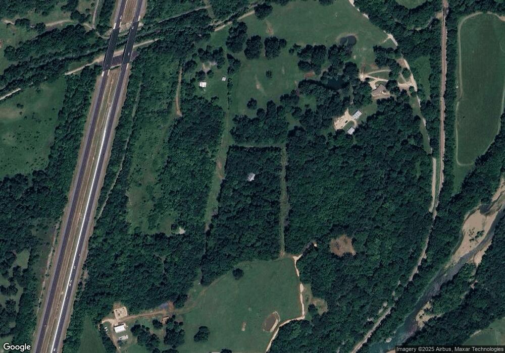
Map
Nearby Homes
- 846 James Place
- 815 James Place
- 224 Maple Ave
- 0000 Highway 170
- 185 Wheeler St
- 67 S Red Oak Ave
- 327 W Smith St
- 385 W Smith St
- 353 W Smith St
- 365 W Smith St
- 0 W Smith St Unit 1334508
- 503 Clark Ave
- 222 Rivendale Dr
- 338 Hidden Creek Place
- 13582 S Highway 170
- 13653 W Mountain Rd
- 260 Culp Trail
- TBD Butterfield Ave
- 10957 Granite Rd
- 12553 SE Campbell Rd
- 0 Campbell Wc 63 Unit 1048287
- 000 Campbell Loop Rd
- 5Ac Campbell Community Building Rd
- 59Ac Campbell Community Bldg Rd
- 0 Cemetery Ave
- 8 Cemetary Ave
- 0 S Campbell Ave
- 0 Dye Creek Rd Unit 541922
- TBD Dye Creek Rd
- 60 Cemetary Ave
- 878 James Place
- 11154 Dye Creek Rd
- 11154 W Dye Creek Rd
- 52 Maple Ave
- 149 Riverwood Ave
- 159 Riverwood Ave
- 141 Riverwood Ave
- 167 Riverwood Ave
Your Personal Tour Guide
Ask me questions while you tour the home.