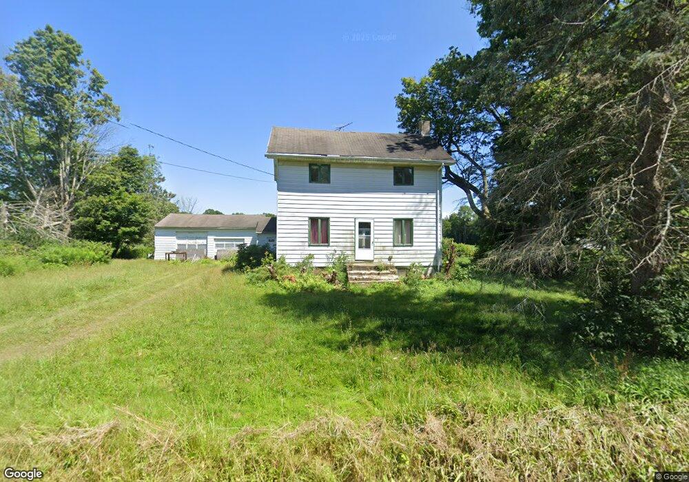
10961 Oliver Rd Mc Kean, PA 16426
Estimated Value: $300,000 - $358,000
5
Beds
2
Baths
3,080
Sq Ft
$107/Sq Ft
Est. Value
About This Home
This home is located at 10961 Oliver Rd, Mc Kean, PA 16426 and is currently estimated at $329,050, approximately $106 per square foot. 10961 Oliver Rd is a home located in Erie County with nearby schools including McKean Elementary School, James W. Parker Middle School, and General McLane High School.
Ownership History
Date
Name
Owned For
Owner Type
Purchase Details
Closed on
Dec 8, 2023
Sold by
Sheriff Of Erie Pennsylvania
Bought by
Pecharka Thomas
Current Estimated Value
Purchase Details
Closed on
Apr 27, 2015
Sold by
Short Delores J
Bought by
Szymanowski John J and Szymanowski Kathleen E
Purchase Details
Closed on
Jul 26, 2004
Sold by
Freitag Richard A and Freitag Nancy A
Bought by
James Joseph A and James Lori L
Home Financials for this Owner
Home Financials are based on the most recent Mortgage that was taken out on this home.
Original Mortgage
$130,000
Interest Rate
6.28%
Mortgage Type
Purchase Money Mortgage
Create a Home Valuation Report for This Property
The Home Valuation Report is an in-depth analysis detailing your home's value as well as a comparison with similar homes in the area
Purchase History
| Date | Buyer | Sale Price | Title Company |
|---|---|---|---|
| Pecharka Thomas | $80,000 | None Listed On Document | |
| Szymanowski John J | $215,000 | None Available | |
| James Joseph A | $130,000 | -- |
Source: Public Records
Mortgage History
| Date | Status | Borrower | Loan Amount |
|---|---|---|---|
| Previous Owner | James Joseph A | $130,000 |
Source: Public Records
Tax History
| Year | Tax Paid | Tax Assessment Tax Assessment Total Assessment is a certain percentage of the fair market value that is determined by local assessors to be the total taxable value of land and additions on the property. | Land | Improvement |
|---|---|---|---|---|
| 2025 | $3,932 | $172,320 | $39,200 | $133,120 |
| 2024 | $3,808 | $172,320 | $39,200 | $133,120 |
| 2023 | $3,584 | $172,320 | $39,200 | $133,120 |
| 2022 | $3,481 | $172,320 | $39,200 | $133,120 |
| 2021 | $3,436 | $172,320 | $39,200 | $133,120 |
| 2020 | $3,393 | $172,320 | $39,200 | $133,120 |
| 2019 | $3,371 | $172,320 | $39,200 | $133,120 |
| 2018 | $3,298 | $172,320 | $39,200 | $133,120 |
| 2017 | $3,298 | $172,320 | $39,200 | $133,120 |
| 2016 | $3,931 | $172,320 | $39,200 | $133,120 |
| 2015 | $3,888 | $172,320 | $39,200 | $133,120 |
| 2014 | $1,871 | $172,320 | $39,200 | $133,120 |
Source: Public Records
Map
Nearby Homes
- 11060 Edinboro Rd
- 4919 Old State Rd
- 4401 Old State Rd
- 0 Leacock Rd
- 5520 Crane Rd
- 0 Sharp Rd Unit 189313
- 9114 Shadduck Rd
- 0 Shenango Dr Unit 1
- 0 Shenango Dr
- 702 Skyline Dr
- 5512 Briarcliff Dr
- 11897 Silverthorn (Tr 86 Rt T438) Rd
- 12191 Skyview Dr
- 0 Edinboro Rd Unit 182375
- 209 Timberlake Dr
- 5489 Harold Dr
- 4854 N Main St
- 3254 Route 6n
- 113 Cherry St
- 118 Beech St
- 10940 Oliver Rd
- 10900 Oliver Rd
- 10881 Oliver Rd
- 10880 Oliver Rd
- 11030 Oliver Rd
- 3781 Woodbriar Way
- 10870 Oliver Rd
- 3750 Woodbriar Way
- 10811 Edinboro Rd
- 10943 Edinboro Rd
- 3951 Woodbriar Way
- 10941 Old Route 99
- 10931 Old Route 99
- 3900 Woodbriar Way
- 11031 Edinboro Rd
- 11130 Oliver Rd
- 11041 Edinboro Rd
- 11014 Edinboro Rd
- 10960 Old Route 99
- 10950 Old Route 99
Your Personal Tour Guide
Ask me questions while you tour the home.