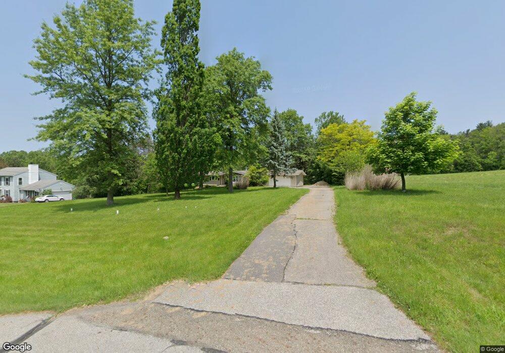
10966 Butternut Rd Chesterland, OH 44026
Estimated Value: $302,000 - $432,000
3
Beds
3
Baths
1,548
Sq Ft
$223/Sq Ft
Est. Value
About This Home
This home is located at 10966 Butternut Rd, Chesterland, OH 44026 and is currently estimated at $344,873, approximately $222 per square foot. 10966 Butternut Rd is a home located in Geauga County with nearby schools including Chardon High School, Notre Dame Elementary School, and St Helen Elementary School.
Ownership History
Date
Name
Owned For
Owner Type
Purchase Details
Closed on
Oct 4, 2019
Sold by
Teichman Karen and Teichman Jim
Bought by
Teichman Karen and Teichman Jim
Current Estimated Value
Purchase Details
Closed on
Aug 15, 1990
Bought by
Rybak George C
Create a Home Valuation Report for This Property
The Home Valuation Report is an in-depth analysis detailing your home's value as well as a comparison with similar homes in the area
Home Values in the Area
Average Home Value in this Area
Purchase History
| Date | Buyer | Sale Price | Title Company |
|---|---|---|---|
| Teichman Karen | -- | None Available | |
| Rybak George C | $86,900 | -- |
Source: Public Records
Tax History Compared to Growth
Tax History
| Year | Tax Paid | Tax Assessment Tax Assessment Total Assessment is a certain percentage of the fair market value that is determined by local assessors to be the total taxable value of land and additions on the property. | Land | Improvement |
|---|---|---|---|---|
| 2024 | $4,224 | $84,770 | $15,920 | $68,850 |
| 2023 | $4,224 | $86,420 | $17,570 | $68,850 |
| 2022 | $3,633 | $62,620 | $14,600 | $48,020 |
| 2021 | $3,617 | $62,620 | $14,600 | $48,020 |
| 2020 | $3,644 | $62,620 | $14,600 | $48,020 |
| 2019 | $331 | $56,010 | $14,600 | $41,410 |
| 2018 | $3,526 | $56,010 | $14,600 | $41,410 |
| 2017 | $3,307 | $56,010 | $14,600 | $41,410 |
| 2016 | $3,203 | $52,930 | $14,600 | $38,330 |
| 2015 | $3,020 | $52,930 | $14,600 | $38,330 |
| 2014 | $3,020 | $52,930 | $14,600 | $38,330 |
| 2013 | $3,040 | $52,930 | $14,600 | $38,330 |
Source: Public Records
Map
Nearby Homes
- 13410 Auburn Rd
- 13559 Auburn Rd
- 13190 N Bridle Trail
- 11155 Butternut Rd
- S/L 19 Sutton Place
- 13228 Boulder Glen Dr
- 13044 Coachman Dr
- 11375 Bean Rd
- 11710 Butternut Rd
- 11100 Pekin Rd
- 10263 Wye Rd
- 10571 Mayfield Rd
- 11235 Pekin Rd
- 12386 Auburn Rd
- 11700 Pekin Rd
- 14255 Bass Lake Rd
- 14380 Bass Lake Rd
- 14646 Dora Dr
- 14606 Castlewood Dr
- 13015 Frazier Dr
- 10950 Butternut Rd
- 10936 Butternut Rd
- 10959 Butternut Rd
- 11002 Butternut Rd
- 10920 Butternut Rd
- 10975 Glenwood Dr
- 10925 Butternut Rd
- 10987 Butternut Rd
- 10906 Butternut Rd
- 10955 Glenwood Dr
- 10995 Glenwood Dr
- 11022 Butternut Rd
- 11025 Glenwood Dr
- 10897 Butternut Rd
- 10894 Butternut Rd
- 10960 Glenwood Dr
- 11040 Butternut Rd
- 11021 Butternut Rd
- 10980 Glenwood Dr
- 11000 Glenwood Dr