10969 County Road 21n West Unity, OH 43570
Estimated Value: $237,000 - $273,000
4
Beds
2
Baths
1,572
Sq Ft
$162/Sq Ft
Est. Value
About This Home
This home is located at 10969 County Road 21n, West Unity, OH 43570 and is currently estimated at $255,000, approximately $162 per square foot. 10969 County Road 21n is a home located in Williams County with nearby schools including Stryker Elementary School and Stryker High School.
Ownership History
Date
Name
Owned For
Owner Type
Purchase Details
Closed on
Mar 16, 2017
Sold by
Leu Paul C
Bought by
Paul C Leu and Sacha E Leu
Current Estimated Value
Purchase Details
Closed on
Nov 4, 1991
Bought by
Leu Paul C and Leu Sacha E
Create a Home Valuation Report for This Property
The Home Valuation Report is an in-depth analysis detailing your home's value as well as a comparison with similar homes in the area
Home Values in the Area
Average Home Value in this Area
Purchase History
| Date | Buyer | Sale Price | Title Company |
|---|---|---|---|
| Paul C Leu | -- | -- | |
| Leu Paul C | $23,100 | -- |
Source: Public Records
Tax History Compared to Growth
Tax History
| Year | Tax Paid | Tax Assessment Tax Assessment Total Assessment is a certain percentage of the fair market value that is determined by local assessors to be the total taxable value of land and additions on the property. | Land | Improvement |
|---|---|---|---|---|
| 2024 | $1,490 | $36,260 | $2,170 | $34,090 |
| 2023 | $1,490 | $29,160 | $1,680 | $27,480 |
| 2022 | $1,331 | $29,160 | $1,680 | $27,480 |
| 2021 | $1,330 | $29,160 | $1,680 | $27,480 |
| 2020 | $1,180 | $24,330 | $1,440 | $22,890 |
| 2019 | $1,165 | $24,330 | $1,440 | $22,890 |
| 2018 | $1,883 | $24,330 | $1,440 | $22,890 |
| 2017 | $1,106 | $23,240 | $980 | $22,260 |
| 2016 | $2,602 | $57,440 | $8,160 | $49,280 |
| 2015 | $2,602 | $57,440 | $8,160 | $49,280 |
| 2014 | $2,508 | $52,220 | $7,420 | $44,800 |
| 2013 | $2,532 | $52,220 | $7,420 | $44,800 |
Source: Public Records
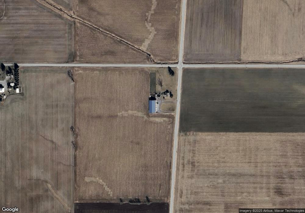
Map
Nearby Homes
- 22227 Us Highway 20a
- 340 S Main St
- 000 W Jackson
- 311 W Rings St
- 205 Taylor Dr
- 3063 County Road 26-2
- 7170 County Road 23
- 24218 State Route 2
- 552 Quail Run
- 433 Primrose Ln
- 305 W Mulberry St
- 23161 County Road Jk
- 300 Degroff Ave
- 301 N Pointe Dr
- 22018 County Road F
- 0 County Road F
- 404 Walnut St
- 301 Horton St
- 0 Lafayette St
- 203 E Williams St
- 22386 County Road K
- 22989 County Road K
- 22989 County Road K
- 26966 County Road G
- 11300 County Road 21n
- 11361 County Road 21n
- 11368 County Road 21n
- 11361 County Road 21
- 10502 County Road 21n
- 10509 County Road 21n
- 11500 County Road 21n
- 10407 County Road 21n
- 11557 County Road 21n
- 10334 County Road 21n
- 6370 County Road 27
- 11017 County Road 22
- 10315 County Road 23
- 26607 County Road G
- 11700 County Road 21n
- 21894 County Road K