10969 Palm Dr Boise, ID 83713
West Boise NeighborhoodEstimated Value: $210,000 - $213,000
--
Bed
--
Bath
--
Sq Ft
4,792
Sq Ft Lot
About This Home
This home is located at 10969 Palm Dr, Boise, ID 83713 and is currently estimated at $211,500. 10969 Palm Dr is a home with nearby schools including Ustick Elementary School, Lewis & Clark Middle School, and Centennial High School.
Ownership History
Date
Name
Owned For
Owner Type
Purchase Details
Closed on
Jun 3, 2010
Sold by
Craig Robert L and Craig Leonai
Bought by
Upton Bryan and Upton Evelyn
Current Estimated Value
Home Financials for this Owner
Home Financials are based on the most recent Mortgage that was taken out on this home.
Original Mortgage
$67,000
Outstanding Balance
$44,438
Interest Rate
4.76%
Mortgage Type
Seller Take Back
Estimated Equity
$167,062
Purchase Details
Closed on
May 18, 2001
Sold by
Stevenson Glen and Stevenson Adelia
Bought by
Craig Robert L and Craig Leona I
Home Financials for this Owner
Home Financials are based on the most recent Mortgage that was taken out on this home.
Original Mortgage
$50,000
Interest Rate
7.03%
Mortgage Type
Seller Take Back
Create a Home Valuation Report for This Property
The Home Valuation Report is an in-depth analysis detailing your home's value as well as a comparison with similar homes in the area
Home Values in the Area
Average Home Value in this Area
Purchase History
| Date | Buyer | Sale Price | Title Company |
|---|---|---|---|
| Upton Bryan | -- | Accommodation | |
| Craig Robert L | -- | First American |
Source: Public Records
Mortgage History
| Date | Status | Borrower | Loan Amount |
|---|---|---|---|
| Open | Upton Bryan | $67,000 | |
| Previous Owner | Craig Robert L | $50,000 |
Source: Public Records
Tax History Compared to Growth
Tax History
| Year | Tax Paid | Tax Assessment Tax Assessment Total Assessment is a certain percentage of the fair market value that is determined by local assessors to be the total taxable value of land and additions on the property. | Land | Improvement |
|---|---|---|---|---|
| 2025 | $576 | $175,600 | -- | -- |
| 2024 | $588 | $174,200 | -- | -- |
| 2023 | $588 | $169,000 | $0 | $0 |
| 2022 | $577 | $171,000 | $0 | $0 |
| 2021 | $476 | $108,600 | $0 | $0 |
| 2020 | $472 | $93,700 | $0 | $0 |
| 2019 | $498 | $76,500 | $0 | $0 |
| 2018 | $487 | $67,400 | $0 | $0 |
| 2017 | $364 | $48,200 | $0 | $0 |
| 2016 | $313 | $40,500 | $0 | $0 |
| 2015 | $427 | $49,000 | $0 | $0 |
| 2012 | -- | $34,200 | $0 | $0 |
Source: Public Records
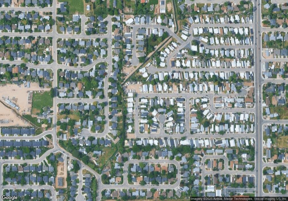
Map
Nearby Homes
- 2281 N Shaelyn Ln
- 2299 N Shaelyn Ln
- 2293 N Shaelyn Ln
- 10742 W Ardyce Ln Unit 11
- 11303 W Tahiti St
- 11336 W Poppy St
- 2573 & 2575 N Dusty Ln
- 11349 W Marlinwood St
- 10838 W Tidewater Ct
- 2104 N Bryson Rd
- 10319 W Ardyce St
- 11288 W Race Ct
- 11459 W Olympus Ct
- 11073 W Garverdale Ln
- 1951 N Hampton Rd Unit B6
- 1722 N Timathy Ln Unit 32/1
- 1716 N Timathy Ln
- 1732 N Shamrock Ave
- 1931 N Delmar St
- 1708 N Timathy Ln Unit Lot 30/1