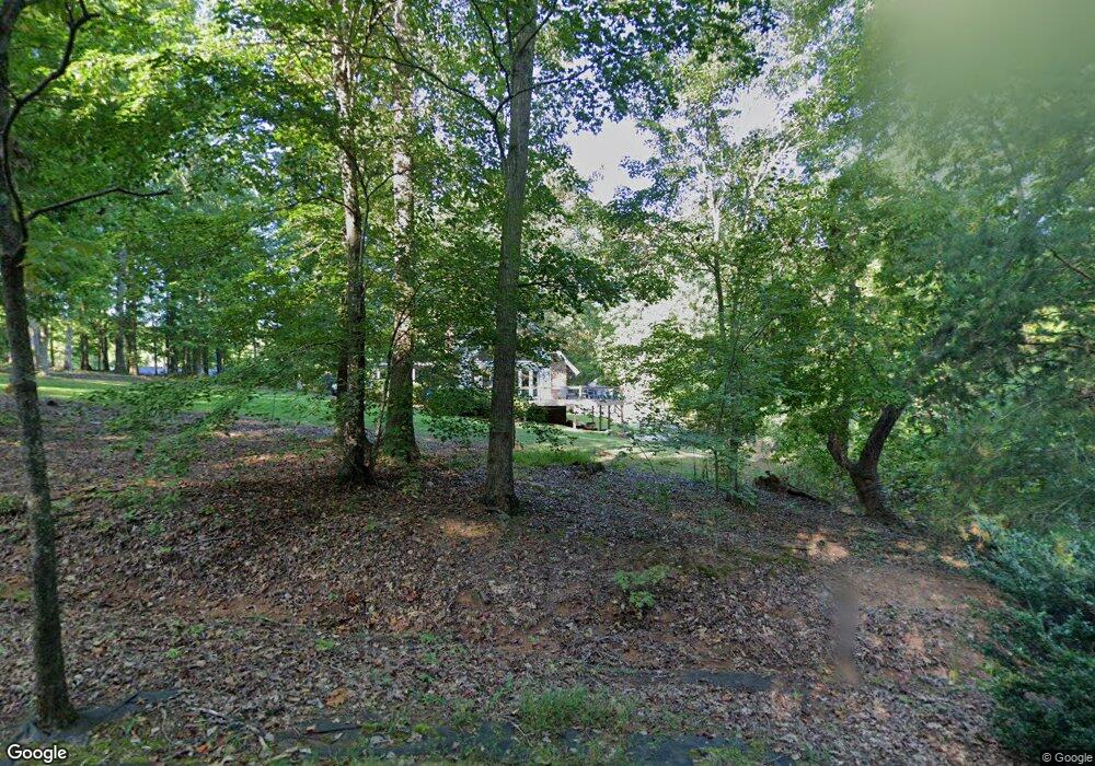
1097 Maple Dr Newton, NC 28658
Estimated Value: $248,451 - $398,000
3
Beds
3
Baths
2,463
Sq Ft
$132/Sq Ft
Est. Value
About This Home
This home is located at 1097 Maple Dr, Newton, NC 28658 and is currently estimated at $325,363, approximately $132 per square foot. 1097 Maple Dr is a home located in Catawba County with nearby schools including Startown Elementary School, Maiden Middle School, and Maiden High School.
Ownership History
Date
Name
Owned For
Owner Type
Purchase Details
Closed on
Apr 30, 2013
Sold by
Wastson Thomas H and Watson Brenda H
Bought by
Kappes Joshua Scott and Kappes Jennifer E
Current Estimated Value
Home Financials for this Owner
Home Financials are based on the most recent Mortgage that was taken out on this home.
Original Mortgage
$4,565
Outstanding Balance
$3,115
Interest Rate
2.75%
Mortgage Type
Unknown
Estimated Equity
$322,248
Purchase Details
Closed on
Feb 1, 1978
Bought by
Watson Brenda H
Create a Home Valuation Report for This Property
The Home Valuation Report is an in-depth analysis detailing your home's value as well as a comparison with similar homes in the area
Home Values in the Area
Average Home Value in this Area
Purchase History
| Date | Buyer | Sale Price | Title Company |
|---|---|---|---|
| Kappes Joshua Scott | $155,000 | None Available | |
| Watson Brenda H | $45,000 | -- |
Source: Public Records
Mortgage History
| Date | Status | Borrower | Loan Amount |
|---|---|---|---|
| Open | Kappes Joshua Scott | $4,565 | |
| Open | Kappes Joshua Scott | $152,192 |
Source: Public Records
Tax History
| Year | Tax Paid | Tax Assessment Tax Assessment Total Assessment is a certain percentage of the fair market value that is determined by local assessors to be the total taxable value of land and additions on the property. | Land | Improvement |
|---|---|---|---|---|
| 2025 | $1,139 | $217,500 | $15,800 | $201,700 |
| 2024 | $1,139 | $217,500 | $15,800 | $201,700 |
| 2023 | $1,139 | $217,500 | $15,800 | $201,700 |
| 2022 | $1,036 | $142,900 | $15,800 | $127,100 |
| 2021 | $1,036 | $142,900 | $15,800 | $127,100 |
| 2020 | $1,036 | $142,900 | $15,800 | $127,100 |
| 2019 | $1,036 | $142,900 | $0 | $0 |
| 2018 | $1,033 | $148,600 | $15,800 | $132,800 |
| 2017 | $1,033 | $0 | $0 | $0 |
| 2016 | $988 | $0 | $0 | $0 |
| 2015 | $940 | $148,600 | $15,800 | $132,800 |
| 2014 | $940 | $156,700 | $23,200 | $133,500 |
Source: Public Records
Map
Nearby Homes
- 1043 Rolling Green Dr
- 1148 Fye Dr
- 1953 Milton St Unit 36
- 1221 Willow Creek Dr
- 2301 Willow Creek Dr
- 2560 Celestial Dr
- 2461 Startown Rd
- 2919 Teton Dr
- 3007 Michelle Dr
- 1852 Wrenley Dr
- 1848 Wrenley Dr
- 1844 Wrenley Dr
- 1616 Lazenby St Unit 17
- 2625 Glenn St
- 0 Lampert St Unit 5-8
- 618 Dazzle Loop
- 00 Herbie Cir
- 583 Dazzle Loop
- 517 Dazzle Loop
- 527 Dazzle Loop
- 1098 Maple Dr
- 1115 Maple Dr
- 1109 Maple Dr
- 1074 Sprucewood Ln
- 1078 Maple Dr
- 1112 Sprucewood Ln
- 1114 Maple Dr
- 1057 Maple Dr
- 1054 Sprucewood Ln
- 1067 Sprucewood Ln
- 1056 Maple Dr
- 1055 Sprucewood Ln
- 1032 Sprucewood Ln
- 1113 Sprucewood Ln
- 1031 Maple Dr
- 1032 Maple Dr
- 1029 Sprucewood Ln
- 0 Beechwood Dr
- 1027 Maple Dr
- 1008 Sprucewood Ln
Your Personal Tour Guide
Ask me questions while you tour the home.