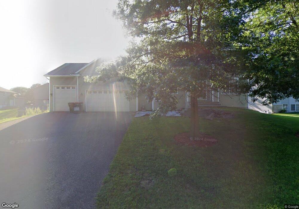
10970 Buchanan Rd NE Minneapolis, MN 55434
Estimated Value: $456,000 - $512,000
4
Beds
4
Baths
3,384
Sq Ft
$145/Sq Ft
Est. Value
About This Home
This home is located at 10970 Buchanan Rd NE, Minneapolis, MN 55434 and is currently estimated at $490,013, approximately $144 per square foot. 10970 Buchanan Rd NE is a home located in Anoka County with nearby schools including Jefferson Elementary School, Northdale Middle School, and Blaine Senior High School.
Ownership History
Date
Name
Owned For
Owner Type
Purchase Details
Closed on
Jun 3, 2021
Sold by
Harunani Dawood and Harunani Salimabanoo
Bought by
Musani Mohamed Kassam
Current Estimated Value
Home Financials for this Owner
Home Financials are based on the most recent Mortgage that was taken out on this home.
Original Mortgage
$250,000
Interest Rate
2.9%
Mortgage Type
Purchase Money Mortgage
Purchase Details
Closed on
Jul 10, 2015
Sold by
Wells Jeremy Jeremy
Bought by
Harunani Dawood Dawood
Purchase Details
Closed on
Sep 26, 2002
Sold by
Younkin David L and Younkin Patricia K
Bought by
Moon Robert N
Purchase Details
Closed on
Jun 12, 2002
Sold by
Noecker Development Llc
Bought by
Younkin David L
Create a Home Valuation Report for This Property
The Home Valuation Report is an in-depth analysis detailing your home's value as well as a comparison with similar homes in the area
Home Values in the Area
Average Home Value in this Area
Purchase History
| Date | Buyer | Sale Price | Title Company |
|---|---|---|---|
| Musani Mohamed Kassam | $325,000 | Avante Title Llc | |
| Harunani Dawood Dawood | $324,000 | -- | |
| Moon Robert N | $75,000 | -- | |
| Younkin David L | $75,000 | -- | |
| Musani Mohamed Mohamed | $325,000 | -- |
Source: Public Records
Mortgage History
| Date | Status | Borrower | Loan Amount |
|---|---|---|---|
| Previous Owner | Musani Mohamed Kassam | $250,000 | |
| Closed | Musani Mohamed Mohamed | $250,000 |
Source: Public Records
Tax History Compared to Growth
Tax History
| Year | Tax Paid | Tax Assessment Tax Assessment Total Assessment is a certain percentage of the fair market value that is determined by local assessors to be the total taxable value of land and additions on the property. | Land | Improvement |
|---|---|---|---|---|
| 2025 | $5,343 | $514,500 | $110,000 | $404,500 |
| 2024 | $5,343 | $499,600 | $108,200 | $391,400 |
| 2023 | $4,737 | $498,400 | $103,000 | $395,400 |
| 2022 | $4,471 | $494,000 | $90,000 | $404,000 |
| 2021 | $4,351 | $410,200 | $75,000 | $335,200 |
| 2020 | $4,551 | $389,200 | $75,000 | $314,200 |
| 2019 | $4,294 | $391,200 | $67,000 | $324,200 |
| 2018 | $4,412 | $360,300 | $0 | $0 |
| 2017 | $3,990 | $360,600 | $0 | $0 |
| 2016 | $4,063 | $327,300 | $0 | $0 |
| 2015 | $4,030 | $327,300 | $64,700 | $262,600 |
| 2014 | -- | $280,300 | $52,000 | $228,300 |
Source: Public Records
Map
Nearby Homes
- 1060 109th Ct NE
- 10753 Tyler Ct NE
- 11038 Polk St NE
- 10809 Tyler Ct NE
- 11213 Fillmore St NE
- 11221 Aberdeen St NE Unit I
- 714 114th Ct NE
- 11125 Baltimore St NE Unit L
- 11365 Pierce St NE
- 961 113th Ave NE
- 11358 Chisholm Cir NE Unit E
- 11132 Club West Cir Unit A
- 10721 Quincy Blvd NE
- 866 113th Ln NE
- 11429 Pierce St NE
- 11345 Fergus St NE Unit D
- 1312 104th Place NE
- 10911 Goodhue St NE Unit D
- 612 111th Ave NE
- 1348 104th Way
- 10984 Buchanan Rd NE
- 10969 Pierce St NE
- 10998 Buchanan Rd NE
- 10998 Buchanan St NE
- 10987 Pierce St NE
- 10953 Pierce St NE
- 10953 10953 Pierce St NE
- 10957 Buchanan Rd NE
- 10971 Buchanan Rd NE
- 11005 Pierce St NE
- 10985 Buchanan Rd NE
- 10935 Pierce St NE
- 10927 Buchanan Rd NE
- 10999 Buchanan Rd NE
- 11008 Buchanan Rd NE
- 11023 Pierce St NE
- 10915 Buchanan Rd NE
- 10968 Pierce St NE
- 10986 Pierce St NE
- 11043 Pierce St NE