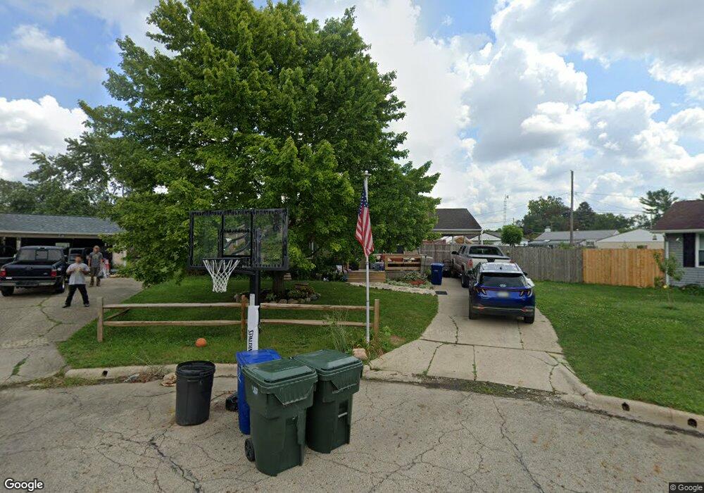
1098 Ardath Ct Columbus, OH 43228
Holly Hill NeighborhoodEstimated Value: $190,691 - $217,000
3
Beds
1
Bath
952
Sq Ft
$217/Sq Ft
Est. Value
About This Home
This home is located at 1098 Ardath Ct, Columbus, OH 43228 and is currently estimated at $206,423, approximately $216 per square foot. 1098 Ardath Ct is a home located in Franklin County with nearby schools including Georgian Heights Alt Elementary School, Wedgewood Middle School, and Briggs High School.
Ownership History
Date
Name
Owned For
Owner Type
Purchase Details
Closed on
Sep 15, 2000
Sold by
Stout Brunton Joseph A and Stout Sheri A
Bought by
Stanley Curtis M and Stanley Mary Lou
Current Estimated Value
Home Financials for this Owner
Home Financials are based on the most recent Mortgage that was taken out on this home.
Original Mortgage
$89,250
Outstanding Balance
$32,252
Interest Rate
7.98%
Mortgage Type
FHA
Estimated Equity
$174,171
Purchase Details
Closed on
Sep 20, 1996
Sold by
Stark John F
Bought by
Brunton Joseph A and Brunton Sherri A
Home Financials for this Owner
Home Financials are based on the most recent Mortgage that was taken out on this home.
Original Mortgage
$78,783
Interest Rate
7.93%
Mortgage Type
FHA
Purchase Details
Closed on
Aug 5, 1988
Create a Home Valuation Report for This Property
The Home Valuation Report is an in-depth analysis detailing your home's value as well as a comparison with similar homes in the area
Home Values in the Area
Average Home Value in this Area
Purchase History
| Date | Buyer | Sale Price | Title Company |
|---|---|---|---|
| Stanley Curtis M | $90,000 | -- | |
| Brunton Joseph A | $79,500 | -- | |
| -- | -- | -- |
Source: Public Records
Mortgage History
| Date | Status | Borrower | Loan Amount |
|---|---|---|---|
| Open | Stanley Curtis M | $89,250 | |
| Closed | Brunton Joseph A | $78,783 |
Source: Public Records
Tax History Compared to Growth
Tax History
| Year | Tax Paid | Tax Assessment Tax Assessment Total Assessment is a certain percentage of the fair market value that is determined by local assessors to be the total taxable value of land and additions on the property. | Land | Improvement |
|---|---|---|---|---|
| 2024 | $2,704 | $60,240 | $16,770 | $43,470 |
| 2023 | $2,669 | $60,235 | $16,765 | $43,470 |
| 2022 | $1,607 | $30,980 | $2,210 | $28,770 |
| 2021 | $1,610 | $30,980 | $2,210 | $28,770 |
| 2020 | $1,612 | $30,980 | $2,210 | $28,770 |
| 2019 | $1,542 | $25,420 | $1,860 | $23,560 |
| 2018 | $1,537 | $25,420 | $1,860 | $23,560 |
| 2017 | $1,541 | $25,420 | $1,860 | $23,560 |
| 2016 | $1,691 | $25,520 | $5,990 | $19,530 |
| 2015 | $1,535 | $25,520 | $5,990 | $19,530 |
| 2014 | $1,538 | $25,520 | $5,990 | $19,530 |
| 2013 | $892 | $29,995 | $7,035 | $22,960 |
Source: Public Records
Map
Nearby Homes
- 3814 Clime Rd
- 3727-3729 Briggs Rd
- 3997 Briggs Rd
- 3551 Glorious Rd
- 3874 Eakin Rd
- 756 Brixham Rd
- 3728 Greenock Ct
- 829 Crevis Ln
- 4190 Salem Dr
- 4146 Sexton Dr
- 1243 Trevor Ct
- 673 Roth Ave
- 4201 Sexton Dr
- 4212 Sexton Dr
- 3360 Briggs Rd
- 781 Stephen Dr W
- 695 Demorest Rd
- 1226 Pinnacle Dr
- 4459 Amwood St
- 3318 Miriam Dr S
- 1090 Ardath Ct
- 1097 Ardath Ct
- 3892 Lexmont Rd S
- 1105 Melwood Dr
- 3884 Lexmont Rd S
- 1113 Melwood Dr
- 3900 Lexmont Rd S
- 1097 Melwood Dr
- 1082 Ardath Ct
- 3908 Lexmont Rd S
- 1093 Ardath Ct
- 1089 Melwood Dr
- 1125 Melwood Dr
- 1085 Ardath Ct
- 3916 Lexmont Rd S
- 3873 Ardath Rd
- 1081 Melwood Dr
- 1077 Ardath Ct
- 1102 Lexmont Rd
- 1094 Lexmont Rd