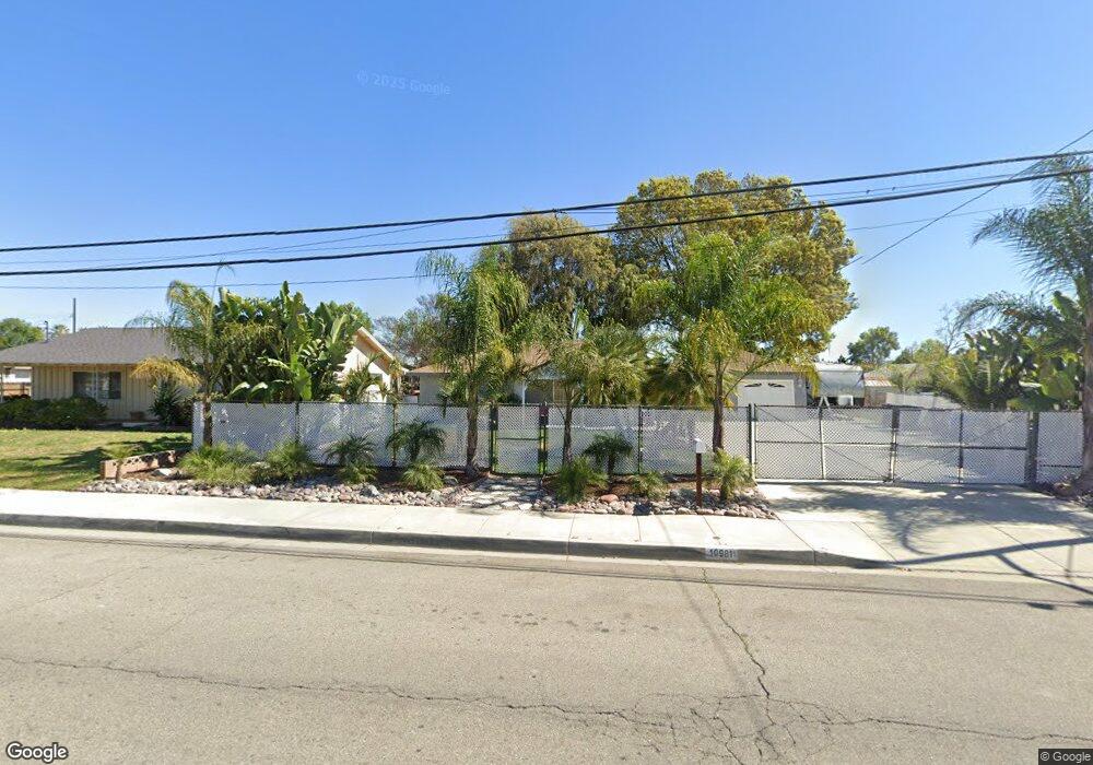
10981 Fremont Ave Montclair, CA 91763
Estimated Value: $673,000 - $758,000
3
Beds
2
Baths
1,388
Sq Ft
$519/Sq Ft
Est. Value
About This Home
This home is located at 10981 Fremont Ave, Montclair, CA 91763 and is currently estimated at $720,223, approximately $518 per square foot. 10981 Fremont Ave is a home located in San Bernardino County with nearby schools including Howard Elementary School, Oaks Middle, and Montclair High School.
Ownership History
Date
Name
Owned For
Owner Type
Purchase Details
Closed on
Mar 7, 2016
Sold by
Hiram & Dorothy Sims Living Trust
Bought by
Ziessler Pamela Karen
Current Estimated Value
Home Financials for this Owner
Home Financials are based on the most recent Mortgage that was taken out on this home.
Original Mortgage
$240,000
Outstanding Balance
$189,959
Interest Rate
3.65%
Mortgage Type
New Conventional
Estimated Equity
$530,264
Purchase Details
Closed on
Oct 20, 1994
Sold by
Sims Hiram L
Bought by
Sims Hiram L and Sims Dorothy
Create a Home Valuation Report for This Property
The Home Valuation Report is an in-depth analysis detailing your home's value as well as a comparison with similar homes in the area
Home Values in the Area
Average Home Value in this Area
Purchase History
| Date | Buyer | Sale Price | Title Company |
|---|---|---|---|
| Ziessler Pamela Karen | $300,000 | Lawyers Title | |
| Sims Hiram L | -- | -- |
Source: Public Records
Mortgage History
| Date | Status | Borrower | Loan Amount |
|---|---|---|---|
| Open | Ziessler Pamela Karen | $240,000 |
Source: Public Records
Tax History Compared to Growth
Tax History
| Year | Tax Paid | Tax Assessment Tax Assessment Total Assessment is a certain percentage of the fair market value that is determined by local assessors to be the total taxable value of land and additions on the property. | Land | Improvement |
|---|---|---|---|---|
| 2025 | $3,822 | $355,141 | $124,299 | $230,842 |
| 2024 | $3,822 | $348,178 | $121,862 | $226,316 |
| 2023 | $3,715 | $341,351 | $119,473 | $221,878 |
| 2022 | $3,666 | $334,657 | $117,130 | $217,527 |
| 2021 | $3,643 | $328,095 | $114,833 | $213,262 |
| 2020 | $3,579 | $324,731 | $113,656 | $211,075 |
| 2019 | $3,549 | $318,363 | $111,427 | $206,936 |
| 2018 | $3,500 | $312,120 | $109,242 | $202,878 |
| 2017 | $3,374 | $306,000 | $107,100 | $198,900 |
| 2016 | $1,627 | $149,653 | $46,877 | $102,776 |
| 2015 | $1,616 | $147,405 | $46,173 | $101,232 |
| 2014 | $1,566 | $144,518 | $45,269 | $99,249 |
Source: Public Records
Map
Nearby Homes
- 5170 San Clemente Way
- 11145 S Central Ave
- 11155 S Central Ave
- 11262 Poulsen Ave
- 10866 Grand Ave
- 4902 Manzanita St
- 11515 Cambria Ct
- 5360 Malibu Way
- 5483 Dover St
- 11591 Cantara Dr
- 5525 Dover St
- 11000 Kimberly Ave
- 1511 W Mission Blvd
- 4444 Merle St
- 11628 Solaire Way
- 5373 Mariner Ln
- 10279 Marion Ave
- 1411 W Mission Blvd
- 10243 Fremont Ave
- 4587 Gold Rush Ct
- 10975 Fremont Ave
- 10989 Fremont Ave
- 10955 Fremont Ave
- 10945 Fremont Ave
- 10991 Fremont Ave
- 10968 Fremont Ave
- 11019 Fremont Ave
- 10996 Fremont Ave
- 10960 Fremont Ave
- 11010 San Rafael Way
- 5141 Mission Blvd
- 5141 Mission Blvd
- 5141 Mission Blvd
- 10984 Fremont Ave
- 10922 San Juan Way
- 10944 Fremont Ave
- 11011 San Rafael Way
- 11029 Fremont Ave
- 5090 Rodeo St
- 11020 San Rafael Way