10990 Highway 140 Eagle Point, OR 97524
Estimated Value: $513,000 - $711,000
2
Beds
3
Baths
1,820
Sq Ft
$327/Sq Ft
Est. Value
About This Home
This home is located at 10990 Highway 140, Eagle Point, OR 97524 and is currently estimated at $595,411, approximately $327 per square foot. 10990 Highway 140 is a home located in Jackson County with nearby schools including Table Rock Elementary School, Eagle Point Middle School, and White Mountain Middle School.
Ownership History
Date
Name
Owned For
Owner Type
Purchase Details
Closed on
Aug 20, 2019
Sold by
Mayfield Edward and Mayfield Joan
Bought by
Caspio Anthony and Caspio Alane
Current Estimated Value
Purchase Details
Closed on
May 18, 2010
Sold by
Mayfield Edward L and Mayfield Joan M
Bought by
Mayfield Edward L and Mayfield Joan M
Create a Home Valuation Report for This Property
The Home Valuation Report is an in-depth analysis detailing your home's value as well as a comparison with similar homes in the area
Home Values in the Area
Average Home Value in this Area
Purchase History
| Date | Buyer | Sale Price | Title Company |
|---|---|---|---|
| Caspio Anthony | -- | None Available | |
| Mayfield Edward L | -- | None Available |
Source: Public Records
Tax History Compared to Growth
Tax History
| Year | Tax Paid | Tax Assessment Tax Assessment Total Assessment is a certain percentage of the fair market value that is determined by local assessors to be the total taxable value of land and additions on the property. | Land | Improvement |
|---|---|---|---|---|
| 2025 | $1,552 | $153,298 | $54,808 | $98,490 |
| 2024 | $1,552 | $148,833 | $53,203 | $95,630 |
| 2023 | $1,499 | $144,503 | $51,653 | $92,850 |
| 2022 | $1,395 | $144,503 | $51,183 | $93,320 |
| 2021 | $1,349 | $140,295 | $49,695 | $90,600 |
| 2020 | $1,485 | $136,211 | $48,251 | $87,960 |
| 2019 | $1,470 | $128,399 | $45,489 | $82,910 |
| 2018 | $1,437 | $124,663 | $44,163 | $80,500 |
| 2017 | $1,403 | $124,663 | $44,163 | $80,500 |
| 2016 | $1,367 | $117,516 | $41,626 | $75,890 |
| 2015 | $1,318 | $117,516 | $41,626 | $75,890 |
| 2014 | $1,279 | $110,780 | $39,230 | $71,550 |
Source: Public Records
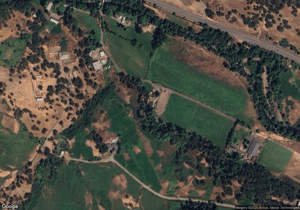
Map
Nearby Homes
- 1300 Worthington Rd
- 766 Meridian Rd
- 2545 Meridian Rd
- 0 Tl 201 Antelope Rd
- 0 Stevens Rd Unit 220193975
- 0 Stevens Rd Unit 23882289
- 0 Stevens Rd Unit 24594260
- 0 Stevens Rd Unit 11556183
- 1918 Stevens Rd
- 4477 E Antelope Rd
- 3850 E Antelope Rd
- 2051 Riley Rd
- 0 Riley Rd Unit 220209029
- 1207 Overlook Dr
- 1319 Crestmont Place
- 1219 Overlook Dr
- 1214 Overlook Dr
- 1297 Stonegate Dr Unit 473
- 5516 Davanna Dr
- 1293 Poppy Ridge Dr
- 11100 Highway 140
- 11100 Hwy 140
- 11100 Highway 140
- 10980 Highway 140
- 10980 Highway 140
- 11010 Highway 140
- 11110 Highway 140
- 10950 Highway 140
- 11185 Highway 140
- 10900 Highway 140
- 11640 Highway 140
- 11100 Oregon 140
- 10755 Highway 140
- 10615 Highway 140
- 10390 Highway 140
- 12155 Highway 140
- 10519 Highway 140
- 10275 Highway 140
- 10270 Highway 140
- 10270 Highway 140