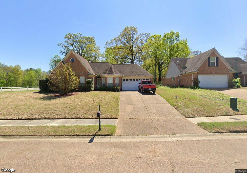
10993 Lexington Dr Olive Branch, MS 38654
Estimated Value: $249,169 - $261,000
3
Beds
2
Baths
1,513
Sq Ft
$170/Sq Ft
Est. Value
About This Home
This home is located at 10993 Lexington Dr, Olive Branch, MS 38654 and is currently estimated at $257,542, approximately $170 per square foot. 10993 Lexington Dr is a home located in DeSoto County with nearby schools including Chickasaw Elementary School, Olive Branch Middle School, and Olive Branch High School.
Ownership History
Date
Name
Owned For
Owner Type
Purchase Details
Closed on
Sep 1, 2023
Sold by
Pinnacle Construction Services Llc
Bought by
Epson Kimberly J and Epson Lavante R
Current Estimated Value
Home Financials for this Owner
Home Financials are based on the most recent Mortgage that was taken out on this home.
Original Mortgage
$271,375
Outstanding Balance
$265,423
Interest Rate
6.78%
Mortgage Type
FHA
Estimated Equity
-$7,881
Create a Home Valuation Report for This Property
The Home Valuation Report is an in-depth analysis detailing your home's value as well as a comparison with similar homes in the area
Home Values in the Area
Average Home Value in this Area
Purchase History
| Date | Buyer | Sale Price | Title Company |
|---|---|---|---|
| Epson Kimberly J | -- | Perfect Title | |
| Epson Kimberly J | -- | Perfect Title |
Source: Public Records
Mortgage History
| Date | Status | Borrower | Loan Amount |
|---|---|---|---|
| Open | Epson Kimberly J | $271,375 | |
| Closed | Epson Kimberly J | $271,375 |
Source: Public Records
Tax History Compared to Growth
Tax History
| Year | Tax Paid | Tax Assessment Tax Assessment Total Assessment is a certain percentage of the fair market value that is determined by local assessors to be the total taxable value of land and additions on the property. | Land | Improvement |
|---|---|---|---|---|
| 2024 | $1,468 | $10,755 | $2,000 | $8,755 |
| 2023 | $1,468 | $10,755 | $0 | $0 |
| 2022 | $1,468 | $10,755 | $2,000 | $8,755 |
| 2021 | $1,468 | $10,755 | $2,000 | $8,755 |
| 2020 | $1,372 | $10,055 | $2,000 | $8,055 |
| 2019 | $1,439 | $10,547 | $2,000 | $8,547 |
| 2017 | $1,414 | $18,606 | $10,303 | $8,303 |
| 2016 | $1,477 | $10,764 | $2,000 | $8,764 |
| 2015 | $1,477 | $19,528 | $10,764 | $8,764 |
| 2014 | $1,477 | $10,764 | $0 | $0 |
| 2013 | $1,434 | $10,764 | $0 | $0 |
Source: Public Records
Map
Nearby Homes
- 5155 Rolling Pine Cir
- 10640 Mississippi 178
- 5816 Rolling Pine Dr N
- 10719 Highway 178
- 6144 Magnolia Lakes Dr
- 10321 Loftin Dr
- 10862 Wiseman Dr
- 10262 March Meadows Way
- 10369 French Fort Dr
- 9490 Mississippi 178
- 5480 Polk Ln
- 2 Bethel Rd
- 1 Bethel Rd
- 6032 Robby Cove
- 6729 Branch Rd S
- 5806 Southbend Ln
- 6741 Hacks Cross Rd
- 7550 Old Highway 78
- 10890 Mississippi 178
- 12190 Whispering Pines Dr
- 10981 Lexington Dr
- 10969 Lexington Dr
- 5510 Hacks Cross Rd
- 10957 Lexington Dr
- 5624 Hacks Cross Rd
- 10939 Lexington Dr
- 5528 Bedford Cove
- 5531 Hacks Cross Rd
- 5516 Bedford Cove
- 10942 Lexington Dr
- 5740 Bedford Loop
- 5510 Bedford Cove
- 5653 Hacks Cross Rd
- 5606 Camden Cove
- 5618 Camden Cove
- 10921 Lexington Dr
- 5504 Bedford Cove
- 10918 Lexington Dr
- 5681 Hacks Cross Rd
- 5435 Hacks Cross Rd