10997 New England Rd Constantine, MI 49042
Estimated Value: $226,000 - $445,000
Studio
1
Bath
1,400
Sq Ft
$248/Sq Ft
Est. Value
About This Home
This home is located at 10997 New England Rd, Constantine, MI 49042 and is currently estimated at $346,796, approximately $247 per square foot. 10997 New England Rd is a home located in St. Joseph County.
Ownership History
Date
Name
Owned For
Owner Type
Purchase Details
Closed on
May 8, 2019
Sold by
Petit Robert J
Bought by
Miller Steven R
Current Estimated Value
Home Financials for this Owner
Home Financials are based on the most recent Mortgage that was taken out on this home.
Original Mortgage
$247,000
Outstanding Balance
$216,276
Interest Rate
4%
Mortgage Type
New Conventional
Estimated Equity
$130,520
Purchase Details
Closed on
Nov 7, 1996
Purchase Details
Closed on
Feb 29, 1996
Purchase Details
Closed on
Jan 1, 1901
Create a Home Valuation Report for This Property
The Home Valuation Report is an in-depth analysis detailing your home's value as well as a comparison with similar homes in the area
Purchase History
| Date | Buyer | Sale Price | Title Company |
|---|---|---|---|
| Miller Steven R | $260,000 | Patrick Abstract & Ttl Offic | |
| -- | -- | -- | |
| -- | -- | -- | |
| -- | -- | -- |
Source: Public Records
Mortgage History
| Date | Status | Borrower | Loan Amount |
|---|---|---|---|
| Open | Miller Steven R | $247,000 |
Source: Public Records
Tax History
| Year | Tax Paid | Tax Assessment Tax Assessment Total Assessment is a certain percentage of the fair market value that is determined by local assessors to be the total taxable value of land and additions on the property. | Land | Improvement |
|---|---|---|---|---|
| 2025 | $1,245 | $176,000 | $77,300 | $98,700 |
| 2024 | $1,211 | $163,200 | $77,300 | $85,900 |
| 2023 | $1,154 | $152,100 | $77,300 | $74,800 |
| 2022 | $0 | $145,300 | $77,300 | $68,000 |
| 2021 | $0 | $107,100 | $48,000 | $59,100 |
| 2020 | $1,052 | $99,700 | $48,000 | $51,700 |
| 2019 | $1,438 | $95,100 | $48,000 | $47,100 |
| 2018 | $1,340 | $92,500 | $48,000 | $44,500 |
| 2017 | $1,325 | $93,700 | $93,700 | $0 |
| 2016 | -- | $94,100 | $94,100 | $0 |
| 2015 | -- | $78,500 | $0 | $0 |
| 2014 | -- | $77,700 | $77,700 | $0 |
| 2012 | -- | $75,800 | $75,800 | $0 |
Source: Public Records
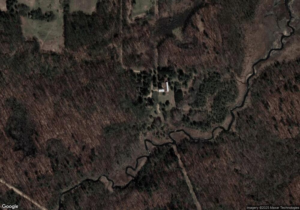
Map
Nearby Homes
- 10241 Bair Lake St
- 13072 Garber Rd
- 63779 Youngs Prairie Rd
- 12901 Millers Mill Rd
- 60711 Dudd Rd
- 11008 Corey Lake Rd
- 64554 Michigan 40
- 12039 Bair Lake St
- 12575 Bair Lake St
- 12161 Bair Lake St - Garage
- 10436 Kings Point Dr
- 59688 Summit St
- 12377 Bair Lake St
- 12377 Bair Lake St Unit 4
- 66991 Winding River Rd
- V/L Timberlane Dr
- 303 Spring St
- 64588 W North Park Dr
- 135 Jeremy St
- 67118 Oxbow Dr
- 11161 New England Rd
- 11101 New England Rd
- 11023 New England Rd
- 11231 New England Rd
- 10902 Preston Rd
- 10754 New England Rd
- 10536 Preston Rd
- 63185 Beers Rd
- 63211 Beers Rd
- 63095 Beers Rd
- 10541 Preston Rd
- 63279 Beers Rd
- 63095 Beers Rd
- 63510 Peck Academy Rd
- 62639 Beers Rd
- 62523 Beers Rd
- 62811 Beers Rd
- 62811 Beers Rd
- 62747 Beers Rd
- 62669 Beers Rd
Your Personal Tour Guide
Ask me questions while you tour the home.