10B Canney Rd New Durham, NH 03855
Estimated Value: $375,554 - $441,000
3
Beds
2
Baths
1,000
Sq Ft
$400/Sq Ft
Est. Value
About This Home
This home is located at 10B Canney Rd, New Durham, NH 03855 and is currently estimated at $399,639, approximately $399 per square foot. 10B Canney Rd is a home with nearby schools including New Durham Elementary School, Kingswood Regional Middle School, and Kingswood Regional High School.
Ownership History
Date
Name
Owned For
Owner Type
Purchase Details
Closed on
Nov 3, 2014
Sold by
Blair Debora A
Bought by
Fhlmc
Current Estimated Value
Purchase Details
Closed on
Sep 29, 2004
Sold by
Pl Terry J and Pl Gwendolyn M
Bought by
Blair Debora A
Home Financials for this Owner
Home Financials are based on the most recent Mortgage that was taken out on this home.
Original Mortgage
$136,900
Interest Rate
5.81%
Mortgage Type
Purchase Money Mortgage
Purchase Details
Closed on
Aug 30, 2002
Sold by
Bank One
Bought by
Pl Terry J and Pl Gwendolyn M
Home Financials for this Owner
Home Financials are based on the most recent Mortgage that was taken out on this home.
Original Mortgage
$117,075
Interest Rate
6.55%
Purchase Details
Closed on
Jul 10, 2002
Sold by
Smith Gary M and Smith Joan M
Bought by
Bank One
Home Financials for this Owner
Home Financials are based on the most recent Mortgage that was taken out on this home.
Original Mortgage
$117,075
Interest Rate
6.55%
Purchase Details
Closed on
Feb 28, 2000
Sold by
Cbi-Usa Inc
Bought by
Smith Gary M and Smith Joan M
Home Financials for this Owner
Home Financials are based on the most recent Mortgage that was taken out on this home.
Original Mortgage
$77,250
Interest Rate
8.15%
Create a Home Valuation Report for This Property
The Home Valuation Report is an in-depth analysis detailing your home's value as well as a comparison with similar homes in the area
Home Values in the Area
Average Home Value in this Area
Purchase History
| Date | Buyer | Sale Price | Title Company |
|---|---|---|---|
| Fhlmc | $142,000 | -- | |
| Blair Debora A | $161,900 | -- | |
| Pl Terry J | $118,000 | -- | |
| Bank One | $91,000 | -- | |
| Smith Gary M | $103,000 | -- |
Source: Public Records
Mortgage History
| Date | Status | Borrower | Loan Amount |
|---|---|---|---|
| Previous Owner | Smith Gary M | $43,825 | |
| Previous Owner | Smith Gary M | $136,900 | |
| Previous Owner | Smith Gary M | $117,075 | |
| Previous Owner | Smith Gary M | $77,250 |
Source: Public Records
Tax History Compared to Growth
Tax History
| Year | Tax Paid | Tax Assessment Tax Assessment Total Assessment is a certain percentage of the fair market value that is determined by local assessors to be the total taxable value of land and additions on the property. | Land | Improvement |
|---|---|---|---|---|
| 2024 | $3,445 | $177,300 | $67,600 | $109,700 |
| 2023 | $3,546 | $177,300 | $67,600 | $109,700 |
| 2022 | $3,177 | $177,300 | $67,600 | $109,700 |
| 2021 | $3,167 | $177,300 | $67,600 | $109,700 |
| 2020 | $2,993 | $177,300 | $67,600 | $109,700 |
| 2019 | $3,288 | $138,600 | $54,500 | $84,100 |
| 2018 | $3,248 | $139,100 | $54,500 | $84,600 |
| 2017 | $3,202 | $139,100 | $54,500 | $84,600 |
| 2016 | $3,166 | $139,100 | $54,500 | $84,600 |
| 2015 | $3,081 | $139,100 | $54,500 | $84,600 |
| 2014 | $3,321 | $152,000 | $59,800 | $92,200 |
| 2013 | -- | $152,000 | $59,800 | $92,200 |
Source: Public Records
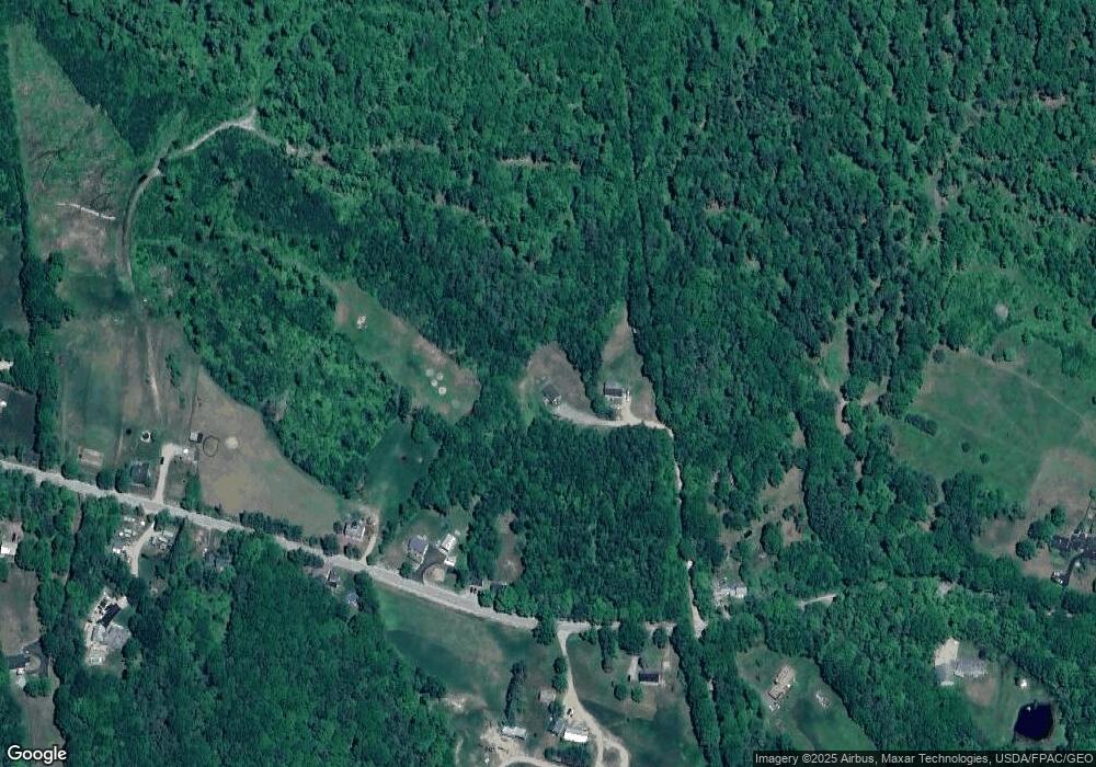
Map
Nearby Homes
- Lot 3 Ridge Rd
- 171 Berry Rd
- 24 Ragged Mountain Rd
- 176 Valley Rd
- 400 New Hampshire 11
- 00 Berry Rd Unit 17-8-1
- 90 Old Bay Rd
- 222 Old Bay Rd
- 1204 Nh Route 11
- 0 Birch Hill Rd Unit 21
- 0 Chamberlain Rd Unit 11 5061842
- 42 Trotting Park Rd
- 547 Suncook Valley Rd
- 71 Main St
- 503 Suncook Valley Rd
- Map 5 Lot 14-3 Stockbridge Corner Rd
- 22 Stonewall Dr
- 163 Central St
- 350 Heron Point Rd
- 127 Merrymeeting Ln