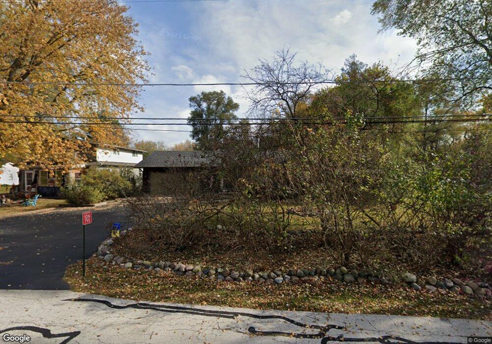
10N917 Hawthorne St Elgin, IL 60123
College Park McIntosh NeighborhoodEstimated Value: $324,000 - $358,530
4
Beds
2
Baths
1,592
Sq Ft
$211/Sq Ft
Est. Value
About This Home
This home is located at 10N917 Hawthorne St, Elgin, IL 60123 and is currently estimated at $336,633, approximately $211 per square foot. 10N917 Hawthorne St is a home located in Kane County with nearby schools including Hillcrest Elementary School, Abbott Middle School, and Larkin High School.
Ownership History
Date
Name
Owned For
Owner Type
Purchase Details
Closed on
Aug 30, 2017
Sold by
The Cross Family Partnership
Bought by
Speweik Mithcell V
Current Estimated Value
Home Financials for this Owner
Home Financials are based on the most recent Mortgage that was taken out on this home.
Original Mortgage
$144,800
Outstanding Balance
$99,968
Interest Rate
3.92%
Mortgage Type
New Conventional
Estimated Equity
$236,665
Purchase Details
Closed on
Jul 6, 1998
Sold by
Cross Joyce W and Cross Wanda L
Bought by
The Cross Family Partnership
Create a Home Valuation Report for This Property
The Home Valuation Report is an in-depth analysis detailing your home's value as well as a comparison with similar homes in the area
Home Values in the Area
Average Home Value in this Area
Purchase History
| Date | Buyer | Sale Price | Title Company |
|---|---|---|---|
| Speweik Mithcell V | $101,000 | Attorneys Title Agency Llc | |
| The Cross Family Partnership | -- | -- |
Source: Public Records
Mortgage History
| Date | Status | Borrower | Loan Amount |
|---|---|---|---|
| Open | Speweik Mithcell V | $144,800 |
Source: Public Records
Tax History Compared to Growth
Tax History
| Year | Tax Paid | Tax Assessment Tax Assessment Total Assessment is a certain percentage of the fair market value that is determined by local assessors to be the total taxable value of land and additions on the property. | Land | Improvement |
|---|---|---|---|---|
| 2024 | $6,396 | $95,393 | $26,361 | $69,032 |
| 2023 | $6,080 | $86,180 | $23,815 | $62,365 |
| 2022 | $5,791 | $78,581 | $21,715 | $56,866 |
| 2021 | $5,450 | $73,468 | $20,302 | $53,166 |
| 2020 | $5,280 | $70,136 | $19,381 | $50,755 |
| 2019 | $5,082 | $66,809 | $18,462 | $48,347 |
| 2018 | $4,990 | $62,938 | $17,392 | $45,546 |
| 2017 | $4,738 | $59,499 | $16,442 | $43,057 |
| 2016 | $4,506 | $55,199 | $15,254 | $39,945 |
| 2015 | -- | $50,595 | $13,982 | $36,613 |
| 2014 | -- | $49,970 | $13,809 | $36,161 |
| 2013 | -- | $38,916 | $14,173 | $24,743 |
Source: Public Records
Map
Nearby Homes
- 10N980 Hawthorne St
- 252 Nautical Way Unit 7C
- 2366 South St Unit F
- 11N312 Gale St
- 475 S Belmont Ave Unit 1
- 005 South St
- 140 S Lyle Ave
- 1-11 South St
- 40 Acres Randall Rd
- 92 N Airlite St
- 500 S Randall Rd
- 1560 Pamela Dr
- 186 Westgate Dr
- 219 Brookside Dr
- 2705 Colonial Dr
- 2022 Torino Dr
- 2038 College Green Dr
- 1996 College Green Dr
- 70 S Weston Ave
- 761 Verde Vista Ct Unit 611F
- 10N915 Hawthorne St
- 10N939 Hawthorne St
- 10N891 Hawthorne St
- 10N949 Hawthorne St
- 10N898 Hawthorne St
- 10N865 Hawthorne St
- 10N948 Hawthorne St
- 10N866 Hawthorne St
- 10N966 Hawthorne St
- 10N981 Hawthorne St
- 10N845 Hawthorne St
- 36W465 Erie St
- 2870 Hawthorne St
- 36W441 Erie St
- 10N827 Hawthorne St
- 10N840 Hawthorne St
- 10N912 S Airlite St
- 10N852 S Airlite St
- 10N815 Hawthorne St
- 36W555 Erie St