10S198 Route 59 Naperville, IL 60564
White Eagle NeighborhoodEstimated Value: $488,000 - $738,000
3
Beds
2
Baths
99,752
Sq Ft
$6/Sq Ft
Est. Value
About This Home
This home is located at 10S198 Route 59, Naperville, IL 60564 and is currently estimated at $605,597, approximately $6 per square foot. 10S198 Route 59 is a home located in Will County with nearby schools including White Eagle Elementary School, Still Middle School, and Waubonsie Valley High School.
Ownership History
Date
Name
Owned For
Owner Type
Purchase Details
Closed on
Jun 15, 2012
Sold by
Marrone Phillip S and Marrone Vincent A
Bought by
Almare Development Company Inc
Current Estimated Value
Purchase Details
Closed on
Mar 18, 1996
Sold by
Miller Wayne A and Miller Mary Lou
Bought by
Marrone Philip S and Marrone Vincent A
Home Financials for this Owner
Home Financials are based on the most recent Mortgage that was taken out on this home.
Original Mortgage
$131,200
Interest Rate
8.25%
Create a Home Valuation Report for This Property
The Home Valuation Report is an in-depth analysis detailing your home's value as well as a comparison with similar homes in the area
Home Values in the Area
Average Home Value in this Area
Purchase History
| Date | Buyer | Sale Price | Title Company |
|---|---|---|---|
| Almare Development Company Inc | -- | None Available | |
| Marrone Philip S | $164,000 | Wheatland Title |
Source: Public Records
Mortgage History
| Date | Status | Borrower | Loan Amount |
|---|---|---|---|
| Previous Owner | Marrone Philip S | $131,200 |
Source: Public Records
Tax History
| Year | Tax Paid | Tax Assessment Tax Assessment Total Assessment is a certain percentage of the fair market value that is determined by local assessors to be the total taxable value of land and additions on the property. | Land | Improvement |
|---|---|---|---|---|
| 2024 | $7,186 | $114,804 | $62,010 | $52,794 |
| 2023 | $7,186 | $101,417 | $54,779 | $46,638 |
| 2022 | $6,987 | $95,939 | $51,820 | $44,119 |
| 2021 | $6,329 | $91,370 | $49,352 | $42,018 |
| 2020 | $6,257 | $89,922 | $48,570 | $41,352 |
| 2019 | $6,120 | $87,388 | $47,201 | $40,187 |
| 2018 | $6,114 | $85,465 | $46,162 | $39,303 |
| 2017 | $6,038 | $83,258 | $44,970 | $38,288 |
| 2016 | $6,026 | $81,466 | $44,002 | $37,464 |
| 2015 | $6,127 | $78,333 | $42,310 | $36,023 |
| 2014 | $6,127 | $78,333 | $42,310 | $36,023 |
| 2013 | $6,127 | $78,333 | $42,310 | $36,023 |
Source: Public Records
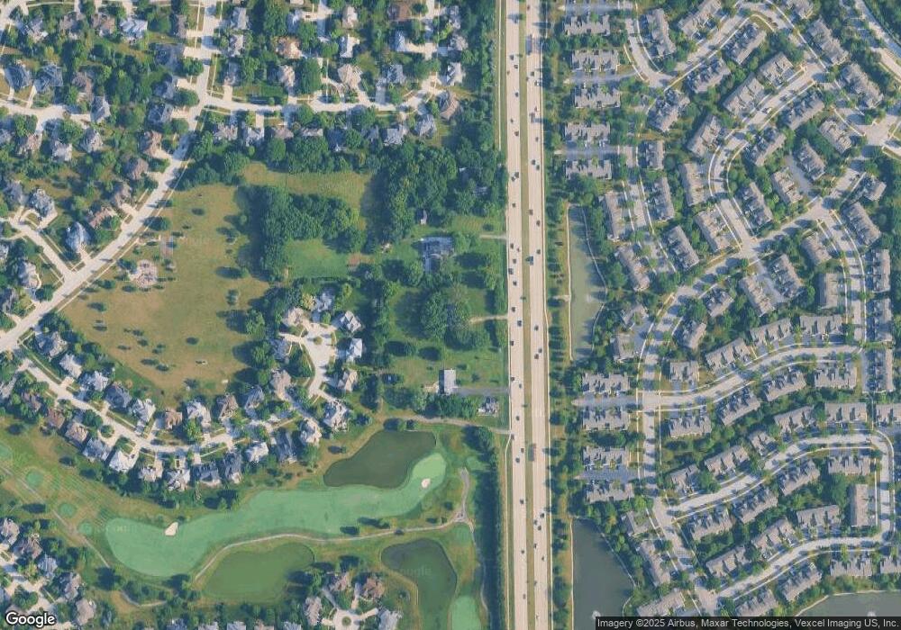
Map
Nearby Homes
- 10S198 Route 59
- 2204 Waterleaf Ct Unit CT104
- 2835 Rutland Cir Unit 202
- 2809 Alameda Ct
- 3316 Club Ct
- 1512 Harbour Towne Place
- 1503 Wexford Place
- 2552 Dewes Ln
- 3559 Scottsdale Cir
- 2363 Fawn Lake Cir
- 4005 White Eagle Dr
- 2311 Leverenz Rd
- 2423 Durango Ln
- 3451 Parliament Ln
- 2828 Bluewater Cir
- 3942 Broadmoor Cir
- 9S271 Stearman Dr
- 2615 Cranbrook St
- 3507 Grassmere Rd Unit IV
- 3060 Crystal Rock Rd
- 10S188 Route 59
- 10S188 Route 59
- 10S188 Route 59
- 10S252 Route 59
- 3108 Treesdale Ct
- 10S158 Route 59
- 3116 Treesdale Ct
- 3104 Treesdale Ct
- 3120 Treesdale Ct
- 2419 Sheehan Dr Unit 102
- 2419 Sheehan Dr Unit 104
- 2419 Sheehan Dr Unit 202
- 2419 Sheehan Dr Unit 203
- 2419 Sheehan Dr Unit 201
- 2419 Sheehan Dr Unit 204
- 2419 Sheehan Dr Unit 103
- 2419 Sheehan Dr Unit 101
- 2419 Sheehan Dr Unit 2
- 3107 Treesdale Ct
- 2411 Sheehan Dr Unit 102
Your Personal Tour Guide
Ask me questions while you tour the home.