10S198 Route 59 Naperville, IL 60564
White Eagle NeighborhoodEstimated Value: $824,000 - $946,000
About This Home
This home is located at 10S198 Route 59, Naperville, IL 60564 and is currently estimated at $913,522, approximately $489 per square foot. 10S198 Route 59 is a home located in Will County with nearby schools including White Eagle Elementary School, Still Middle School, and Waubonsie Valley High School.
Ownership History
We collect this data history from publicly available records. To have your information removed, we recommend requesting removal directly through your county’s website.
Purchase Details
Purchase Details
Home Financials for this Owner
Home Financials are based on the most recent Mortgage that was taken out on this home.Home Values in the Area
Average Home Value in this Area
Purchase History
We collect this data history from publicly available records. To have your information removed, we recommend requesting removal directly through your county’s website.
| Date | Buyer | Sale Price | Title Company |
|---|---|---|---|
| -- | None Available | ||
| $164,000 | Wheatland Title |
Mortgage History
We collect this data history from publicly available records. To have your information removed, we recommend requesting removal directly through your county’s website.
| Date | Status | Borrower | Loan Amount |
|---|---|---|---|
| Previous Owner | $131,200 |
Tax History
We collect this data history from publicly available records. To have your information removed, we recommend requesting removal directly through your county’s website.
| Year | Tax Paid | Tax Assessment Tax Assessment Total Assessment is a certain percentage of the fair market value that is determined by local assessors to be the total taxable value of land and additions on the property. | Land | Improvement |
|---|---|---|---|---|
| 2024 | $7,523 | $114,804 | $62,010 | $52,794 |
| 2023 | $7,186 | $101,417 | $54,779 | $46,638 |
| 2022 | $6,987 | $95,939 | $51,820 | $44,119 |
| 2021 | $6,329 | $91,370 | $49,352 | $42,018 |
| 2020 | $6,257 | $89,922 | $48,570 | $41,352 |
| 2019 | $6,120 | $87,388 | $47,201 | $40,187 |
| 2018 | $6,114 | $85,465 | $46,162 | $39,303 |
| 2017 | $6,038 | $83,258 | $44,970 | $38,288 |
| 2016 | $6,026 | $81,466 | $44,002 | $37,464 |
| 2015 | $6,127 | $78,333 | $42,310 | $36,023 |
| 2014 | $6,127 | $78,333 | $42,310 | $36,023 |
| 2013 | $6,127 | $78,333 | $42,310 | $36,023 |
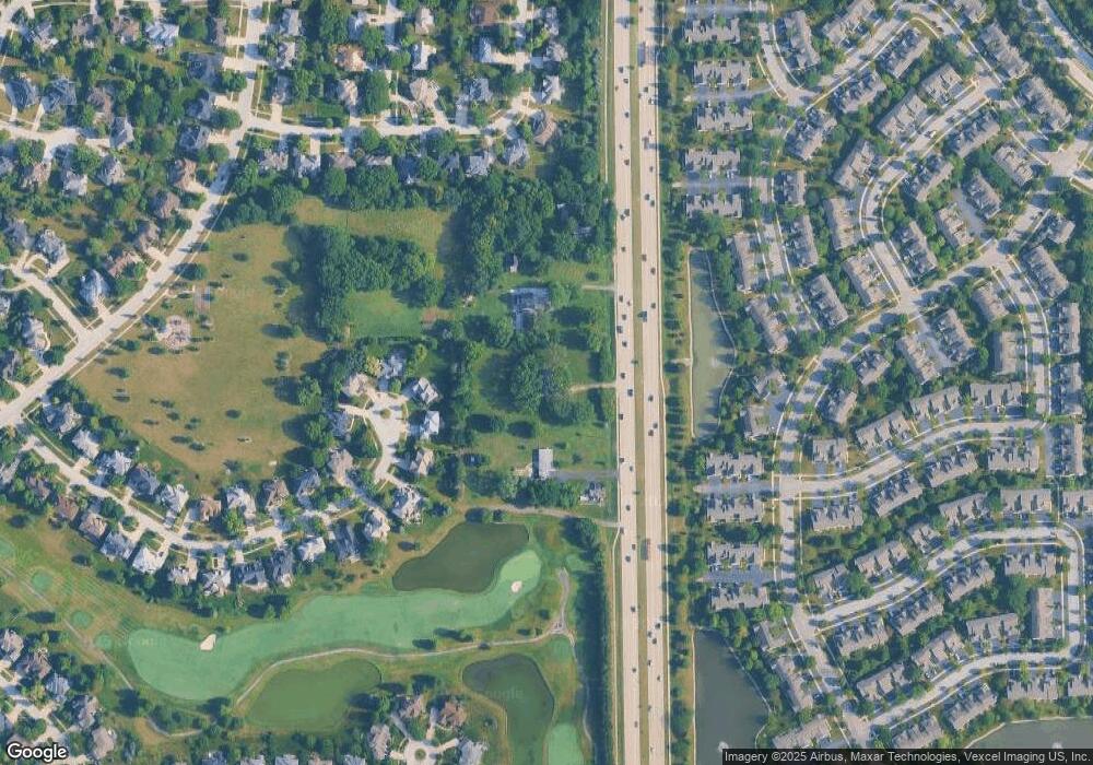
Map
- 10S198 Route 59
- 2950 Rutland Cir
- 2822 Gypsum Cir
- 2916 Sheehan Dr Unit 1
- 2827 Rutland Cir Unit 204
- 2904 Bartlett Ct Unit 102
- 2008 Palmer Dr
- 4355 Pine Lake Dr
- 2615 Saddlebrook Dr
- 3316 Club Ct
- 2612 Charlestowne Ln
- 2603 Charlestowne Ln
- 2123 Skylane Dr
- 2712 Stockton Rd
- 2412 Shaker Ct
- 3547 Scottsdale Cir
- 4256 Stableford Ln
- 2810 Ledgestone Ct
- 2939 Reflection Dr
- 4072 Broadmoor Cir
- 10S188 Route 59
- 10S188 Route 59
- 10S188 Route 59
- 10S252 Route 59
- 3108 Treesdale Ct
- 10S158 Route 59
- 3116 Treesdale Ct
- 3104 Treesdale Ct
- 3120 Treesdale Ct
- 2419 Sheehan Dr Unit 102
- 2419 Sheehan Dr Unit 104
- 2419 Sheehan Dr Unit 202
- 2419 Sheehan Dr Unit 203
- 2419 Sheehan Dr Unit 201
- 2419 Sheehan Dr Unit 204
- 2419 Sheehan Dr Unit 103
- 2419 Sheehan Dr Unit 101
- 2419 Sheehan Dr Unit 2
- 3107 Treesdale Ct
- 2411 Sheehan Dr Unit 102
Ask me questions while you tour the home.