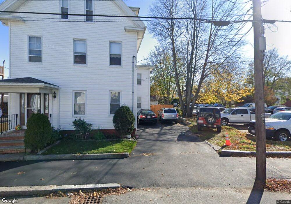
11 1/2 Proctor St Gloucester, MA 01930
Central Gloucester NeighborhoodEstimated Value: $590,205 - $677,000
2
Beds
2
Baths
1,734
Sq Ft
$376/Sq Ft
Est. Value
About This Home
This home is located at 11 1/2 Proctor St, Gloucester, MA 01930 and is currently estimated at $652,051, approximately $376 per square foot. 11 1/2 Proctor St is a home located in Essex County with nearby schools including Beeman Memorial, Ralph B O'maley Middle School, and Gloucester High School.
Ownership History
Date
Name
Owned For
Owner Type
Purchase Details
Closed on
Jul 24, 2009
Sold by
Ferrante Joseph and Ferrante Frances R
Bought by
Ferrante Ann-Margaret
Current Estimated Value
Home Financials for this Owner
Home Financials are based on the most recent Mortgage that was taken out on this home.
Original Mortgage
$100,000
Outstanding Balance
$66,156
Interest Rate
5.58%
Mortgage Type
Purchase Money Mortgage
Estimated Equity
$585,895
Create a Home Valuation Report for This Property
The Home Valuation Report is an in-depth analysis detailing your home's value as well as a comparison with similar homes in the area
Home Values in the Area
Average Home Value in this Area
Purchase History
| Date | Buyer | Sale Price | Title Company |
|---|---|---|---|
| Ferrante Ann-Margaret | $100,000 | -- |
Source: Public Records
Mortgage History
| Date | Status | Borrower | Loan Amount |
|---|---|---|---|
| Open | Ferrante Ann-Margaret | $10,000 | |
| Open | Ferrante Ann-Margaret | $100,000 | |
| Previous Owner | Ferrante Ann-Margaret | $71,000 |
Source: Public Records
Tax History Compared to Growth
Tax History
| Year | Tax Paid | Tax Assessment Tax Assessment Total Assessment is a certain percentage of the fair market value that is determined by local assessors to be the total taxable value of land and additions on the property. | Land | Improvement |
|---|---|---|---|---|
| 2025 | $5,149 | $529,200 | $115,000 | $414,200 |
| 2024 | $5,149 | $529,200 | $115,000 | $414,200 |
| 2023 | $4,914 | $464,000 | $102,700 | $361,300 |
| 2022 | $4,753 | $405,200 | $89,300 | $315,900 |
| 2021 | $4,583 | $368,400 | $81,200 | $287,200 |
| 2020 | $4,541 | $368,300 | $81,200 | $287,100 |
| 2019 | $4,287 | $337,800 | $81,200 | $256,600 |
| 2018 | $4,094 | $316,600 | $81,200 | $235,400 |
| 2017 | $3,906 | $296,100 | $73,100 | $223,000 |
| 2016 | $3,714 | $272,900 | $73,100 | $199,800 |
| 2015 | $3,193 | $233,900 | $73,100 | $160,800 |
Source: Public Records
Map
Nearby Homes
- 15 Columbia St
- 33 Middle St
- 90 Middle St Unit L
- 40 Middle St Unit 2
- 56 Washington St
- 5 Washington Square
- 191 Main St Unit 2B
- 191 Main St Unit 2A
- 191 Main St Unit 3
- 13 Maplewood Ave
- 9 Foster St Unit 1
- 9 Foster St Unit 2
- 8 Summer St Unit 103
- 5 Babson St Unit 2
- 1 Alpine Ct
- 274 Main St Unit 5
- 34 Cleveland St
- 13 1/2 Cleveland St
- 24 Millett St
- 300 Main St
- 13 Proctor St
- 13 Proctor St Unit 2
- 13 Proctor St Unit 3
- 11 Proctor St
- 17 Proctor St Unit 1
- 64 Middle St
- 0 Seeall Street (Off)
- 5 Proctor St
- 58 Middle St
- 10 Proctor St
- 8 Proctor St
- 12 Proctor St
- 14 Proctor St
- 6 Proctor St
- 6 Proctor St Unit DWI
- 18 Proctor St Unit 2,1
- 57 Middle St Unit 3
- 57 Middle St Unit 2
- 57 Middle St Unit 1
- 51 Middle St