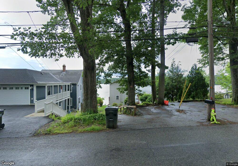
11 1/2 W Sutton Rd Sutton, MA 01590
Estimated Value: $526,000 - $719,000
2
Beds
2
Baths
1,436
Sq Ft
$445/Sq Ft
Est. Value
About This Home
This home is located at 11 1/2 W Sutton Rd, Sutton, MA 01590 and is currently estimated at $639,031, approximately $445 per square foot. 11 1/2 W Sutton Rd is a home located in Worcester County with nearby schools including Sutton Elementary School, Sutton Middle School, and Sutton High School.
Create a Home Valuation Report for This Property
The Home Valuation Report is an in-depth analysis detailing your home's value as well as a comparison with similar homes in the area
Home Values in the Area
Average Home Value in this Area
Tax History
| Year | Tax Paid | Tax Assessment Tax Assessment Total Assessment is a certain percentage of the fair market value that is determined by local assessors to be the total taxable value of land and additions on the property. | Land | Improvement |
|---|---|---|---|---|
| 2025 | $6,485 | $539,500 | $265,700 | $273,800 |
| 2024 | $6,512 | $513,600 | $233,400 | $280,200 |
| 2023 | $6,475 | $467,500 | $211,100 | $256,400 |
| 2022 | $5,703 | $375,665 | $160,765 | $214,900 |
| 2021 | $5,467 | $341,700 | $160,800 | $180,900 |
| 2020 | $5,240 | $330,400 | $160,800 | $169,600 |
| 2019 | $5,001 | $302,700 | $151,900 | $150,800 |
| 2018 | $4,852 | $293,200 | $151,900 | $141,300 |
| 2017 | $4,486 | $271,900 | $126,800 | $145,100 |
| 2016 | $4,535 | $271,900 | $126,800 | $145,100 |
| 2015 | $4,410 | $264,400 | $126,800 | $137,600 |
| 2014 | $4,441 | $263,100 | $128,700 | $134,400 |
Source: Public Records
Map
Nearby Homes
- 37 Sutton Rd
- 11 Laurel Dr
- 0 W Main St
- 303 W Main St
- 196 Horne Way Unit 196
- 100 Horne Way
- 152 W Main St Unit A
- 168 Burbank Rd
- 5 Putnam Hill Rd
- 99 Burbank Rd
- 99 Burbank Road Lot 182
- 0 Auburn Rd
- 354 W Sutton Rd
- 124 Worcester Providence Turnpike
- 128 Worcester Providence Turnpike
- 38 W Main St
- 4 Jessica j Dr
- 5 Mogren Dr
- 1 Burbank Rd
- 2 Jessica j Dr
- 11 W Sutton Rd
- 9 W Sutton Rd
- 13 1/2 W Sutton Rd
- 13 W Sutton Rd
- 12 W Sutton Rd
- 7 1/2 W Sutton Rd
- 15 Ward Ave
- 15 W Sutton Rd
- 7 W Sutton Rd
- 17 W Sutton Rd
- 8 W Sutton Rd
- 5 1/2 W Sutton Rd
- 16 W Sutton Rd
- 5 W Sutton Rd
- 17 1/2 W Sutton Rd
- 5 Ward Ave
- 19 W Sutton Rd
- 20 W Sutton Rd
- 3 W Sutton Rd
- 11 Forrest Hill Dr
Your Personal Tour Guide
Ask me questions while you tour the home.