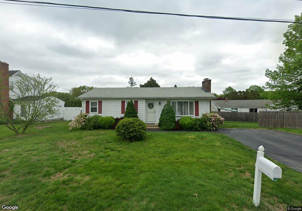
11 Arrowfield Rd Cranston, RI 02921
Comstock Gardens NeighborhoodEstimated Value: $447,000 - $506,000
3
Beds
2
Baths
2,271
Sq Ft
$207/Sq Ft
Est. Value
About This Home
This home is located at 11 Arrowfield Rd, Cranston, RI 02921 and is currently estimated at $469,940, approximately $206 per square foot. 11 Arrowfield Rd is a home located in Providence County with nearby schools including Stone Hill School, Western Hills Middle School, and Cranston High School West.
Ownership History
Date
Name
Owned For
Owner Type
Purchase Details
Closed on
Apr 12, 2002
Sold by
Rowles Susan A and Santurri Anthony
Bought by
Phillips Todd M and Phillips Cindy B
Current Estimated Value
Purchase Details
Closed on
Jan 5, 2002
Sold by
Gmac Mtg Co
Bought by
Rowles Susan A and Santurri Anthony J
Purchase Details
Closed on
Nov 9, 1988
Sold by
Cabral Paul M
Bought by
Crofwell William M
Create a Home Valuation Report for This Property
The Home Valuation Report is an in-depth analysis detailing your home's value as well as a comparison with similar homes in the area
Home Values in the Area
Average Home Value in this Area
Purchase History
| Date | Buyer | Sale Price | Title Company |
|---|---|---|---|
| Phillips Todd M | $168,500 | -- | |
| Rowles Susan A | $120,000 | -- | |
| Crofwell William M | $130,000 | -- |
Source: Public Records
Mortgage History
| Date | Status | Borrower | Loan Amount |
|---|---|---|---|
| Open | Crofwell William M | $145,200 | |
| Closed | Crofwell William M | $176,000 | |
| Closed | Crofwell William M | $25,000 |
Source: Public Records
Tax History
| Year | Tax Paid | Tax Assessment Tax Assessment Total Assessment is a certain percentage of the fair market value that is determined by local assessors to be the total taxable value of land and additions on the property. | Land | Improvement |
|---|---|---|---|---|
| 2025 | $5,220 | $376,100 | $140,000 | $236,100 |
| 2024 | $5,119 | $376,100 | $140,000 | $236,100 |
| 2023 | $5,177 | $273,900 | $100,100 | $173,800 |
| 2022 | $5,070 | $273,900 | $100,100 | $173,800 |
| 2021 | $4,930 | $273,900 | $100,100 | $173,800 |
| 2020 | $4,839 | $233,000 | $100,100 | $132,900 |
| 2019 | $4,839 | $233,000 | $100,100 | $132,900 |
| 2018 | $4,728 | $233,000 | $100,100 | $132,900 |
| 2017 | $4,570 | $199,200 | $85,800 | $113,400 |
| 2016 | $4,472 | $199,200 | $85,800 | $113,400 |
| 2015 | $4,472 | $199,200 | $85,800 | $113,400 |
| 2014 | $4,337 | $189,900 | $82,300 | $107,600 |
Source: Public Records
Map
Nearby Homes
- 25 Janet Dr
- 65 Janet Dr
- 20 Doreen Ct
- 17 Woodview Dr
- 95 Amy Dr
- 105 Amy Dr
- 244 Stony Acre Dr
- 1757 Plainfield Pike
- 27 Nardolillo St
- 1603 Plainfield Pike Unit G8
- 1603 Plainfield Pike Unit A2
- 141 Fox Ridge Dr
- 20 Woodland Ave
- 1 Roblyn Dr
- 0 Macera Dr
- 333 Phenix Ave
- 9 Baker St
- 93 Elena St
- 129 Simmonsville Ave
- 00 Burton St
Your Personal Tour Guide
Ask me questions while you tour the home.