11 Arrowwood Cir Rye Brook, NY 10573
Purchase NeighborhoodEstimated Value: $980,000 - $1,171,000
3
Beds
2
Baths
2,095
Sq Ft
$499/Sq Ft
Est. Value
About This Home
This home is located at 11 Arrowwood Cir, Rye Brook, NY 10573 and is currently estimated at $1,045,270, approximately $498 per square foot. 11 Arrowwood Cir is a home located in Westchester County with nearby schools including Bruno M. Ponterio Ridge Street School, Blind Brook Rye Middle School, and Blind Brook High School.
Ownership History
Date
Name
Owned For
Owner Type
Purchase Details
Closed on
Jun 24, 2016
Sold by
Terker Phyllis N and Terker Bruce E
Bought by
Lividini Xavier S and Lividini Diana
Current Estimated Value
Purchase Details
Closed on
Feb 5, 2010
Sold by
Terker Phyllis N
Bought by
Terker Richard C and Terker Bruce E
Purchase Details
Closed on
Feb 5, 2001
Sold by
Terker Richard G
Bought by
Terker Phyllis N and Terker Bruce E
Create a Home Valuation Report for This Property
The Home Valuation Report is an in-depth analysis detailing your home's value as well as a comparison with similar homes in the area
Home Values in the Area
Average Home Value in this Area
Purchase History
| Date | Buyer | Sale Price | Title Company |
|---|---|---|---|
| Lividini Xavier S | $775,000 | New York Title | |
| Terker Richard C | -- | None Available | |
| Terker Phyllis N | -- | None Available | |
| Terker Richard G | -- | None Available |
Source: Public Records
Tax History Compared to Growth
Tax History
| Year | Tax Paid | Tax Assessment Tax Assessment Total Assessment is a certain percentage of the fair market value that is determined by local assessors to be the total taxable value of land and additions on the property. | Land | Improvement |
|---|---|---|---|---|
| 2024 | $21,716 | $809,200 | $230,400 | $578,800 |
| 2023 | $19,974 | $809,200 | $230,400 | $578,800 |
| 2022 | $20,954 | $770,700 | $230,400 | $540,300 |
| 2021 | $20,663 | $770,700 | $230,400 | $540,300 |
| 2020 | $20,399 | $770,700 | $230,400 | $540,300 |
| 2019 | $38,843 | $813,100 | $298,500 | $514,600 |
| 2018 | $14,049 | $794,400 | $292,300 | $502,100 |
| 2017 | $2,257 | $753,400 | $233,200 | $520,200 |
| 2016 | $20,888 | $532,900 | $151,000 | $381,900 |
| 2015 | -- | $598,500 | $171,000 | $427,500 |
| 2014 | -- | $573,400 | $157,100 | $416,300 |
| 2013 | -- | $547,200 | $130,900 | $416,300 |
Source: Public Records
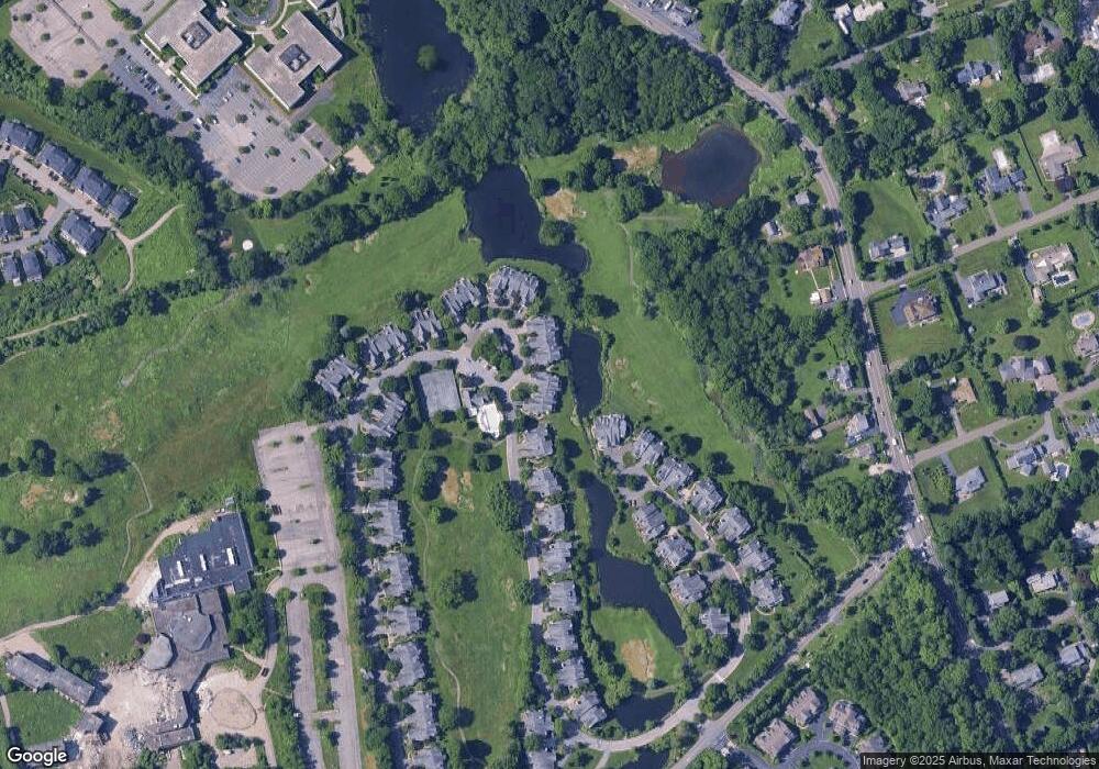
Map
Nearby Homes
- 15 Arrowwood Cir Unit 136
- 27 Doral Greens Dr E
- 125 Bowman Dr
- 1 Primrose Ln
- 27 Lavender Ln
- Cypress Plan at Kingfield - Townhouse Suites
- Dogwood Plan at Kingfield - Single-Family Suites
- Aspen Plan at Kingfield - Townhouse Suites
- Birch Plan at Kingfield - Single-Family Suites
- Chestnut Plan at Kingfield - Townhouse Suites
- 21 Honeysuckle Ln
- 26 Reunion Rd
- 53 Country Ridge Dr
- 1 Element Ln
- 8 Chieftans Rd
- 53 Shady Ln
- 5 Bristol Ln
- 7 Curt Terrace
- 26 Shady Ln
- 15 Walker Ct
- 9 Arrowwood Cir
- 7 Arrowwood Cir
- 17 Arrowwood Cir
- 3 Arrowwood Cir
- 1 Arrowwood Cir Unit 139
- 19 Arrowwood Cir
- 21 Arrowwood Cir
- 33 Doral Greens Dr W
- 23 Arrowwood Cir
- 25 Arrowwood Cir
- 29 Doral Greens Dr E
- 31 Doral Greens Dr W
- 27 Arrowwood Cir Unit 134
- 29 Doral Greens Dr W
- 29 Arrowwood Cir
- 31 Arrowwood Cir
- 33 Arrowwood Cir
- 25 Doral Greens Dr E
- 39 Arrowwood Cir
- 35 Arrowwood Cir Unit 133