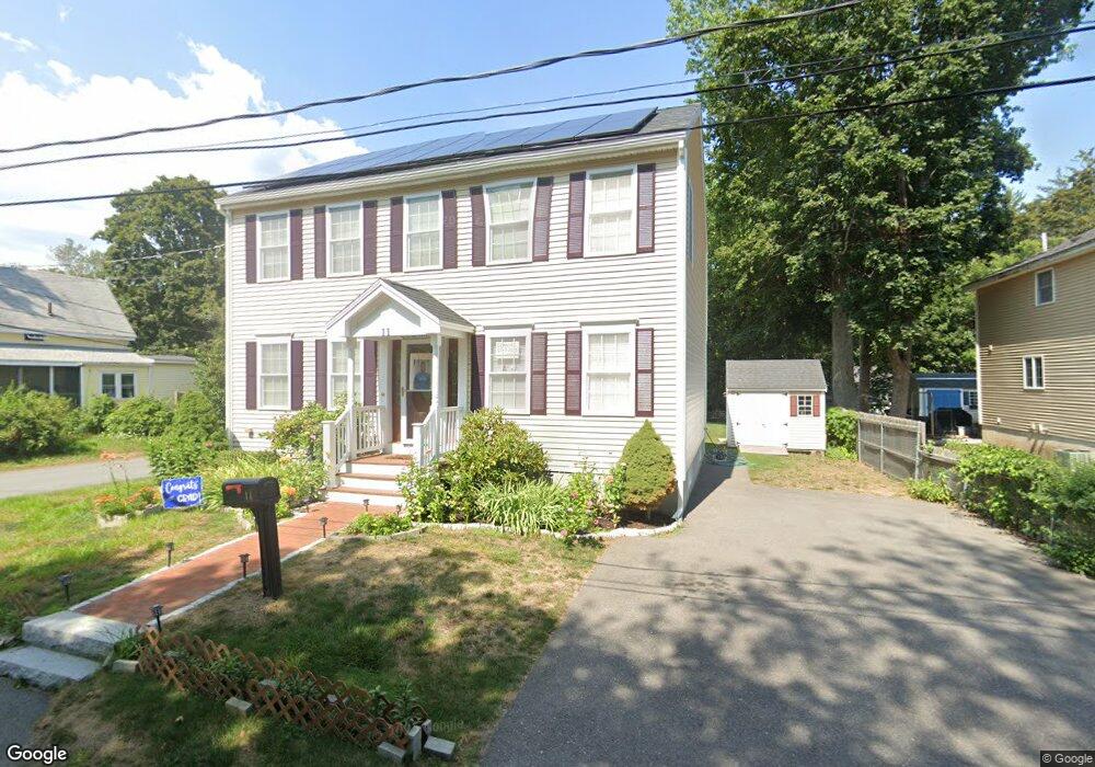
11 Arthur Ave South Hamilton, MA 01982
Estimated Value: $799,000 - $902,000
2
Beds
2
Baths
1,009
Sq Ft
$836/Sq Ft
Est. Value
About This Home
This home is located at 11 Arthur Ave, South Hamilton, MA 01982 and is currently estimated at $843,224, approximately $835 per square foot. 11 Arthur Ave is a home located in Essex County with nearby schools including Winthrop School, Cutler Elementary School, and Bessie Buker Elementary School.
Ownership History
Date
Name
Owned For
Owner Type
Purchase Details
Closed on
Nov 28, 2011
Sold by
Rema Rt
Bought by
Hickory Street Rt
Current Estimated Value
Purchase Details
Closed on
Aug 9, 2011
Sold by
Cusack Sean
Bought by
Federal National Mortgage Association
Purchase Details
Closed on
Aug 21, 2006
Sold by
Cusack Sean
Bought by
Cusack Sean
Purchase Details
Closed on
Apr 24, 1991
Sold by
Hart Elizabeth C
Bought by
Cusack Sean F
Create a Home Valuation Report for This Property
The Home Valuation Report is an in-depth analysis detailing your home's value as well as a comparison with similar homes in the area
Home Values in the Area
Average Home Value in this Area
Purchase History
| Date | Buyer | Sale Price | Title Company |
|---|---|---|---|
| Hickory Street Rt | -- | -- | |
| Rema Rt | $172,200 | -- | |
| Federal National Mortgage Association | $355,277 | -- | |
| Cusack Sean | -- | -- | |
| Cusack Sean F | $105,000 | -- |
Source: Public Records
Mortgage History
| Date | Status | Borrower | Loan Amount |
|---|---|---|---|
| Open | Cusack Sean F | $369,550 | |
| Previous Owner | Cusack Sean F | $331,000 |
Source: Public Records
Tax History Compared to Growth
Tax History
| Year | Tax Paid | Tax Assessment Tax Assessment Total Assessment is a certain percentage of the fair market value that is determined by local assessors to be the total taxable value of land and additions on the property. | Land | Improvement |
|---|---|---|---|---|
| 2025 | $11,414 | $729,300 | $261,400 | $467,900 |
| 2024 | $10,810 | $715,400 | $261,400 | $454,000 |
| 2023 | $11,106 | $679,700 | $242,300 | $437,400 |
| 2022 | $9,705 | $542,800 | $219,500 | $323,300 |
| 2021 | $9,504 | $542,800 | $219,500 | $323,300 |
| 2020 | $9,217 | $542,800 | $219,500 | $323,300 |
| 2019 | $8,743 | $530,500 | $213,100 | $317,400 |
| 2018 | $8,331 | $513,600 | $201,100 | $312,500 |
| 2017 | $8,370 | $497,900 | $188,000 | $309,900 |
| 2016 | $8,163 | $473,200 | $172,400 | $300,800 |
| 2015 | $7,714 | $451,400 | $164,200 | $287,200 |
| 2014 | $7,633 | $438,700 | $167,800 | $270,900 |
Source: Public Records
Map
Nearby Homes
- 88 Maple St
- 211 Linden St
- NHN Hamilton Heights
- 17 Canter Brook Ln Unit 17
- 315 Lake Dr
- 45 Willow St
- 232 Lake Dr
- 45 Walnut Rd
- 115 Pleasant St
- 169 Main St
- 92 Pleasant St
- 18 Larch Row
- 0 Meyer Ln
- 2 Lily Ln
- 98 Main St
- 173 Miles River Rd
- 161 Bridge St
- 16 Pine Hill Rd Unit 16
- 231 Larch Row
- 946 Bay Rd Unit 2
- 15 Arthur Ave
- 19 Arthur Ave
- 32 Garfield Ave
- 22 Grant Ave
- 36 Garfield Ave
- 36 Garfield Ave Unit 1
- 31 Garfield Ave
- 3 Arthur Ave
- 20 Garfield Ave
- 15 Roosevelt Ave
- 21 Garfield Ave
- 42 Grant Ave
- 25 Arthur Ave
- 41 Grant Ave
- 40 Garfield Ave
- 17 Washington Ave
- 14 Garfield Ave
- 12 Roosevelt Ave
- 9 Roosevelt Ave
- 24 Washington Ave